Download
Preview
Add to list
More
10.6 km
~2 hrs 50 min
438 m
Loop
“Embark on an 11 km journey through Ahrweiler's medieval charm, lush forests, and panoramic Ahr Valley vistas.”
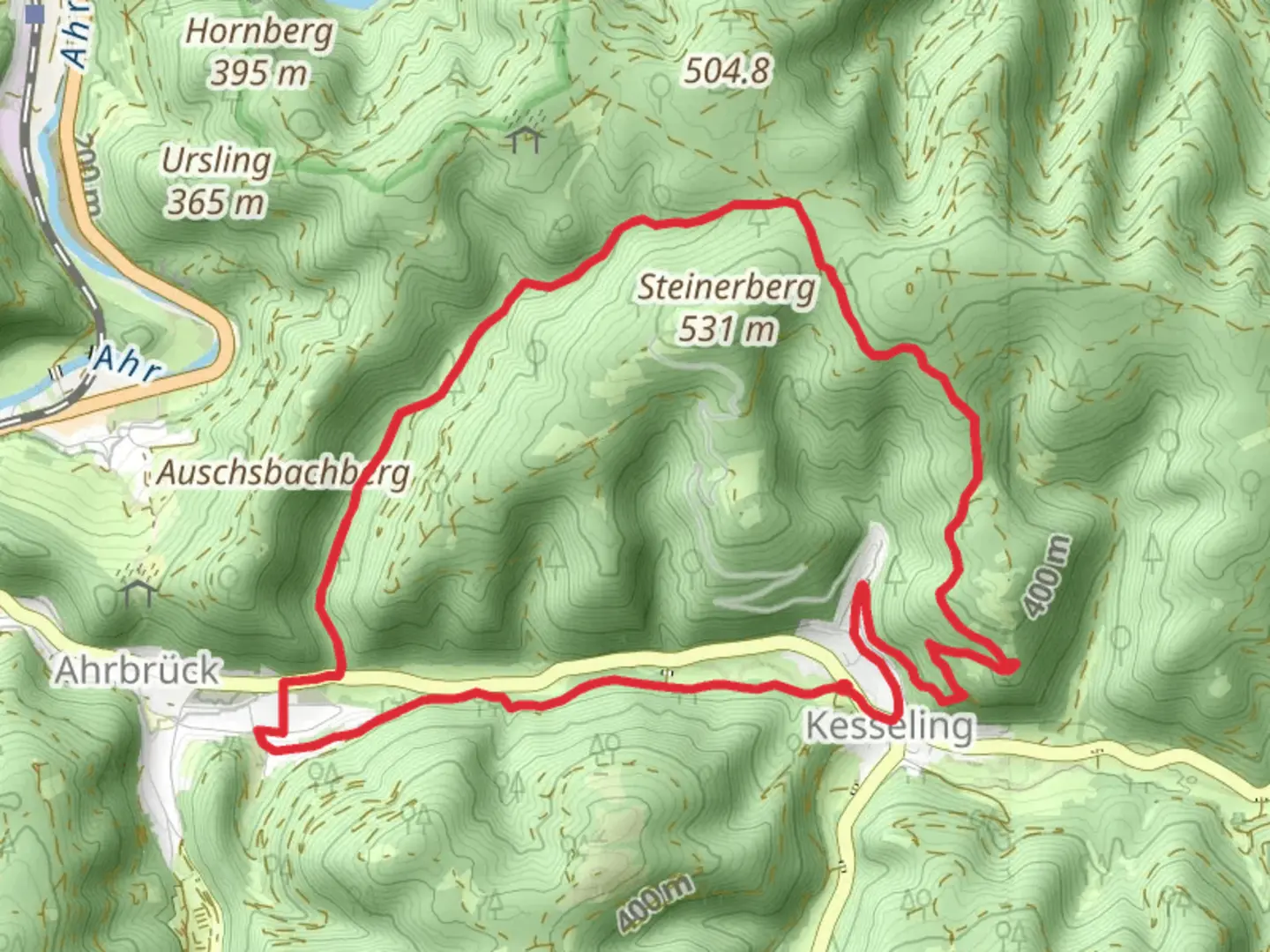
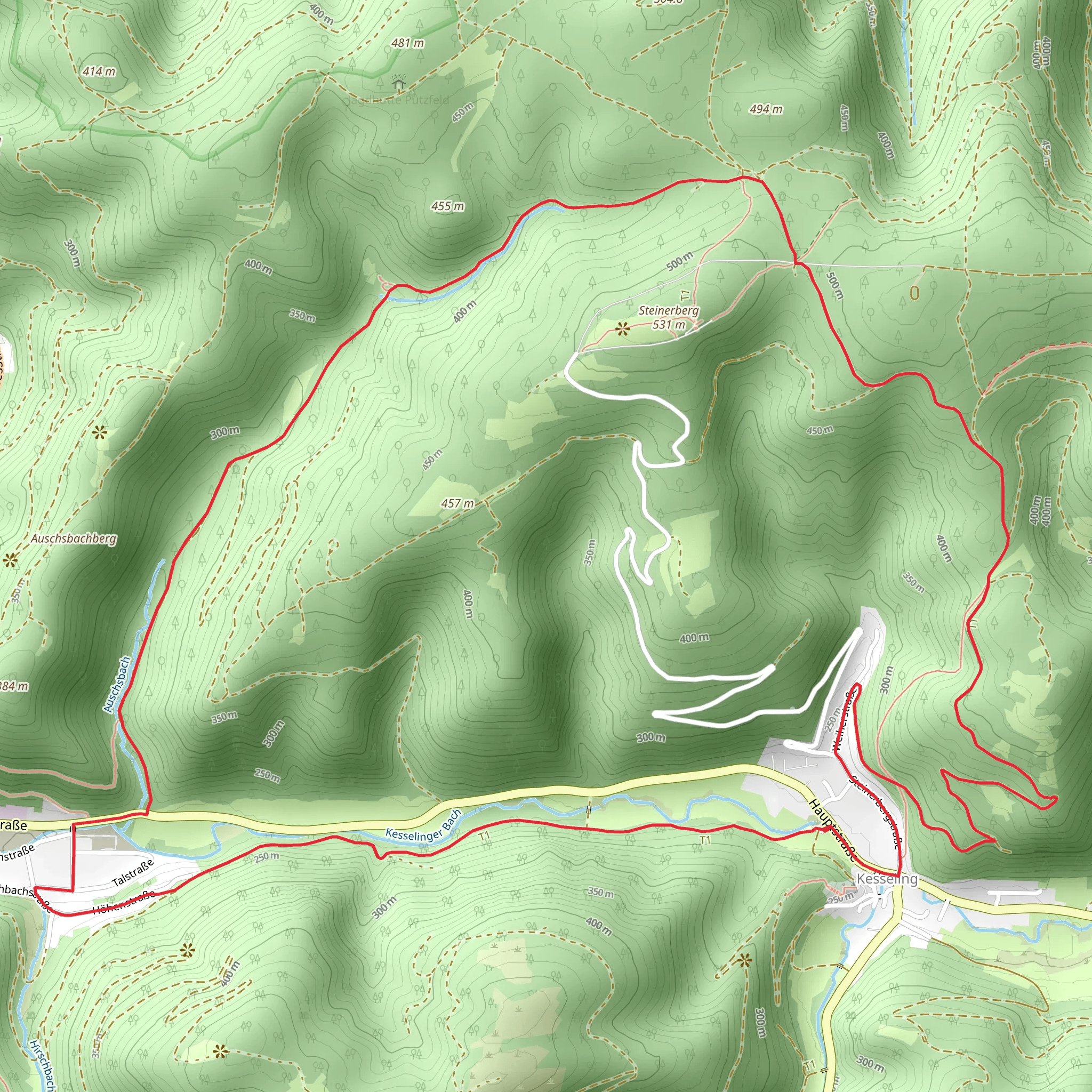
Starting near the charming town of Ahrweiler, Germany, the Kessling, Steinerberg, and Ahrbruck Loop is a delightful 11 km (approximately 6.8 miles) journey with an elevation gain of around 400 meters (about 1,312 feet). This loop trail is rated as medium difficulty, making it suitable for moderately experienced hikers.
Getting There
To reach the trailhead, you can either drive or use public transport. If you're driving, Ahrweiler is well-connected by road, and there are several parking options available in the town. For those using public transport, Ahrweiler is accessible via train from major cities like Bonn and Koblenz. The nearest train station is Ahrweiler Markt, from where you can walk to the trailhead.
Trail Overview
The trail begins near Ahrweiler, a town known for its medieval architecture and historic significance. As you start your hike, you'll immediately notice the well-preserved city walls and gates, which date back to the 13th century. This area is steeped in history, having been a significant location during the Roman Empire and later during the Middle Ages.
Kessling Section
The first section of the trail takes you through the Kessling area. Here, you'll traverse through dense forests and rolling hills. The initial ascent is gradual, gaining about 100 meters (328 feet) over the first 2 km (1.2 miles). Keep an eye out for local wildlife such as deer and various bird species. The forest is primarily composed of beech and oak trees, providing ample shade and a serene atmosphere.
Steinerberg Ascent
As you approach the Steinerberg section, the trail becomes steeper, with an elevation gain of approximately 200 meters (656 feet) over the next 3 km (1.9 miles). This part of the hike offers stunning panoramic views of the Ahr Valley. The Steinerberg is also home to a small chapel, the Steinerberg Chapel, which is a perfect spot for a short rest and some picturesque photos.
Ahrbruck Descent
The final section of the loop takes you towards Ahrbruck. The descent is more gradual, losing about 100 meters (328 feet) in elevation over the last 3 km (1.9 miles). This part of the trail is less forested, offering more open views of the surrounding countryside. You'll pass through vineyards and small farms, giving you a taste of the local agricultural landscape.
Navigation and Safety
For navigation, it's highly recommended to use the HiiKER app, which provides detailed maps and real-time updates. The trail is well-marked, but having a reliable navigation tool will ensure you stay on track. Always carry enough water, snacks, and a basic first-aid kit. Weather can change rapidly, so check the forecast and dress in layers.
Historical Significance
The Ahr Valley has a rich history, from Roman times to the medieval period. Ahrweiler itself is a testament to this, with its well-preserved city walls and historical buildings. The region was also significant during World War II, and you may come across memorials and plaques commemorating these events.
This loop trail offers a perfect blend of natural beauty, historical landmarks, and moderate physical challenge, making it a rewarding experience for any hiker.
What to expect?
Activity types
Comments and Reviews
User comments, reviews and discussions about the Kessling, Steinerberg and Ahrbruck Loop, Germany.
5.0
average rating out of 5
1 rating(s)
