Download
Preview
Add to list
More
7.0 km
~1 hrs 48 min
253 m
Loop
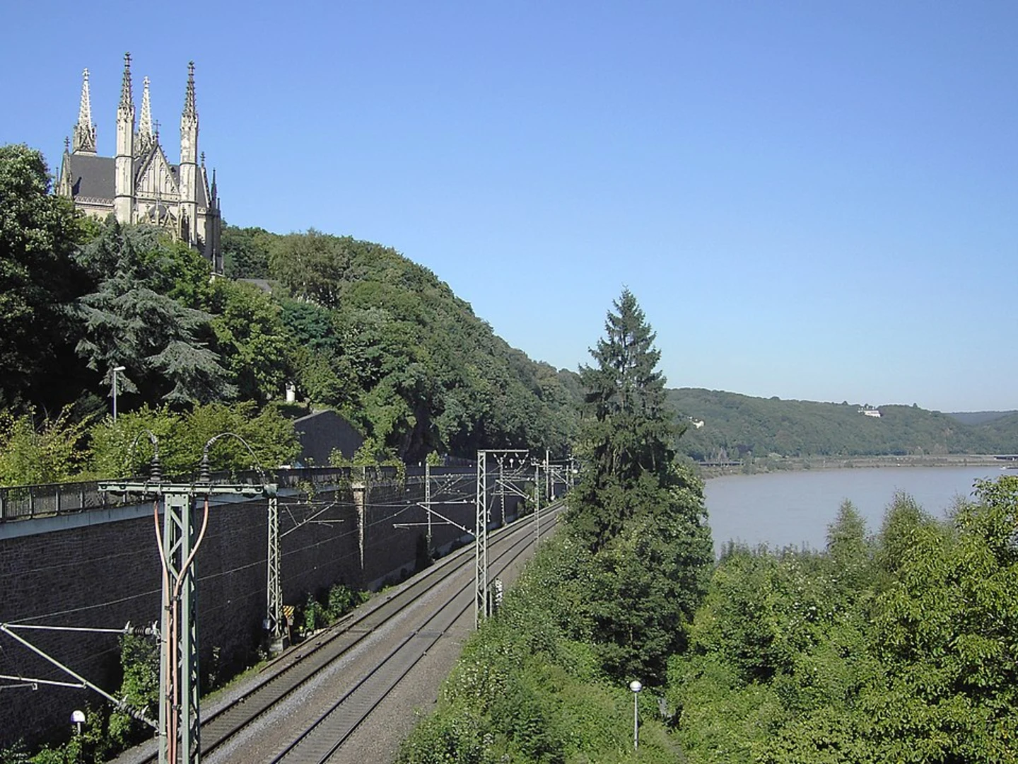
“Explore Ahrweiler's scenic 7 km trail, blending natural beauty, historical ruins, and panoramic views.”
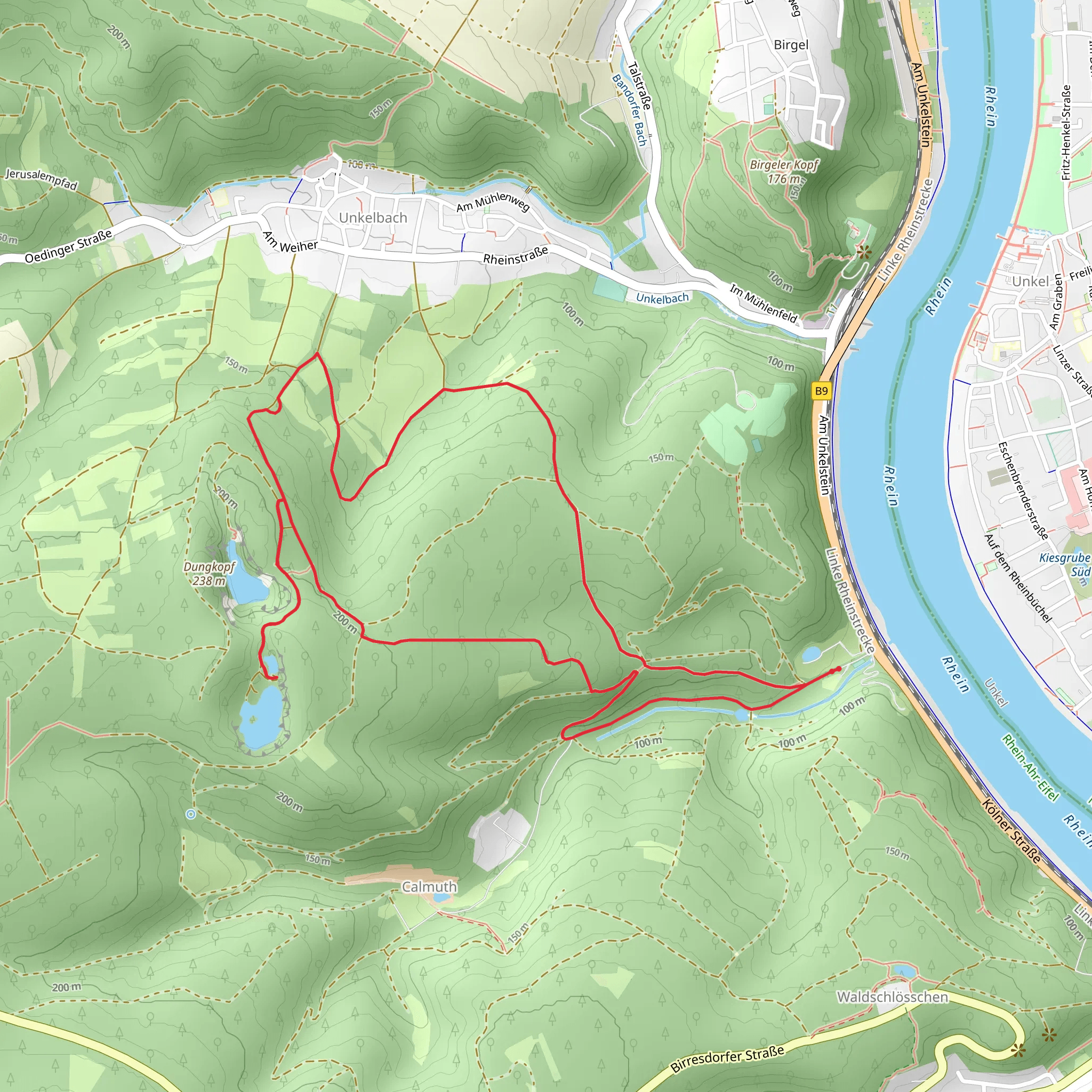
Starting near the picturesque town of Ahrweiler in Germany, this 7 km (4.3 miles) loop trail offers a delightful mix of natural beauty and historical intrigue. With an elevation gain of around 200 meters (656 feet), the trail is rated as medium difficulty, making it suitable for moderately experienced hikers.
Getting There To reach the trailhead, you can either drive or use public transport. If you're driving, set your GPS to Ahrweiler, a charming town known for its medieval walls and half-timbered houses. For those using public transport, take a train to Ahrweiler station. From there, it's a short walk to the trailhead.
Trail Overview The trail begins near Ahrweiler and quickly immerses you in the serene landscapes of the Rhineland-Palatinate region. As you start your hike, you'll follow the Linksrheinischer Jakobsweg, a historic pilgrimage route that has been traveled for centuries. This section of the trail is well-marked and offers a gentle ascent, allowing you to ease into the hike.
Landmarks and Points of Interest Around the 2 km (1.2 miles) mark, you'll come across the remnants of Roman fortifications. These ancient ruins are a testament to the region's rich history and offer a fascinating glimpse into the past. Make sure to take a moment to explore and appreciate the historical significance of these structures.
Continuing along the trail, you'll transition onto the Wanderweg Remagen. This part of the hike takes you through lush forests and open meadows, providing a diverse range of scenery. Keep an eye out for local wildlife, including deer and various bird species, which are commonly spotted in this area.
Elevation and Terrain As you approach the halfway point, the trail begins to climb more steeply, gaining most of the 200 meters (656 feet) in elevation. The ascent is manageable but will get your heart pumping. The path is well-maintained, but be prepared for some rocky sections and uneven terrain.
Reaching Dungkopf At approximately 4 km (2.5 miles), you'll reach the summit of Dungkopf. Here, you'll be rewarded with panoramic views of the surrounding countryside. On a clear day, you can see the Ahr Valley stretching out below, dotted with vineyards and quaint villages. This is an excellent spot to take a break, have a snack, and soak in the scenery.
Descending Back to Ahrweiler The descent begins shortly after leaving the summit and is more gradual, allowing you to enjoy the return journey at a leisurely pace. The trail loops back towards Ahrweiler, passing through more forested areas and offering occasional glimpses of the town below.
Navigation For navigation, it's highly recommended to use the HiiKER app, which provides detailed maps and real-time updates to ensure you stay on track. The trail is well-marked, but having a reliable navigation tool can enhance your hiking experience and provide peace of mind.
Historical Significance The region around Ahrweiler is steeped in history. The town itself dates back to Roman times and has been a significant location throughout various periods, including the Middle Ages. The Linksrheinischer Jakobsweg is part of the larger network of Camino de Santiago routes, which have been used by pilgrims for centuries.
This hike offers a perfect blend of natural beauty, physical challenge, and historical exploration, making it a rewarding experience for any hiker.
What to expect?
Activity types
Comments and Reviews
User comments, reviews and discussions about the Dungkopf via Linksrheinischer Jakobsweg and Wanderweg Remagen, Germany.
4.25
average rating out of 5
4 rating(s)

