Download
Preview
Add to list
More
13.4 km
~3 hrs 17 min
367 m
Loop
“Discover a captivating blend of nature and history on this scenic trail near Ahrweiler, Germany.”
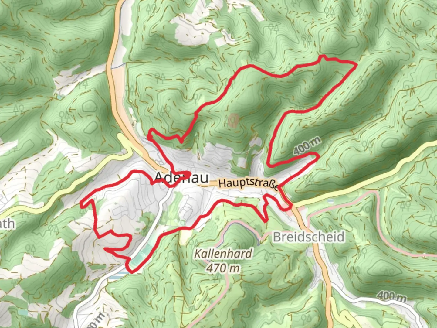
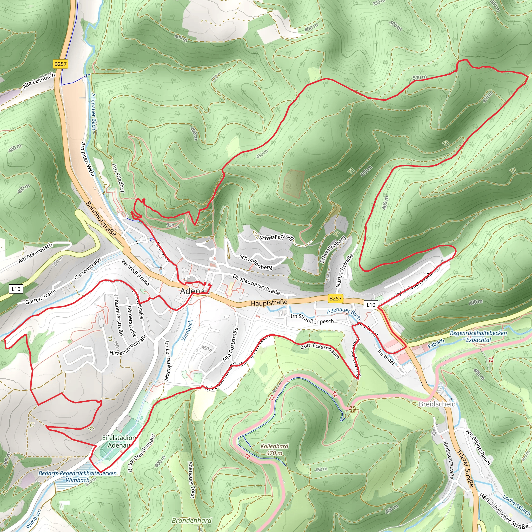
Nestled in the picturesque region near Ahrweiler, Germany, this 13 km (approximately 8 miles) loop trail offers a delightful mix of natural beauty and historical intrigue. With an elevation gain of around 300 meters (about 984 feet), the trail is rated as medium difficulty, making it suitable for moderately experienced hikers seeking a rewarding day out in nature.
Getting There
To reach the trailhead, you can drive to Ahrweiler, which is well-connected by road. If you prefer public transport, Ahrweiler is accessible via train from major cities like Bonn and Cologne. From the Ahrweiler train station, local buses or a short taxi ride can take you to the trailhead.
Trail Highlights
#### Scenic Landscapes
As you embark on this loop, you'll be greeted by the serene beauty of the Rhineland-Palatinate region. The trail meanders through lush forests and open meadows, offering panoramic views of the surrounding hills. The diverse landscape provides ample opportunities for photography and quiet reflection.
#### Historical Significance
The area around Ahrweiler is steeped in history, with remnants of its past visible along the trail. The region was once a significant part of the Roman Empire, and you may encounter ancient ruins and historical markers that tell the story of its rich heritage. Keep an eye out for the remnants of old fortifications and traditional German architecture that dot the landscape.
Nature and Wildlife
The trail is a haven for nature enthusiasts, with a variety of flora and fauna to observe. Depending on the season, you might spot wildflowers, deer, and a variety of bird species. The forested sections of the trail are particularly vibrant in autumn, when the foliage turns into a tapestry of reds, oranges, and yellows.
Navigation and Safety
For navigation, the HiiKER app is an excellent tool to ensure you stay on track. The trail is well-marked, but having a digital map can provide additional peace of mind. As with any hike, it's important to wear appropriate footwear and carry enough water, especially during warmer months.
Points of Interest
Around the halfway mark, you'll encounter the Bedarfs-Regenrückhaltebecken Wimbach, a significant landmark that serves as a rainwater retention basin. This area is not only functional but also offers a unique landscape feature that contrasts with the natural surroundings.
As you continue, the Rhein Venn Weg section of the trail provides a gentle ascent, rewarding you with sweeping views of the valley below. This part of the trail is particularly popular for its scenic vistas and is a great spot to take a break and enjoy a packed lunch.
Final Stretch
The loop concludes with a descent back towards the trailhead, passing through more wooded areas and open fields. This section is relatively easy, allowing you to relax and reflect on the journey as you make your way back to the starting point.
Whether you're drawn by the natural beauty, the historical elements, or the chance to explore a lesser-known part of Germany, this trail offers a fulfilling hiking experience that captures the essence of the region.
Comments and Reviews
User comments, reviews and discussions about the Bedarfs-Regenrückhaltebecken Wimbach via Rhein Venn Weg, Germany.
5.0
average rating out of 5
2 rating(s)
