Download
Preview
Add to list
More
8.0 km
~2 hrs 7 min
312 m
Out and Back
“Explore the Upper River and Ribbon Trail for scenic views, moderate challenges, and rich history near Upson County.”
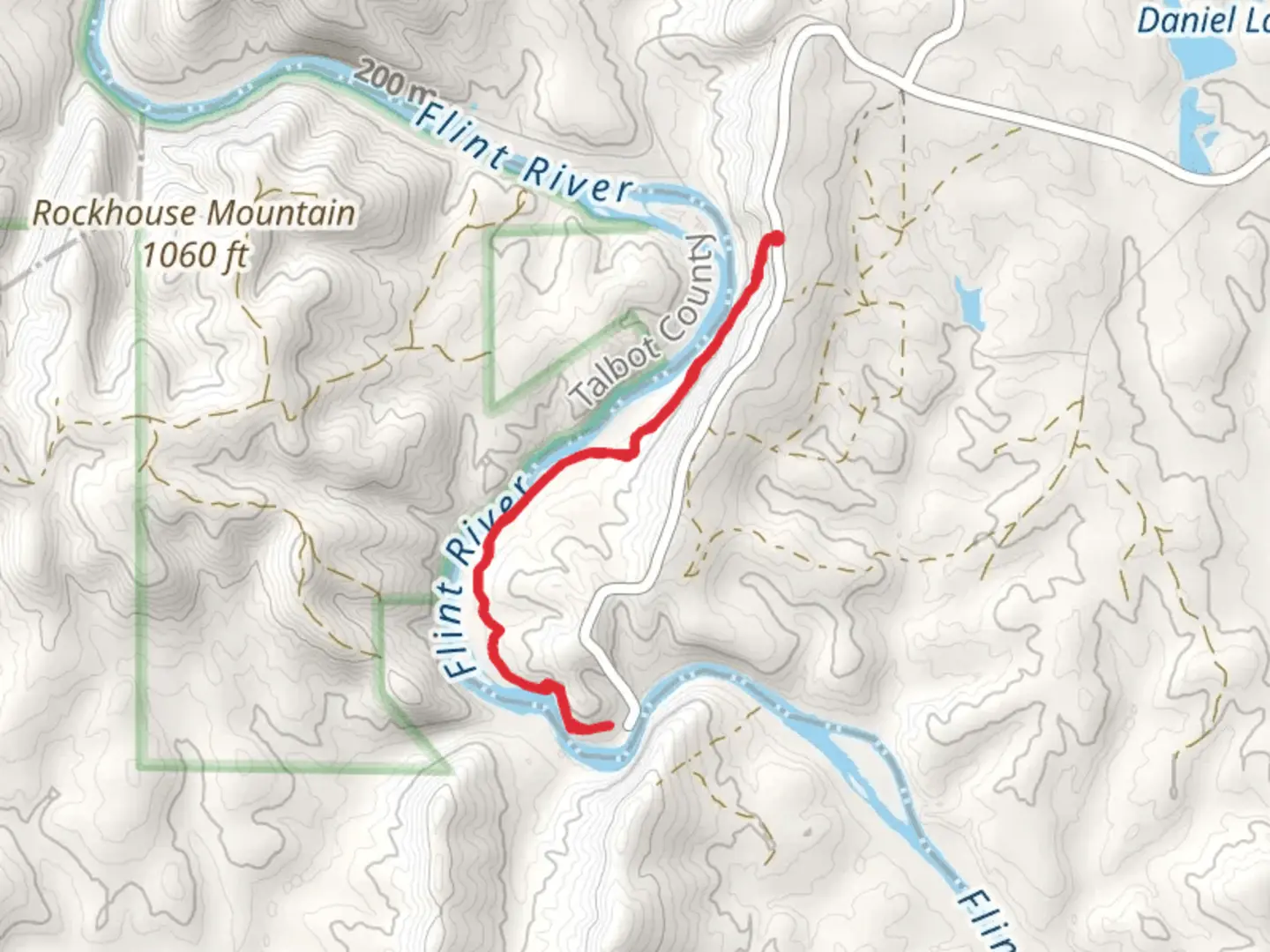
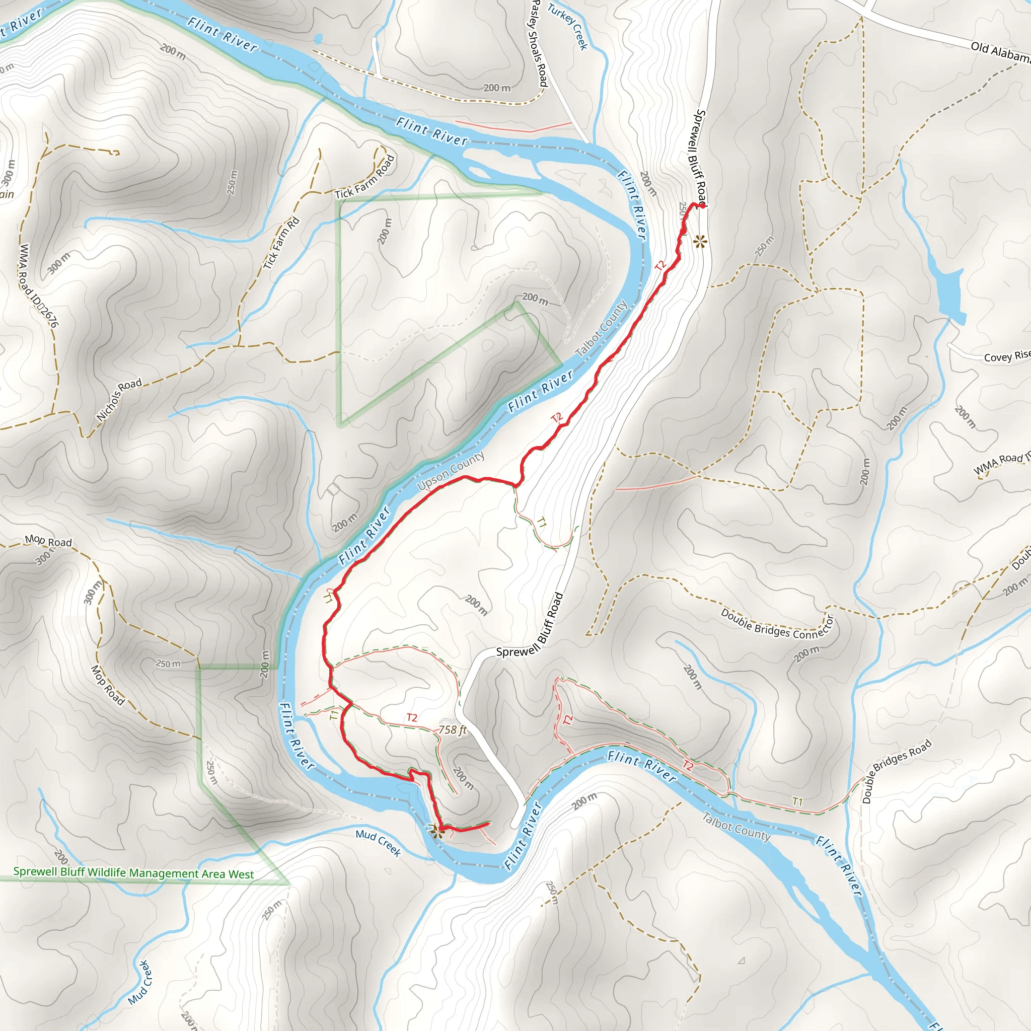
Starting your adventure near Upson County, Georgia, the Upper River and Ribbon Trail offers an 8 km (approximately 5 miles) out-and-back journey with an elevation gain of around 300 meters (about 984 feet). This trail is rated as medium difficulty, making it suitable for moderately experienced hikers.
Getting There To reach the trailhead, you can drive or use public transport. If driving, head towards Sprewell Bluff Park, located at 700 Sprewell Bluff Road, Thomaston, GA 30286. This park is well-signposted and offers ample parking. For those using public transport, the nearest major city is Atlanta, from where you can take a bus to Thomaston and then a local taxi or rideshare service to the park.
Trail Overview The trail begins near the banks of the Flint River, offering immediate scenic views of the water. The first kilometer (0.6 miles) is relatively flat, making it a good warm-up section. As you proceed, the trail starts to ascend gradually, with the first significant elevation gain occurring around the 2 km (1.2 miles) mark. Here, you’ll encounter a series of switchbacks that lead you up through a mixed forest of oak, pine, and hickory trees.
Landmarks and Points of Interest At approximately 3 km (1.8 miles), you’ll come across a small waterfall known locally as Ribbon Falls. This is a great spot to take a break and enjoy the natural beauty. The falls are particularly impressive after a period of rain, so plan your visit accordingly if you want to see them at their best.
Continuing on, the trail levels out somewhat, offering a more leisurely hike through dense forest. Keep an eye out for local wildlife; deer, foxes, and a variety of bird species are commonly spotted in this area. The trail then descends slightly as you approach the turnaround point at around 4 km (2.5 miles), where you’ll find a scenic overlook offering panoramic views of the Flint River and surrounding countryside.
Historical Significance The region around Upson County has a rich history, dating back to the early 19th century. The Flint River was a crucial waterway for Native American tribes and later for European settlers. The area was also significant during the Civil War, serving as a strategic location for both Confederate and Union forces. As you hike, you may notice remnants of old homesteads and mills, adding a historical dimension to your journey.
Navigation and Safety For navigation, it’s highly recommended to use the HiiKER app, which provides detailed maps and real-time updates. The trail is well-marked, but having a reliable navigation tool can enhance your experience and ensure you stay on track.
Flora and Fauna The trail is home to a diverse range of plant life, including wildflowers in the spring and vibrant foliage in the fall. The forest canopy provides ample shade, making it a pleasant hike even during warmer months. Be sure to carry enough water, especially during summer, as the elevation gain can be quite demanding.
Final Stretch As you make your way back, the descent offers a different perspective on the landscape, with the Flint River often visible through gaps in the trees. The return journey allows you to appreciate the trail’s natural beauty from a new angle, making the entire hike a rewarding experience.
This trail offers a balanced mix of natural beauty, moderate physical challenge, and historical intrigue, making it a must-visit for hikers in the region.
What to expect?
Activity types
Comments and Reviews
User comments, reviews and discussions about the Upper River and Ribbon Trail, Georgia.
4.44
average rating out of 5
27 rating(s)
