Download
Preview
Add to list
More
8.2 km
~2 hrs 15 min
364 m
Point-to-Point
“Embark on a scenic, moderately challenging 8 km hike through lush forests to historic Springer Mountain.”
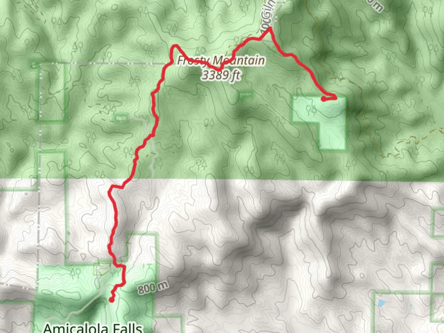
Starting near Dawson County, Georgia, the Len Foote and Appalachian Trail offers a rewarding hiking experience with a distance of around 8 km (approximately 5 miles) and an elevation gain of about 300 meters (roughly 984 feet). This point-to-point trail is rated as medium difficulty, making it suitable for moderately experienced hikers.
Getting There To reach the trailhead, you can drive or use public transport. If driving, head towards Amicalola Falls State Park, which is a well-known landmark in the area. The nearest significant address is 418 Amicalola Falls State Park Rd, Dawsonville, GA 30534. From there, follow the signs to the trailhead. For those using public transport, the nearest major city is Atlanta, Georgia. From Atlanta, you can take a bus or shuttle service to Dawsonville and then a taxi or rideshare to Amicalola Falls State Park.
Trail Overview The trail begins near the visitor center at Amicalola Falls State Park. The initial section is relatively gentle, allowing you to warm up as you traverse through lush forests filled with oak, hickory, and pine trees. Keep an eye out for local wildlife such as white-tailed deer, wild turkeys, and various bird species.
Significant Landmarks At approximately 2 km (1.2 miles) into the hike, you'll encounter the Len Foote Hike Inn, a unique eco-friendly lodge that offers a great spot for a short rest. The inn is known for its sustainable practices and provides an opportunity to learn about environmental conservation.
Continuing on, the trail becomes steeper as you approach the Appalachian Trail junction. This section offers some challenging inclines, so be prepared for a bit of a workout. The elevation gain here is around 150 meters (492 feet) over a distance of 1.5 km (0.9 miles).
Historical Significance The Appalachian Trail, which this hike intersects, is one of the most famous long-distance hiking trails in the world, stretching over 2,190 miles from Georgia to Maine. This section of the trail has historical significance as it marks the southern terminus of the Appalachian Trail, a dream destination for many thru-hikers.
Navigation and Safety For navigation, it's highly recommended to use the HiiKER app, which provides detailed maps and real-time updates. The trail is well-marked, but having a reliable navigation tool can be invaluable, especially in areas with dense foliage.
Final Stretch As you near the end of the trail, you'll be rewarded with stunning views of the North Georgia mountains. The final 2 km (1.2 miles) are relatively flat, allowing you to cool down and enjoy the scenery. The trail concludes at Springer Mountain, another significant landmark and the official starting point of the Appalachian Trail.
Wildlife and Flora Throughout the hike, you'll be immersed in a rich tapestry of flora and fauna. In spring and summer, the trail is adorned with wildflowers like trillium and mountain laurel. Autumn brings a spectacular display of fall colors, making it a popular time for hikers.
Preparation Tips Given the medium difficulty rating, it's advisable to wear sturdy hiking boots and bring plenty of water. Snacks or a packed lunch can be enjoyed at the Len Foote Hike Inn or at various scenic spots along the trail. Weather can be unpredictable, so check the forecast and dress in layers.
This trail offers a blend of natural beauty, historical significance, and moderate physical challenge, making it a must-visit for any hiking enthusiast.
What to expect?
Activity types
Comments and Reviews
User comments, reviews and discussions about the Len Foote and Appalachian Trail, Georgia.
4.43
average rating out of 5
35 rating(s)
