Download
Preview
Add to list
More
20.6 km
~2 days
949 m
Multi-Day
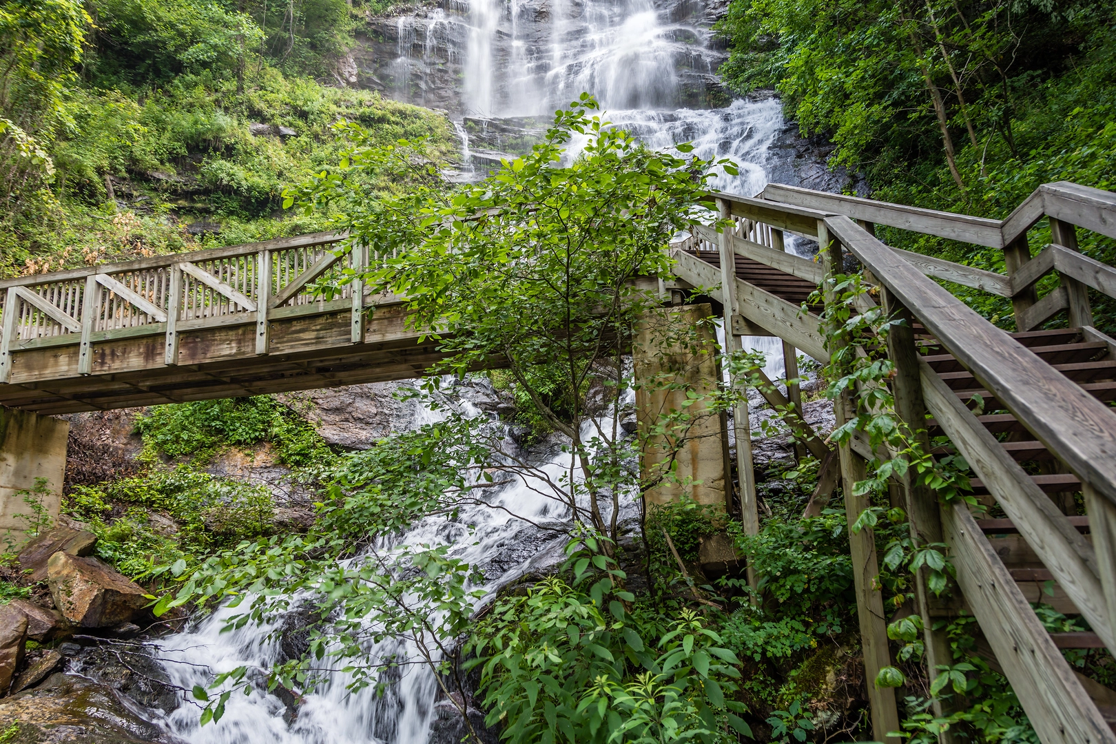
“Embark on a scenic, historic, and demanding 21-km hike through the diverse landscapes of Georgia's Appalachian gateway.”
The Creek Trail and AT Approach Trail Loop is a challenging yet rewarding hike located near Dawson County, Georgia. Spanning approximately 21 kilometers (13 miles) with an elevation gain of around 900 meters (2950 feet), this loop trail offers a diverse and engaging experience for seasoned hikers.Getting There To reach the trailhead, hikers can drive to Amicalola Falls State Park, which is the starting point for this adventure. The park is accessible via GA-52; follow the signs for the Amicalola Falls Visitor Center. Parking is available at the visitor center, and from there, the trailhead is clearly marked. For those relying on public transport, options are limited, and it's advisable to check local resources for the latest schedules and routes to the park.Trail Experience The hike begins with a strenuous climb up the famous Amicalola Falls, which at 222 meters (729 feet) is the tallest cascading waterfall in the Southeast. The falls are a highlight of the region and provide a spectacular backdrop for the start of the hike. After ascending the falls, the trail continues through dense hardwood forests, offering a canopy of shade and the chance to spot local wildlife such as deer, black bears, and a variety of bird species.Historical Significance This area is steeped in history, as it serves as the southern terminus for the Appalachian Trail (AT), one of the longest continuously marked footpaths in the world. The AT Approach Trail, which is part of this loop, is the gateway for many hikers embarking on the epic journey to Maine. The trail itself traverses the Chattahoochee National Forest, an area rich in biodiversity and history, including Native American heritage and early pioneer settlements.Navigating the Trail As you progress along the trail, you'll encounter a mix of steep inclines and more moderate sections. The loop includes a portion of the AT Approach Trail, which is well-maintained and marked with the iconic white blazes. For navigation, HiiKER is an excellent tool to use, providing detailed maps and trail information to ensure you stay on the right path.Landmarks and Nature Approximately halfway through the hike, you'll reach Springer Mountain, another significant landmark. This is the official start of the Appalachian Trail and offers stunning panoramic views of the surrounding mountains. The area is also known for its wildflowers, especially in spring, adding a splash of color to the landscape.Preparation and Planning Given the trail's difficulty rating and length, it's essential to be well-prepared. Bring plenty of water, high-energy snacks, and a first-aid kit. Wear sturdy hiking boots and dress in layers to adapt to changing weather conditions. It's also wise to start early to ensure enough daylight to complete the hike.Wildlife and Safety While the trail offers the chance to observe wildlife, it's important to remember that you are a visitor in their habitat. Keep a safe distance from animals, store food securely, and be bear-aware. Always let someone know your hiking plans and expected return time.Conclusion The Creek Trail and AT Approach Trail Loop is a hike that offers a bit of everything: challenging climbs, historical significance, and natural beauty. With proper preparation and respect for the environment, it's a hike that promises to be a memorable experience for any avid hiker.

What to expect?
Activity types
Comments and Reviews
User comments, reviews and discussions about the Creek Trail and AT Approach Trail Loop, Georgia.
4.53
average rating out of 5
15 rating(s)