Download
Preview
Add to list
More
2.3 km
~32 min
47 m
Out and Back
“Explore the serene, historically rich Whitehall Shoals trail, a 2 km flat hike near Athens, Georgia.”
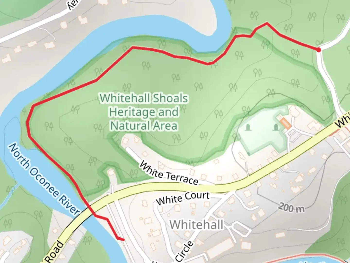
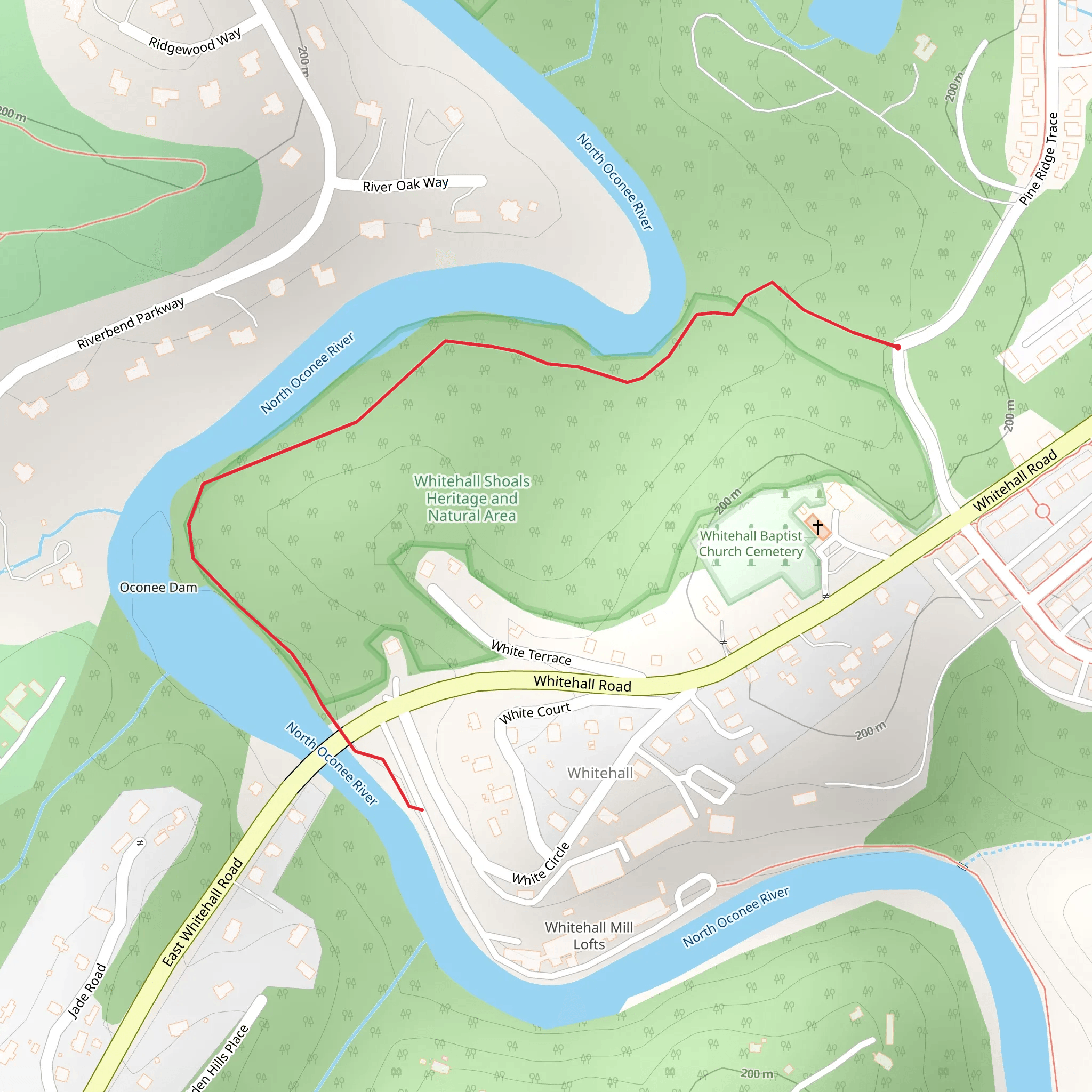
Starting near Clarke County, Georgia, the Whitehall Shoals Natural Area trail is an inviting 2 km (1.24 miles) out-and-back hike with no significant elevation gain, making it accessible for a wide range of hikers. The trailhead is conveniently located near the intersection of Whitehall Road and South Milledge Avenue, easily reachable by car. For those using public transport, the nearest bus stop is at the University of Georgia's South Milledge Avenue, from where it's a short walk to the trailhead.
Trail Overview
As you begin your hike, you'll find yourself immersed in a lush, wooded area that offers a serene escape from the hustle and bustle of nearby Athens. The trail is well-marked and maintained, making navigation straightforward. For added assurance, consider using the HiiKER app to keep track of your progress and ensure you stay on course.
Flora and Fauna
The Whitehall Shoals Natural Area is rich in biodiversity. Expect to see a variety of native plants, including oak, hickory, and pine trees. In the spring and summer months, the trail is adorned with wildflowers such as trillium and bloodroot. Birdwatchers will be delighted by the presence of species like the red-tailed hawk, Carolina wren, and northern cardinal. Keep an eye out for small mammals like squirrels and chipmunks, which are commonly seen scurrying about.
Significant Landmarks
Approximately 0.5 km (0.31 miles) into the hike, you'll come across the remnants of the historic Whitehall Mill. This mill played a significant role in the local economy during the 19th century, primarily producing textiles. The ruins offer a glimpse into the area's industrial past and provide a picturesque spot for a brief rest or photo opportunity.
River Views
As you continue along the trail, you'll parallel the Middle Oconee River for a significant portion of the hike. The river's gentle flow and the sound of water create a calming atmosphere. There are several spots where you can step off the trail and get closer to the riverbank, perfect for a quiet moment of reflection or a quick snack break.
Trail Conditions and Safety
The trail is generally flat and easy to navigate, but it can become muddy after rain, so waterproof hiking boots are recommended. While the trail is rated as medium difficulty, this is primarily due to its length and some uneven terrain rather than steep inclines. Always carry a basic first aid kit and plenty of water, especially during the warmer months.
Getting There
If you're driving, parking is available near the trailhead at the intersection of Whitehall Road and South Milledge Avenue. For those relying on public transport, the University of Georgia's South Milledge Avenue bus stop is the closest, and from there, it's a short walk to the trailhead. Using HiiKER can help you pinpoint the exact starting location and guide you through the initial steps of your hike.
Historical Significance
The Whitehall Shoals area is steeped in history. The Whitehall Mill, whose ruins you will encounter, was established in the early 1800s and was one of the first textile mills in the region. It played a crucial role during the Civil War, supplying materials to the Confederate army. Exploring this area offers not just a natural retreat but also a journey through time, providing a deeper appreciation of the region's historical context.
Embark on this trail prepared with the essentials, and you'll find it to be a rewarding experience both for its natural beauty and its historical intrigue.
What to expect?
Activity types
Comments and Reviews
User comments, reviews and discussions about the Whitehall Shoals Natural Area, Georgia.
4.45
average rating out of 5
42 rating(s)
