Download
Preview
Add to list
More
117.0 km
~7 days
3864 m
Multi-Day
“Embark on the GR 68, a scenic and historical trek through the heart of southern France's Cévennes.”
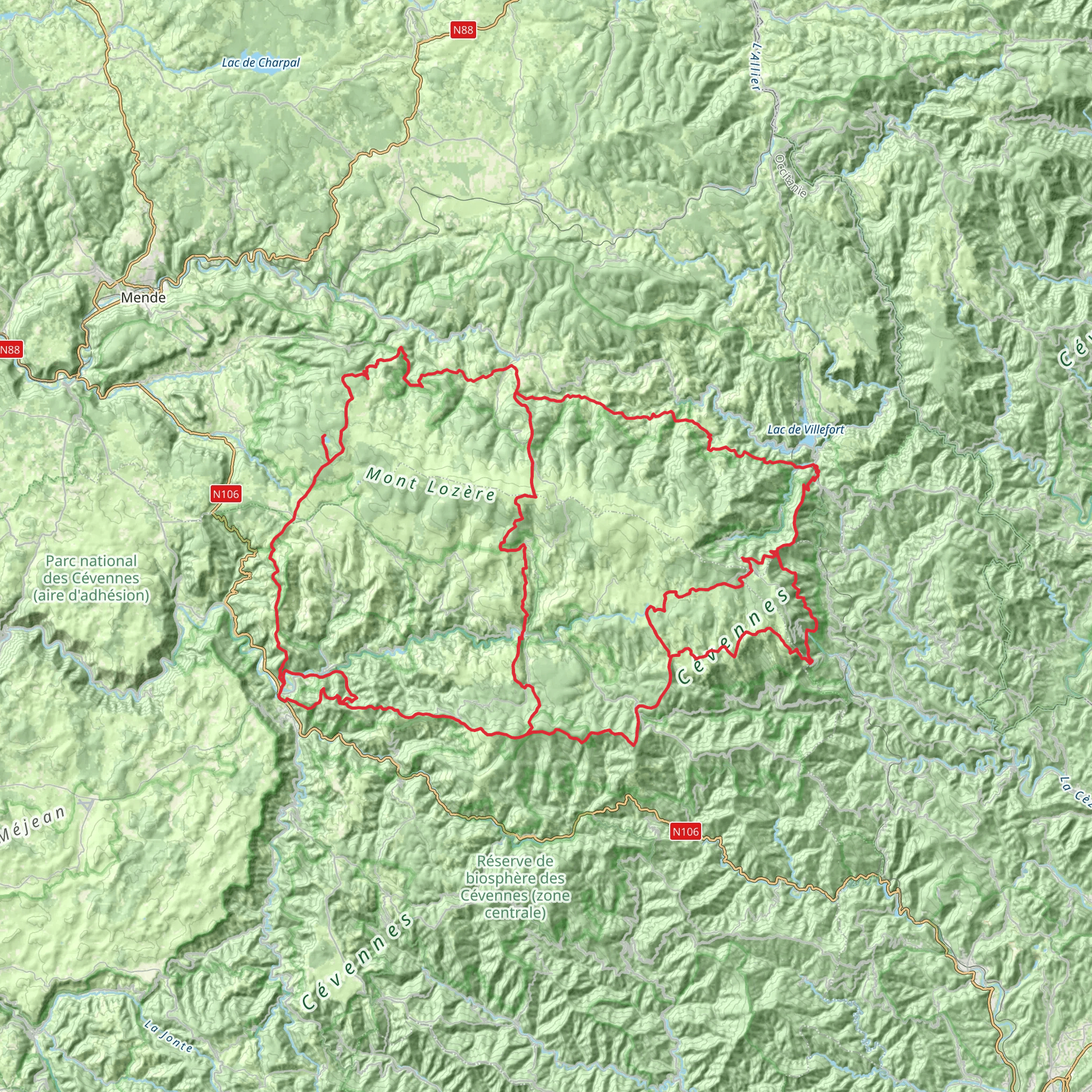
The GR 68, also known as the Tour of the Cévennes, is a captivating journey through the diverse landscapes of southern France. This point-to-point trail spans approximately 117 kilometers (about 73 miles) and navigates an elevation gain of roughly 3800 meters (approximately 12,467 feet), offering a medium difficulty level that is suitable for hikers with some experience.
Getting to the Trailhead
The trailhead for the GR 68 is located near the quaint town of Villefort, which is accessible by both public transport and car. For those opting for public transportation, the nearest train station is in Villefort itself, with regular services connecting to larger cities such as Nîmes and Clermont-Ferrand. From the station, the trailhead is just a short walk away. If driving, Villefort is reachable via the D906 road, and parking is available in the town.
Navigating the Trail
Hikers can rely on the HiiKER app for detailed maps and navigation assistance throughout their journey on the GR 68. The trail is well-marked with the characteristic red and white stripes of Grande Randonnée routes, guiding adventurers through the Cévennes National Park's varied terrain, which includes chestnut groves, granite peaks, and rolling hills.
Landmarks and Natural Beauty
The GR 68 takes hikers through the heart of the Cévennes, a region with a rich tapestry of natural and historical significance. One of the early highlights is the ascent to Mont Lozère, which stands as the highest peak in the Cévennes and offers panoramic views of the surrounding area. The trail then meanders through the picturesque Tarn River Valley, where hikers can marvel at the steep gorges and crystal-clear waters.
Flora and Fauna
The Cévennes is renowned for its biodiversity. Hikers may encounter a variety of wildlife, including the elusive European otter and a myriad of bird species such as the griffon vulture. The trail also passes through areas of lush vegetation, including the UNESCO-listed Causses and Cévennes, where the unique agro-pastoral cultural landscape can be observed.
Historical Significance
The region is steeped in history, with the GR 68 crossing paths with ancient Roman roads and passing by several historic sites, such as the 12th-century Château de Castanet and the ruins of the Château de Portes, known as the 'Ship of the Cévennes' due to its distinctive shape. The trail also traverses parts of the Camisards' history, where Protestant rebels once fought during the War of the Camisards in the early 18th century.
Preparation and Planning
Hikers should prepare for variable weather conditions and carry appropriate gear for both warm and cooler temperatures. Water sources are available along the route, but carrying a water filter is advisable. Accommodations range from campsites to gîtes (guesthouses), and it's recommended to book these in advance, especially during the peak season.
Conclusion
The GR 68 is a trail that offers a rich blend of natural beauty, wildlife, and historical intrigue. With careful planning and a spirit of adventure, hikers will find this route to be a rewarding experience that encapsulates the essence of the French wilderness.
Comments and Reviews
User comments, reviews and discussions about the GR 68, France.
5.0
average rating out of 5
4 rating(s)

