Download
Preview
Add to list
More
250.3 km
~14 days
4356 m
Multi-Day
“Trek the GR 700 to traverse French history, from Mediterranean flatlands to Massif Central peaks.”
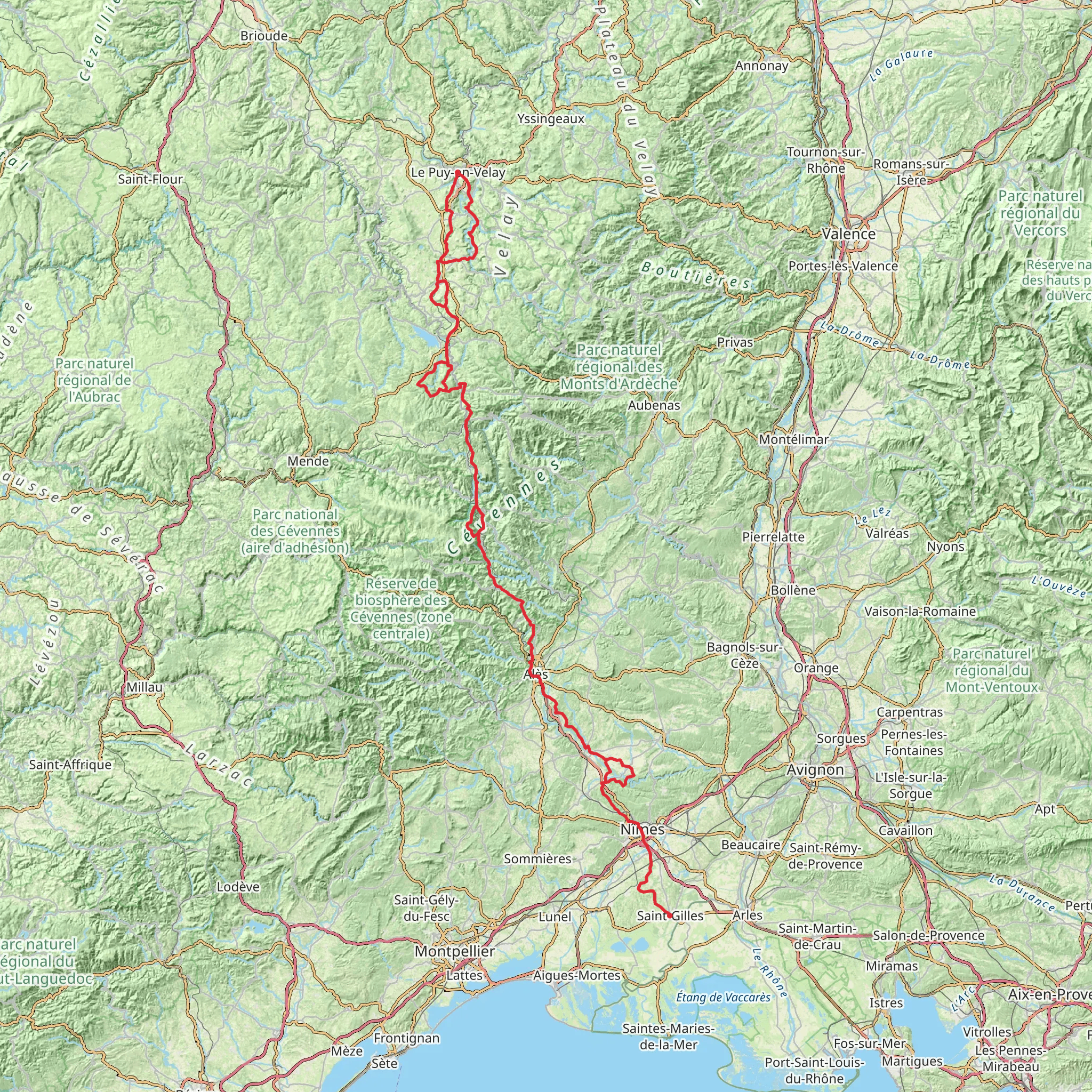
The GR 700, also known as the Regordane Way, is a historic trail that takes you through the heart of the French countryside, from the flatlands near the Mediterranean to the rugged terrain of the Massif Central. This approximately 250 km (155 miles) route, with an elevation gain of around 4300 meters (14,107 feet), begins near the town of Saint-Gilles and ends in the picturesque village of Le Puy-en-Velay.
Getting to the Trailhead
To start your journey on the GR 700, you can reach Saint-Gilles by public transport or car. The nearest major city with an airport is Nîmes, from which you can take a bus or train to Saint-Gilles. If you're driving, Saint-Gilles is accessible via the A54 motorway, which connects to the main European routes.
Historical Significance
The Regordane Way is steeped in history, having been a major medieval pilgrimage and trade route. As you walk, you'll tread paths once used by crusaders, traders, and pilgrims. The trail is dotted with historical landmarks, including ancient abbeys, castles, and bridges, which offer a glimpse into the past.
Trail Experience
The trail begins in the flatlands near Saint-Gilles, where the landscape is dominated by vineyards and orchards. As you progress, the terrain becomes more varied, with chestnut groves and heather-covered hills. The path leads through traditional villages and towns, where you can experience local culture and cuisine.
Landmarks and Nature
One of the first significant landmarks you'll encounter is the Abbey of Saint-Gilles, a UNESCO World Heritage Site, known for its remarkable Romanesque façade. As you continue, the Château de Portes, a castle known as the 'ship of the Cévennes' due to its unique shape, is another highlight.
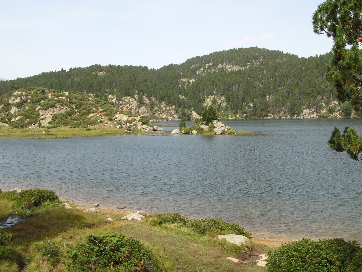
The trail offers a rich variety of landscapes, from the garrigue (Mediterranean scrubland) to the high plateaus of the Massif Central. Wildlife enthusiasts may spot a diverse array of birds, including birds of prey, as well as mammals like the European badger and red squirrel.
Elevation and Difficulty
While the overall difficulty of the GR 700 is rated as medium, it's important to prepare for sections with significant elevation changes. The ascent to the Mont Lozère, for example, is a challenging stretch that rewards hikers with panoramic views.
Navigation
For navigation, the HiiKER app is an invaluable tool for following the GR 700. It provides detailed maps and waypoints, ensuring you stay on the correct path and can locate essential amenities like water sources and shelters.
Preparation and Planning
Given the trail's length and varied terrain, it's crucial to plan your hike carefully. Ensure you have appropriate gear for both warm and cooler weather, as temperatures can fluctuate, especially at higher elevations. It's also wise to book accommodations in advance, particularly in the smaller villages where options may be limited.
Conclusion
Embarking on the GR 700 - Regordane Way is not just a hike; it's a journey through time, nature, and the soul of southern France. With careful preparation and a spirit of adventure, this trail offers a deeply rewarding experience for those seeking to explore the rich tapestry of French history and landscape.
Comments and Reviews
User comments, reviews and discussions about the GR 700 - Regordane Way, France.
4.0
average rating out of 5
4 rating(s)

