Download
Preview
Add to list
More
771.8 km
~30 days
11267 m
Multi-Day
“Trek the GR 65 Rocamadour Variant for a historic pilgrimage through France's breathtaking landscapes and heritage.”
Embarking on the GR 65 Rocamadour Variant, hikers will traverse approximately 480 miles (772 kilometers) of varied landscapes, with an elevation gain of roughly 36,745 feet (11,200 meters). This point-to-point trail, which begins near the historical town of Le Puy-en-Velay in France, is a lesser-known detour of the famed Camino de Santiago pilgrimage route.
Getting to the Trailhead
To reach the starting point near Le Puy-en-Velay, travelers can fly into the nearest major airport, Lyon-Saint Exupéry Airport, and then take a train or bus to Le Puy-en-Velay. If driving, the town is accessible via the A75 motorway. Upon arrival, the trailhead is easily located, marked by the traditional signs of the GR (Grande Randonnée) paths.
Trail Overview
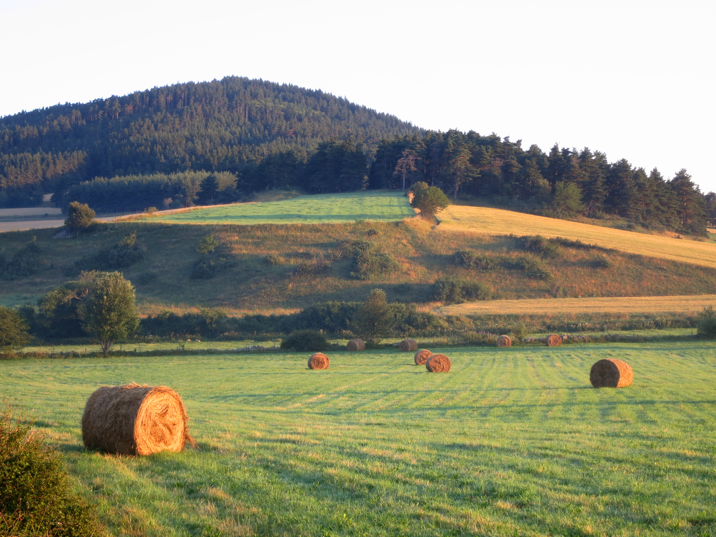
The GR 65 Rocamadour Variant offers a medium difficulty rating, making it accessible to hikers with a moderate level of experience. The path winds through the Massif Central, a region rich in volcanic landscapes, and continues through the Lot Valley, known for its tranquil rivers and limestone cliffs.
Historical Significance
This trail is steeped in history, as Rocamadour has been a pilgrimage destination since the Middle Ages. The town itself clings to the side of a cliff and is a marvel to behold, with the Chapelle Notre-Dame holding the venerated Black Madonna. Hikers will encounter numerous chapels, crosses, and historical markers that tell the story of centuries of pilgrims who have walked this path.
Landmarks and Nature
The route passes through the picturesque villages of Estaing and Conques, both classified as "Les Plus Beaux Villages de France" (The Most Beautiful Villages of France). Conques is particularly renowned for its abbey church with stunning tympanum and treasury of gold reliquaries.
As hikers progress, they will traverse the Causses du Quercy Regional Natural Park, a UNESCO Global Geopark, where they can marvel at the karstic plateaus and spot protected species such as the Bonelli's eagle and the European otter.
Wildlife and Flora
The trail offers the chance to observe a diverse range of wildlife, including birds of prey, deer, and wild boar. The flora is equally varied, with the changing seasons bringing different blooms, from wild orchids to the vibrant yellow gorse.
Navigation and Preparation
Hikers should prepare for the journey by packing appropriate gear for variable weather conditions and ensuring they have reliable navigation tools. HiiKER is an excellent resource for trail maps and planning, offering detailed information on the route, waypoints, and essential stops.
Accommodation and Resupply
Along the GR 65 Rocamadour Variant, there are numerous gîtes, bed and breakfasts, and small hotels that cater to hikers. It's advisable to book accommodation in advance, especially during the peak pilgrimage season. Resupply points are available in the larger towns, where hikers can stock up on food and other necessities.
Conclusion
The GR 65 Rocamadour Variant is a journey through both natural beauty and historical depth. It offers a unique opportunity to follow in the footsteps of pilgrims while enjoying the serene landscapes and rich cultural heritage of this part of France. With careful planning and a spirit of adventure, hikers will find this trail to be a rewarding experience.

Comments and Reviews
User comments, reviews and discussions about the GR 65 Rocamadour Variant, France.
4.5
average rating out of 5
6 rating(s)