Download
Preview
Add to list
More
149.1 km
~11 days
6272 m
Multi-Day
“Embark on a majestic Alpine odyssey, merging natural splendor, historical echoes, and rugged trails across the French Vanoise.”
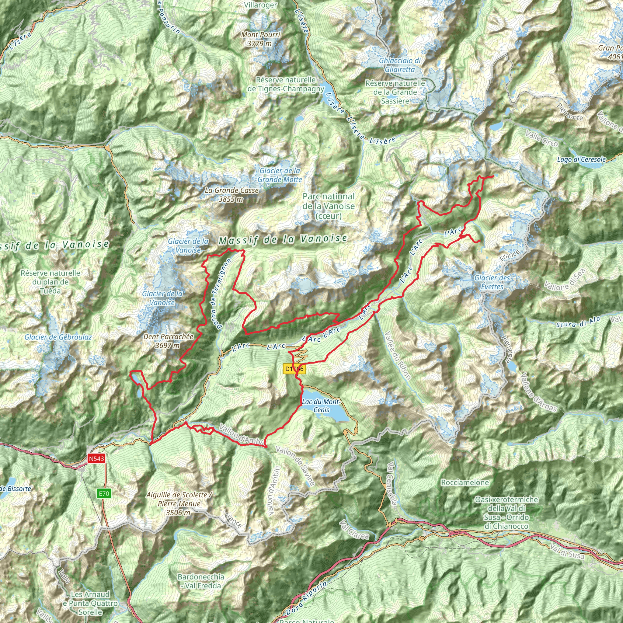
Embarking on the Tour de Haute Maurienne Vanoise is a journey through the heart of the French Alps, offering a blend of breathtaking landscapes, challenging terrain, and a deep sense of the historical tapestry woven into the region. This approximately 149 km (about 93 miles) loop trail, with an elevation gain of around 6200 meters (approximately 20,341 feet), is a formidable adventure that begins near the town of Lanslebourg-Mont-Cenis, France.
Getting to the Trailhead
To reach the starting point of the Tour de Haute Maurienne Vanoise, hikers can drive to Lanslebourg-Mont-Cenis, which is accessible via the A43 motorway. For those opting for public transport, regular bus services connect nearby cities such as Chambéry or Turin to Lanslebourg-Mont-Cenis, especially during the hiking season.
Navigating the Trail
Hikers can rely on the HiiKER app for detailed navigation throughout the trail, ensuring they stay on the correct path and can plan their stops accordingly. The app provides real-time GPS tracking and offline maps, which are essential in the remote alpine environment where cell service may be unreliable.
Trail Experience
The trail meanders through the Vanoise National Park, France's first national park, which is a sanctuary for alpine flora and fauna. Hikers can expect to encounter a variety of wildlife, including ibex, chamois, and marmots, as well as a rich diversity of birds. The park is also home to an array of wildflowers, particularly in the spring and early summer.
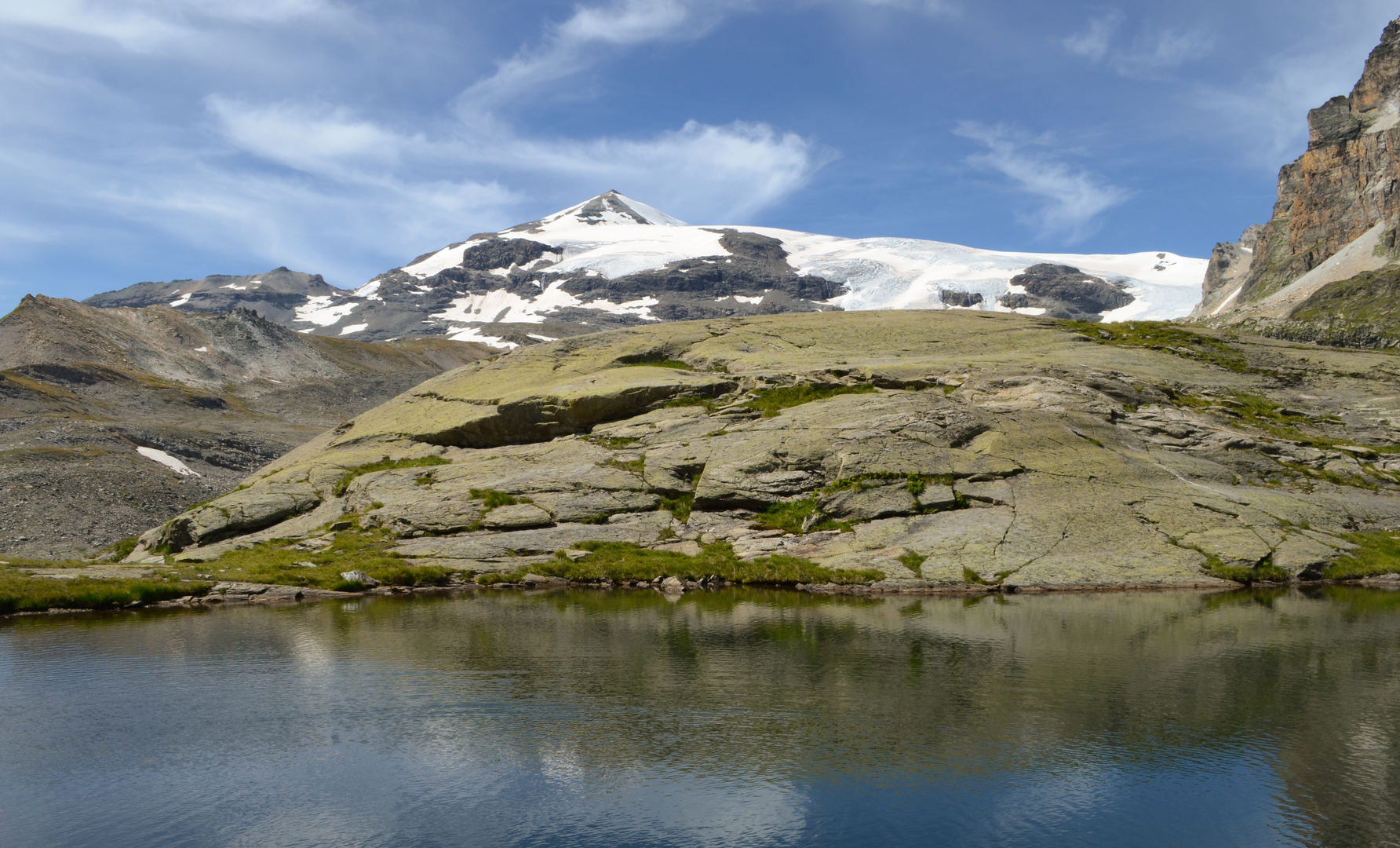
As the trail ascends, the landscape unfolds with dramatic mountain vistas, pristine lakes, and glaciers that have shaped the valley over millennia. The trail passes through several high mountain passes, each offering unique panoramic views and challenges. The Col de l'Iseran, for example, is one of the highest mountain passes in the Alps and is a significant milestone on the route.
Cultural and Historical Significance
The Haute Maurienne Vanoise region is steeped in history, with the trail often crossing paths with remnants of the past. The area was once a strategic military route, and hikers will come across forts and bunkers dating back to World War II and earlier. The trail also winds through traditional alpine villages where hikers can experience the local Savoyard culture and cuisine.
Planning Your Hike
Given the trail's difficulty rating and the demanding alpine environment, it is recommended that hikers prepare thoroughly. The journey typically takes around 9 to 11 days to complete, depending on pace and experience. It is essential to pack appropriately for variable weather conditions and to be prepared for steep ascents and descents. Accommodations along the trail range from mountain huts to guesthouses, allowing for a comfortable rest between stages of the hike.
Safety Considerations
Due to the high elevation and remote nature of the trail, it is crucial to be aware of the symptoms of altitude sickness and to take necessary precautions. Hikers should also be prepared for sudden weather changes and carry a comprehensive first-aid kit.
In conclusion, the Tour de Haute Maurienne Vanoise is a trail that promises an unforgettable adventure for seasoned hikers. With its stunning alpine scenery, rich biodiversity, and historical landmarks, it is a journey that encapsulates the essence of the French Alps.
Comments and Reviews
User comments, reviews and discussions about the Tour de Haute Maurienne Vanoise, France.
4.9
average rating out of 5
10 rating(s)

