Download
Preview
Add to list
More
44.7 km
~4 days
3375 m
Multi-Day
“Embark on a breathtaking Alpine adventure through the challenging Tour De A Font Sancte, brimming with natural wonders and historical intrigue.”
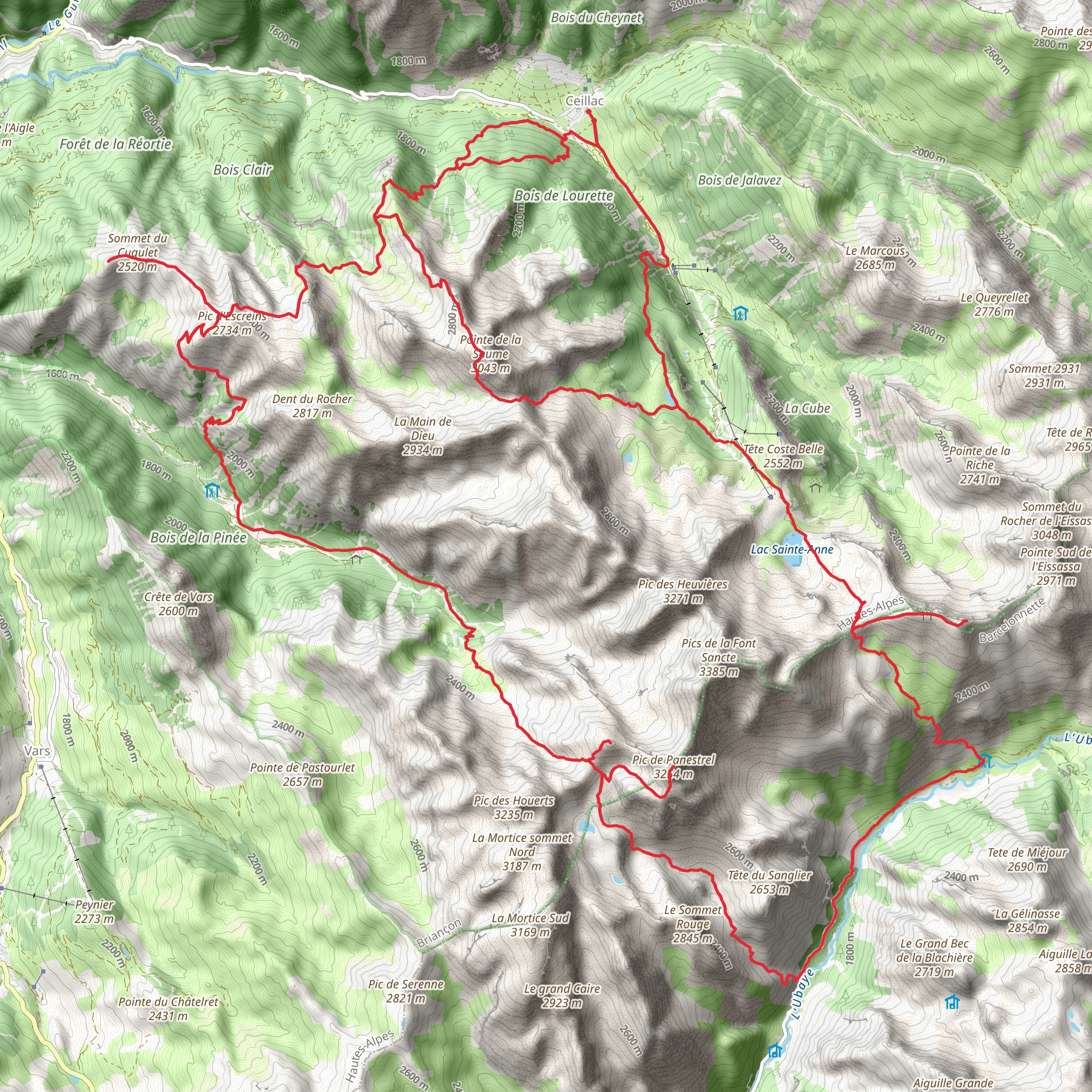
Embarking on the Tour De A Font Sancte, hikers will traverse a challenging loop of approximately 45 kilometers (28 miles) with an elevation gain of around 3300 meters (10,827 feet). This trail, nestled near Guillestre in the French Alps, is not for the faint of heart, demanding a high level of fitness and experience in mountain hiking.
Getting to the Trailhead
The journey begins near the quaint town of Guillestre, which is accessible by car or public transportation. If driving, take the D902 road towards the Queyras Valley, and you'll find parking areas designated for hikers near the trailhead. For those preferring public transport, regular buses from the nearby larger towns and cities, such as Briançon or Gap, can drop you off in Guillestre. From there, local taxis or sometimes seasonal shuttle services can take you to the starting point of the hike.
Navigating the Trail
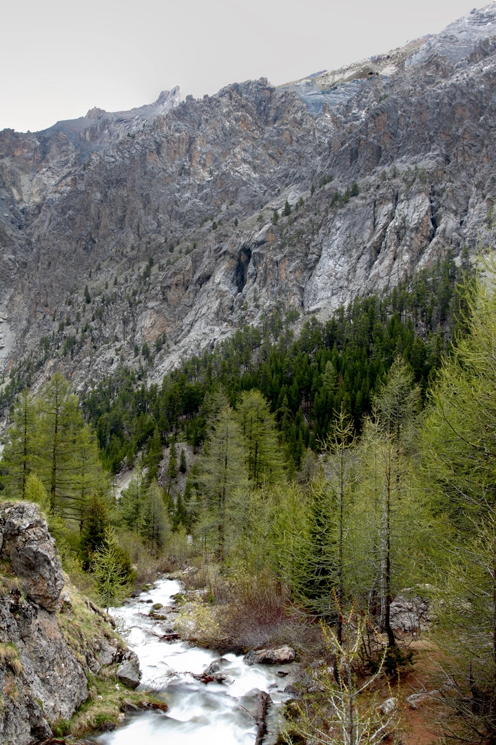
As you set out, the initial section of the trail is a gradual ascent through lush alpine forests, with the sound of the Guil River accompanying your steps. The path then steepens as you approach the first significant elevation gain, leading to breathtaking views of the Ecrins National Park. Hikers should use the HiiKER app for detailed navigation, ensuring they stay on the correct path and are aware of upcoming changes in terrain.
Landmarks and Natural Beauty
The trail boasts a variety of landmarks, including the impressive Aiguilles de Chambeyron, towering rock formations that are a highlight of the region. As you ascend further, the vegetation thins, and the landscape opens up to reveal alpine meadows dotted with wildflowers in the spring and summer months.
Wildlife is abundant, with chances to spot marmots, chamois, and even golden eagles soaring above. The trail also passes by serene mountain lakes, offering a perfect spot for a rest and to take in the tranquility of the high alps.
Historical Significance
The region is steeped in history, with the trail passing through areas that have been significant since the Middle Ages. The Queyras Valley was once a vital trade route, and remnants of old forts and structures can be seen along the way, hinting at the area's strategic importance.
Challenges and Precautions
The most challenging part of the hike is the ascent to the Font Sancte itself, which is the highest point of the trail. This section requires careful footing and an awareness of weather conditions, as it can be treacherous in poor weather.
Hikers should be well-prepared with appropriate gear, including sturdy hiking boots, weather-appropriate clothing, and enough food and water for the duration of the hike. It's also wise to carry a first-aid kit, a map, and a compass or GPS device, although the HiiKER app should suffice for navigation.
Given the length and difficulty of the trail, it's recommended to tackle this hike over two or more days, with overnight stays in mountain huts or camping where permitted. This allows for a more leisurely pace to fully enjoy the natural beauty and ensures safety, especially for those less accustomed to high-altitude hiking.
Conclusion
In conclusion, the Tour De A Font Sancte is a demanding yet rewarding hike that offers a glimpse into the wild heart of the French Alps. With careful planning and respect for the mountain environment, hikers can enjoy a truly unforgettable experience.
Comments and Reviews
User comments, reviews and discussions about the Tour De A Font Sancte, France.
5.0
average rating out of 5
2 rating(s)

