Download
Preview
Add to list
More
862.6 km
~34 days
9546 m
Multi-Day
“Embark on the GR 2, a scenic trek winding through France's historical tapestry and natural splendor along the Seine.”
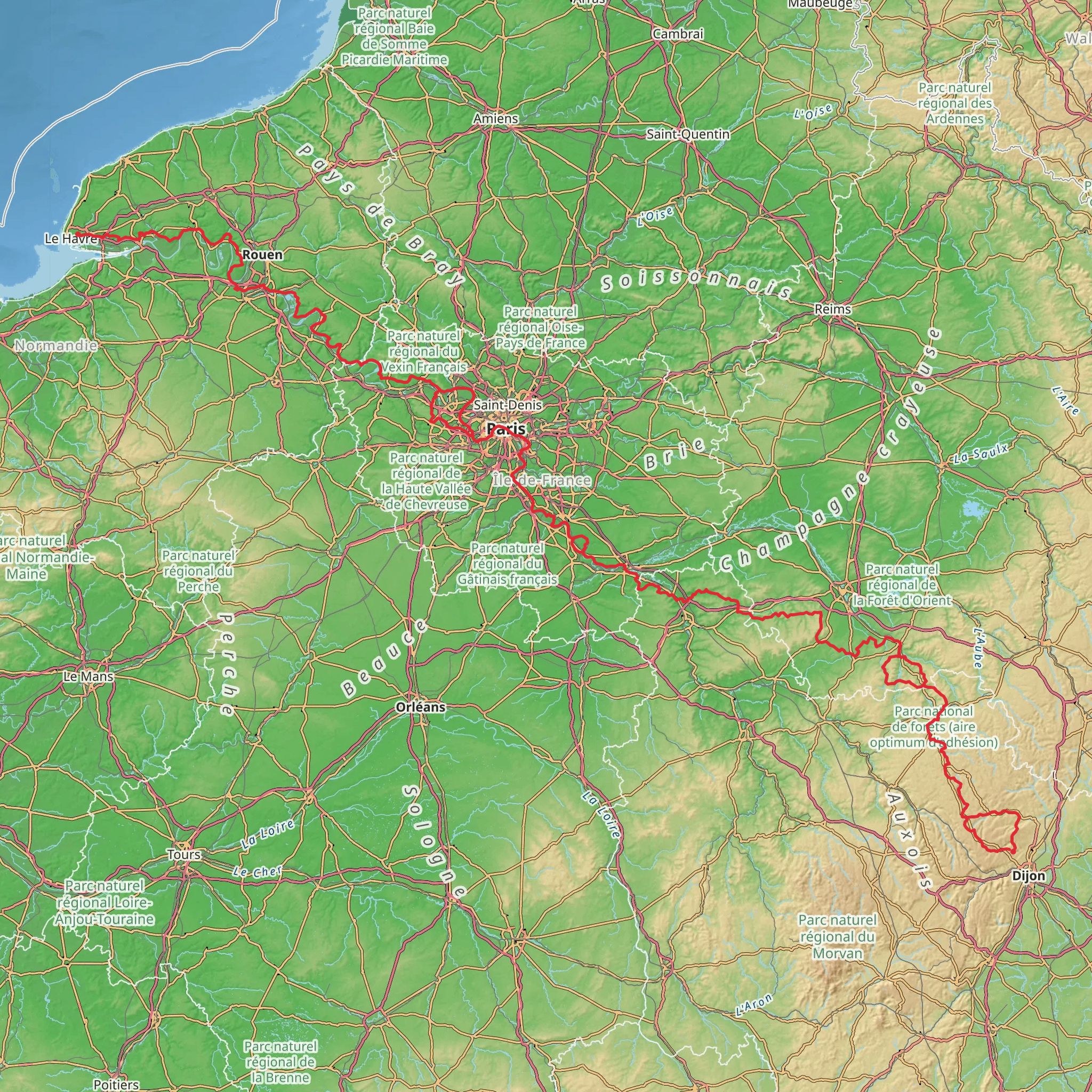
The GR 2 - Sentier de la Seine is a long-distance hiking trail that offers an immersive journey through the heart of France, following the meandering path of the Seine River from its source near Dijon to the coastal estuary at Le Havre. Spanning approximately 863 kilometers (536 miles) and with an elevation gain of around 9500 meters (31,168 feet), this trail is a medium-difficulty trek that provides a unique blend of natural beauty, cultural heritage, and historical significance.
Getting to the Trailhead
The trailhead is located near Dijon, a city well-connected by public transport. Hikers can take a train to Dijon from major French cities like Paris or Lyon. Upon arriving in Dijon, local buses or taxis can be used to reach the starting point of the trail. For those driving, parking is available in the vicinity of the trailhead.
Journey Through History and Nature
As you set out from the trailhead near Dijon, the early stages of the hike take you through the rolling hills and vineyards of Burgundy, a region renowned for its fine wines and gastronomy. The trail meanders through picturesque villages and past ancient chateaux, offering glimpses into France's rich history.
Continuing downstream, the trail passes through the town of Fontainebleau, where the famous Château de Fontainebleau stands as a testament to French history, having been a sovereign residence for eight centuries. The surrounding forest of Fontainebleau is a hiker's delight, with its unique sandstone formations and diverse wildlife.
The Seine and Its Surroundings
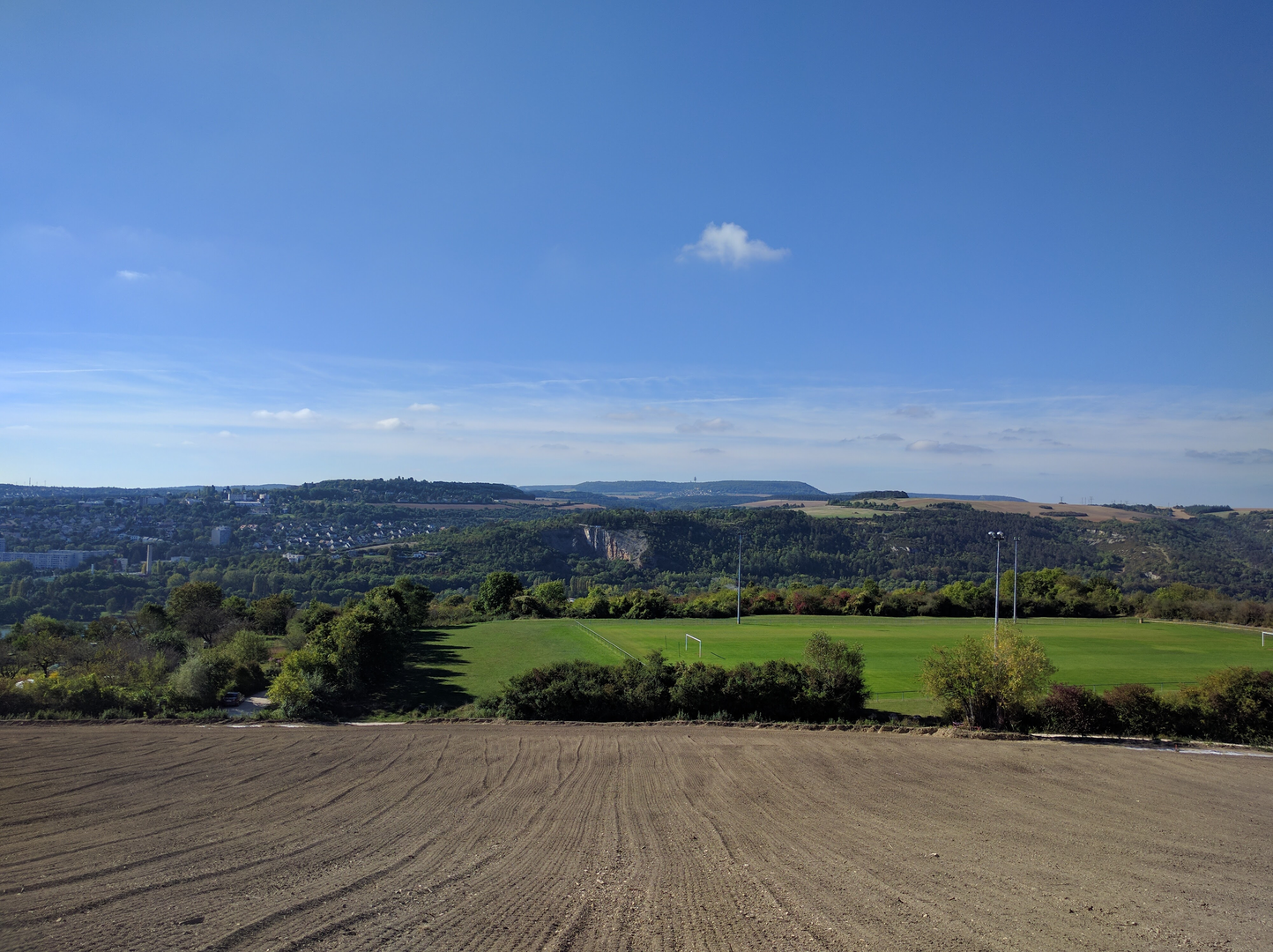
Following the river's course, the GR 2 leads hikers through a variety of landscapes, from serene riverbanks to rugged cliffs. Birdwatchers will appreciate the sections near the river, where kingfishers and herons are commonly sighted. The trail also offers panoramic views of the Seine Valley, with its lush meadows and quiet hamlets.
As the trail approaches the region of Normandy, the architecture and culture shift, reflecting the area's distinct historical background. Normandy is known for its role in World War II, and the trail passes near several sites of significance, such as the historic city of Rouen, with its Gothic cathedral and medieval quarter.
Challenges and Navigation
While the overall difficulty of the GR 2 is rated as medium, hikers should be prepared for some challenging sections, particularly where the trail ascends the limestone cliffs overlooking the Seine. The elevation gain is gradual but can be taxing over long distances.
Navigation along the GR 2 is facilitated by the use of the HiiKER app, which provides detailed maps and waypoints to ensure hikers stay on the correct path. It is advisable to download the necessary maps for offline use, as some sections of the trail may have limited cellular reception.
Preparation and Logistics
Given the length of the GR 2, hikers should plan for multiple days of trekking and consider the logistics of accommodation and resupply. The trail passes through numerous towns and villages where hikers can find guesthouses, hotels, and campsites. It is also possible to purchase food and other supplies along the way.
To fully enjoy the GR 2, hikers should carry a reliable pair of walking boots, a backpack with essential gear, and clothing suitable for variable weather conditions. It is also recommended to carry a water filtration system, as there are many natural water sources along the route.
The GR 2 - Sentier de la Seine is more than just a hiking trail; it is a journey through the heart of French culture and history, offering a rich tapestry of experiences for those who traverse its path. Whether you are drawn to the natural beauty of the Seine Valley, the charm of rural France, or the echoes of the past, this trail promises an unforgettable adventure.
Comments and Reviews
User comments, reviews and discussions about the GR 2 - Sentier de la Seine, France.
4.75
average rating out of 5
8 rating(s)

