Download
Preview
Add to list
More
785.4 km
~42 days
10268 m
Multi-Day
“Embark on a historic 785-kilometer trek through France's diverse landscapes, medieval villages, and natural wonders on the challenging Via Tolosana.”
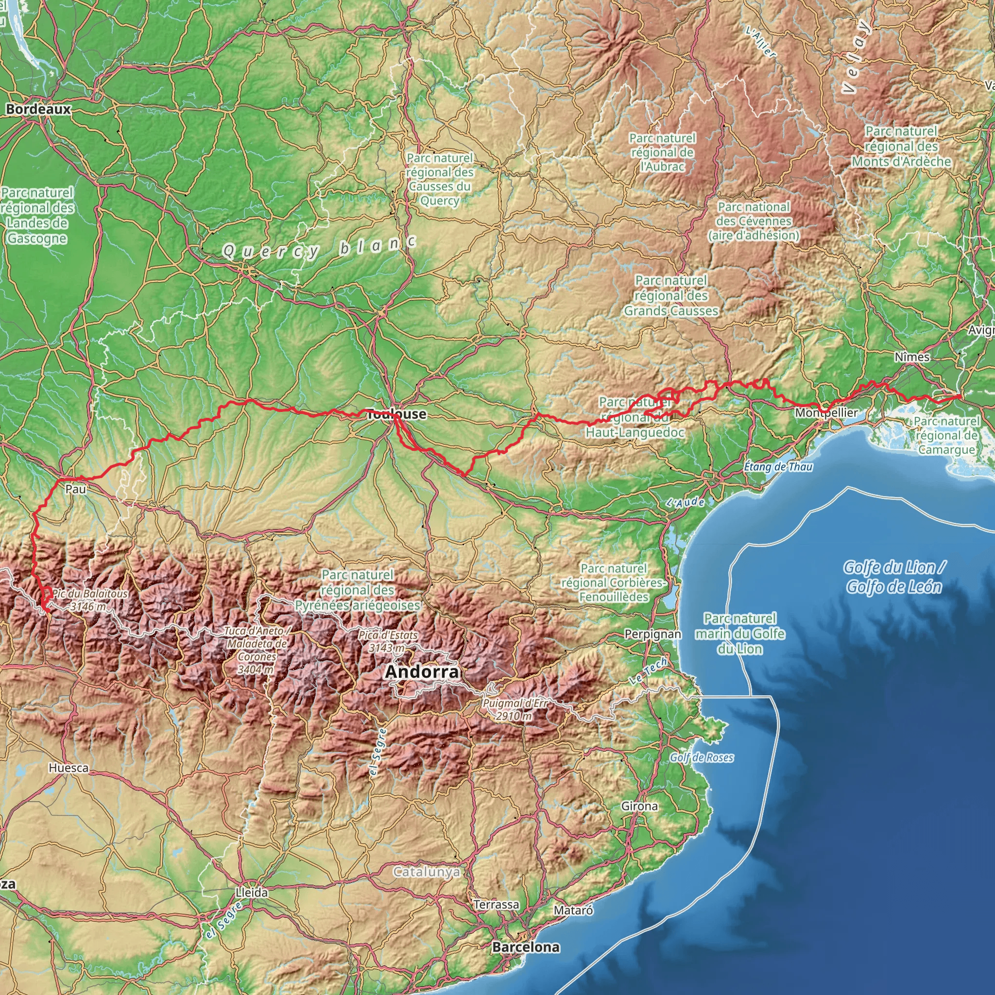
Embarking on the Via Tolosana, you'll traverse approximately 785 kilometers (about 488 miles) of diverse landscapes, starting near the ancient city of Arles, France. This historic route, also known as the Arles Way, is one of the four main paths in France leading to Santiago de Compostela in Spain. With an elevation gain of roughly 10,200 meters (about 33,465 feet), the trail is considered difficult and requires a good level of fitness and preparation.
Getting to the Trailhead
To reach the starting point of the Via Tolosana, you can fly into Marseille Provence Airport and take a train or bus to Arles. If you're driving, Arles is well-connected by the A54 and A7 motorways. Public parking is available in the city, and from there, the trailhead is easily accessible.
The Journey Through Southern France
Setting out from Arles, a city rich in Roman history, you'll pass through the Camargue region, known for its unique wetlands, white horses, and pink flamingos. The trail meanders through the picturesque landscapes of Languedoc and the Midi-Pyrenees, offering a tapestry of vineyards, sunflower fields, and medieval villages.
Cultural and Historical Landmarks
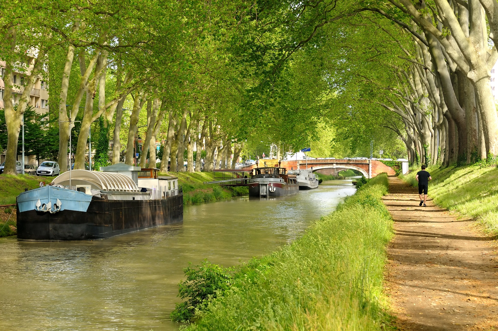
As you hike, you'll encounter numerous cultural and historical landmarks. The UNESCO World Heritage Sites of the Canal du Midi and the fortified city of Carcassonne are highlights, offering a glimpse into the region's past. The trail also takes you through the ancient town of Toulouse, known for its vibrant cityscape and historic architecture.
Natural Wonders and Wildlife
The Via Tolosana is not only a journey through history but also an exploration of natural beauty. The path crosses the serene landscapes of the Haut Languedoc Regional Natural Park, where hikers can witness the diverse flora and fauna of the French countryside. Keep an eye out for birds of prey soaring above and the occasional deer darting through the forests.
Challenges and Navigation
The trail's difficulty lies not only in its distance but also in the varied terrain, which includes steep ascents and descents. It's essential to be well-prepared with appropriate gear and to have a reliable navigation tool like HiiKER to stay on track. Regular waymarking and trail signs will guide you, but having a digital tool can be invaluable, especially in remote areas.
Accommodation and Resupply Points
Throughout the Via Tolosana, there are numerous gîtes, hostels, and small hotels that cater to hikers. Resupply points are available in the towns and villages along the route, allowing you to stock up on food and other necessities. It's advisable to plan your stops in advance, especially during the peak season, to ensure availability.
Seasonal Considerations
The best time to hike the Via Tolosana is from late spring to early fall when the weather is more favorable. Summer can be hot, so carrying sufficient water and sun protection is crucial. In the shoulder seasons, the trail is less crowded, and the temperatures are milder, making for a pleasant hiking experience.
Preparation and Safety
Before setting out on the Via Tolosana, ensure you're physically prepared for the long-distance hike and have all the necessary equipment. It's also wise to familiarize yourself with the local customs and language, as this will enhance your experience and interactions with locals along the way.
Remember, the Via Tolosana is not just a physical journey but a voyage through the heart of southern France's rich history and stunning landscapes. With careful planning and respect for the trail, it promises to be an unforgettable adventure.
Comments and Reviews
User comments, reviews and discussions about the Via Tolosana, France.
4.33
average rating out of 5
6 rating(s)

