Download
3D Flyover
Add to list
More
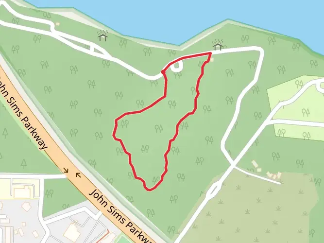
66.7 km
~3 days
377 m
Multi-Day
“Embark on the Eglin East trail for a captivating hike through Florida's diverse landscapes and military heritage.”
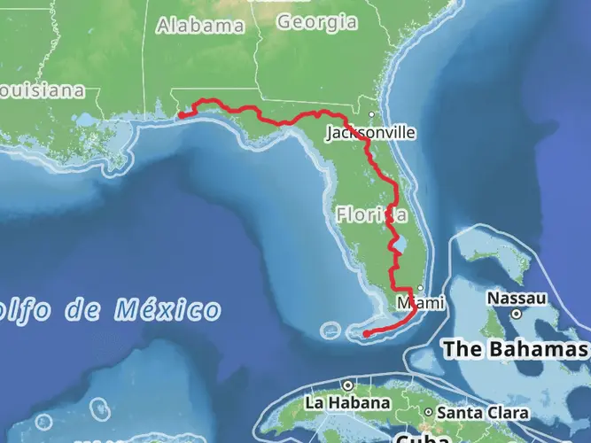
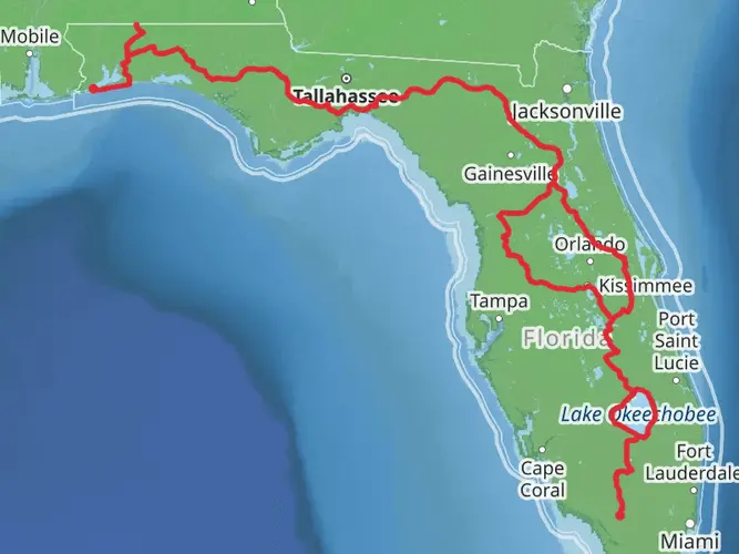
The Florida National Scenic Trail - Eglin East section offers a unique blend of natural beauty and military history, winding through the expansive Eglin Air Force Base reservation. This approximately 67 km (about 42 miles) point-to-point trail begins near Walton County, Florida, and provides hikers with a moderately challenging trek through diverse ecosystems.
Getting to the Trailhead To start your journey on the Eglin East section of the Florida National Scenic Trail, you can reach the trailhead by car. It is located near the city of Niceville, Florida. If you're coming from out of town, the closest major airport is in Pensacola. From there, you can rent a car and drive to the trailhead, which is about an hour and a half away. There is no direct public transportation to the trailhead, so a personal vehicle or a taxi service is your best bet.
Trail Experience As you embark on the trail, you'll be greeted by the flat to gently rolling terrain typical of the Florida Panhandle, with an elevation gain of around 300 meters (approximately 984 feet) throughout the entire stretch. The trail is well-marked, but carrying a reliable navigation tool like HiiKER is recommended to stay on track, especially since some sections may be less traveled and overgrown.
Natural Beauty and Wildlife The Eglin East section traverses a variety of landscapes, including longleaf pine forests, cypress swamps, and wiregrass prairies. These ecosystems are home to an array of wildlife, so keep an eye out for white-tailed deer, gopher tortoises, and a variety of bird species, including the red-cockaded woodpecker. The trail also crosses several streams and rivers, providing opportunities to spot amphibians and aquatic life.
Historical Significance The land you're hiking through is steeped in history. The Eglin Air Force Base plays a crucial role in the United States' military history, and while hiking, you may encounter remnants of old test sites and military exercises. It's important to respect all posted signs and boundaries due to ongoing military activities in the area.
Landmarks and Points of Interest Approximately 20 km (12 miles) into the hike, you'll reach the Titi Creek area, known for its picturesque creek crossings and the challenges they can present after heavy rains. Further along, around the 40 km (25 miles) mark, the trail skirts the edges of several beautiful lakes, offering serene spots for a rest or a picnic.
Preparation and Safety Before setting out, ensure you have a permit to access the military lands; this is mandatory for all hikers. The trail is open year-round, but the best times to hike are in the cooler months from October to April. Florida's heat and humidity can be intense, so carry plenty of water and wear appropriate sun protection. Also, be prepared for biting insects by bringing repellent.
Navigation and Trail Etiquette While on the trail, practice Leave No Trace principles to minimize your impact on the environment. Stick to the marked path, as wandering off can lead to dangerous unexploded ordnance areas. Always check the Eglin Air Force Base website for any trail closures or restrictions due to military exercises.
By following these guidelines and being prepared for the varying conditions, hikers can enjoy the unique combination of natural beauty and historical intrigue that the Florida National Scenic Trail - Eglin East section has to offer.

What to expect?
Activity types
Frequently asked questions
How long does it take to hike the Florida National Scenic Trail - Eglin East?
The Florida National Scenic Trail - Eglin East is 66.72 km, or about 41.5 miles, so most hikers treat it as a 2 to 4 day trip. Its easy rating and modest 377 m of total elevation gain make the pace more forgiving than many multi-day routes, but sandy stretches, heat, and water planning can still slow progress.
Is the Florida National Scenic Trail - Eglin East difficult?
Florida National Scenic Trail - Eglin East is rated easy, with 377 m of elevation gain spread across 66.72 km. The terrain in this part of the Florida Panhandle is generally flat to gently rolling rather than steep, so the main challenges are usually distance, sand, humidity, and exposed conditions instead of sustained climbing.
Do you need a permit for the Florida National Scenic Trail - Eglin East?
Yes. The Florida National Scenic Trail - Eglin East crosses the Eglin Air Force Base reservation, and public access on Eglin land requires the appropriate recreation or trail permit. Access rules can also change with military operations or land-management closures, so permit status and open areas need to be checked before starting.
Where do you park for the Florida National Scenic Trail - Eglin East?
Parking for the Florida National Scenic Trail - Eglin East is typically tied to Eglin Air Force Base access points and trail crossings rather than a single large public trailhead lot. Because this is a point-to-point 66.72 km route on military-managed land, hikers usually arrange a shuttle or vehicle drop and confirm which access areas are open before leaving a car.
Can dogs go on the Florida National Scenic Trail - Eglin East?
Dogs are allowed on parts of Eglin’s recreation lands, but the Florida National Scenic Trail - Eglin East runs through an active military reservation with management units that can have hunting activity, dog-training activity, or temporary access restrictions. That makes it important to confirm the current rules for the specific unit and keep dogs under control at all times.
Is the Florida National Scenic Trail - Eglin East good for a backpacking trip?
Yes. Florida National Scenic Trail - Eglin East is a multi-day point-to-point hike of 66.72 km, which fits well as a short backpacking section rather than a quick day hike. The easy grade helps, but the length means hikers still need to plan overnight logistics, water, transportation between trailheads, and any permit requirements for Eglin land.
What is the terrain like on the Florida National Scenic Trail - Eglin East?
The Florida National Scenic Trail - Eglin East passes through classic Florida Panhandle terrain, including longleaf pine forest, wet flatwoods, and swampy sections on generally low-relief ground. Even with only 377 m of total climbing, footing can vary between firm tread, soft sand, and wetter patches, so the route feels longer than the elevation profile suggests.
Comments and Reviews
User comments, reviews and discussions about the Florida National Scenic Trail - Eglin East, Florida.
4.67
average rating out of 5
12 rating(s)