Download
3D Flyover
Add to list
More
47.7 km
~2 days
2 m
Multi-Day
“Explore the Big Cypress South, where swamps, wildlife, and history create an accessible yet challenging trek.”
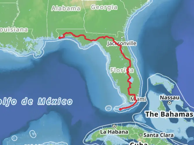
Embarking on the Florida National Scenic Trail - Big Cypress South section offers a unique immersion into the diverse ecosystems of the Sunshine State. This approximately 48-kilometer (30-mile) point-to-point trail is situated near Collier County, Florida, and is characterized by its flat terrain, with virtually no elevation gain, making it accessible to hikers of varying skill levels, though the terrain can be challenging.
Getting to the Trailhead
To reach the trailhead, you can drive to the Oasis Visitor Center, located on the Tamiami Trail (US 41), which serves as a common starting point for hikers. If you're relying on public transportation, options may be limited due to the remote nature of the area, so it's advisable to check local resources for the most current information.
Navigating the Trail
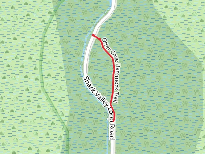
As you set out from the Oasis Visitor Center, you'll find yourself surrounded by the dense, swampy wilderness of the Big Cypress National Preserve. The trail is well-marked with orange blazes, but due to the often wet conditions, waterproof boots and gear are recommended. For navigation, HiiKER is a reliable tool to keep you on track and informed about your progress along the trail.
Landmarks and Ecosystems
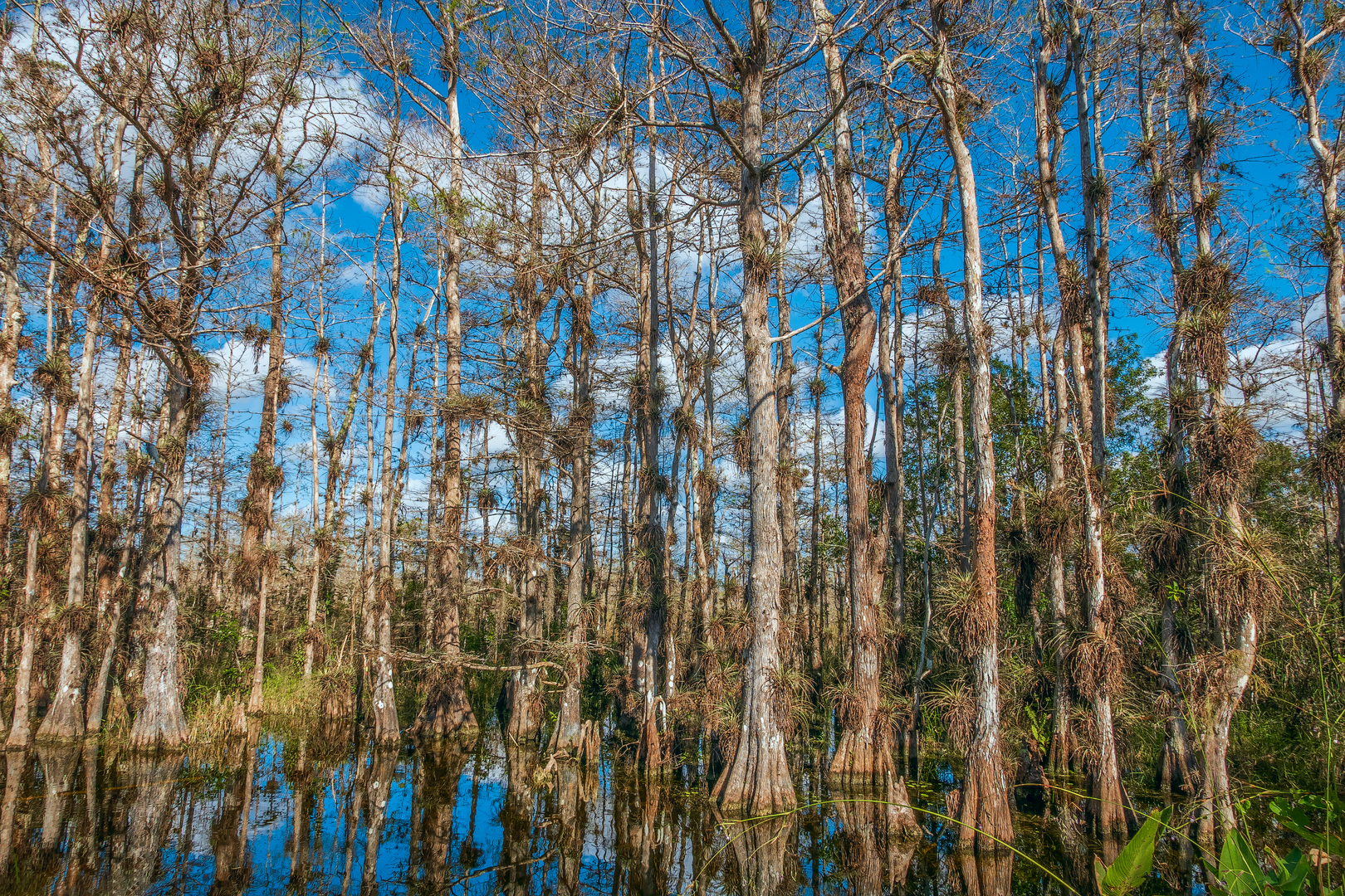
The Big Cypress South section of the Florida Trail is renowned for its remarkable landscapes, including cypress swamps, pine forests, and prairies. You'll traverse through the habitat of diverse wildlife such as alligators, Florida panthers, and a variety of bird species. Notable landmarks include the scenic Seven Mile Bridge, which offers expansive views of the surrounding wetlands.
Wildlife and Flora
As you make your way through the trail, keep an eye out for the American alligator basking on the banks of waterways or the elusive Florida panther that may cross your path. Birdwatchers will delight in the opportunity to spot wood storks, herons, and the vibrant roseate spoonbill among others.
Historical Significance
The region holds a rich history, with the Big Cypress Swamp playing a crucial role in the Seminole Wars and serving as a refuge for the Seminole Tribe during the 19th century. The trail itself is part of the larger Florida National Scenic Trail, which spans over 1,300 miles and was designated as a National Scenic Trail in 1983.
Preparation and Planning
Before setting out, ensure you have ample water and food supplies, as there are limited resources available along the trail. The wet environment also calls for insect repellent and possibly a mosquito net. Given the trail's length and the challenging conditions, it's wise to plan for a multi-day hike with appropriate camping gear if you intend to complete the entire section.
Seasonal Considerations
The best time to hike this section is during the dry season, from November to March, when the water levels are lower, and the temperatures are cooler. Summer hikes can be particularly grueling due to high humidity, heat, and increased mosquito activity.
By preparing adequately and respecting the natural environment, hikers can enjoy a memorable experience on the Florida National Scenic Trail - Big Cypress South, where the beauty of the Everglades' ecosystem can be appreciated in its full splendor.

What to expect?
Activity types
Comments and Reviews
User comments, reviews and discussions about the Florida National Scenic Trail - Big Cypress South, Florida.
4.43
average rating out of 5
14 rating(s)