Download
Preview
Add to list
More
3.6 km
~1 hrs 9 min
268 m
Loop
“Embark on a 4 km loop trail with stunning views, rich history, and diverse wildlife in Worcestershire.”
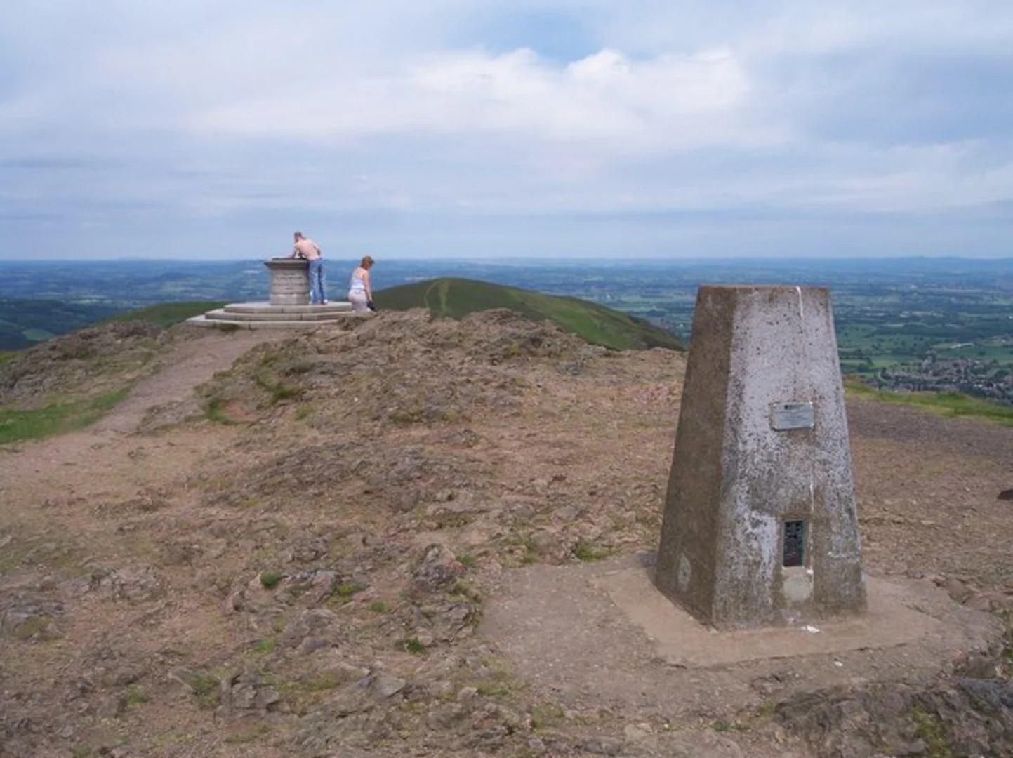
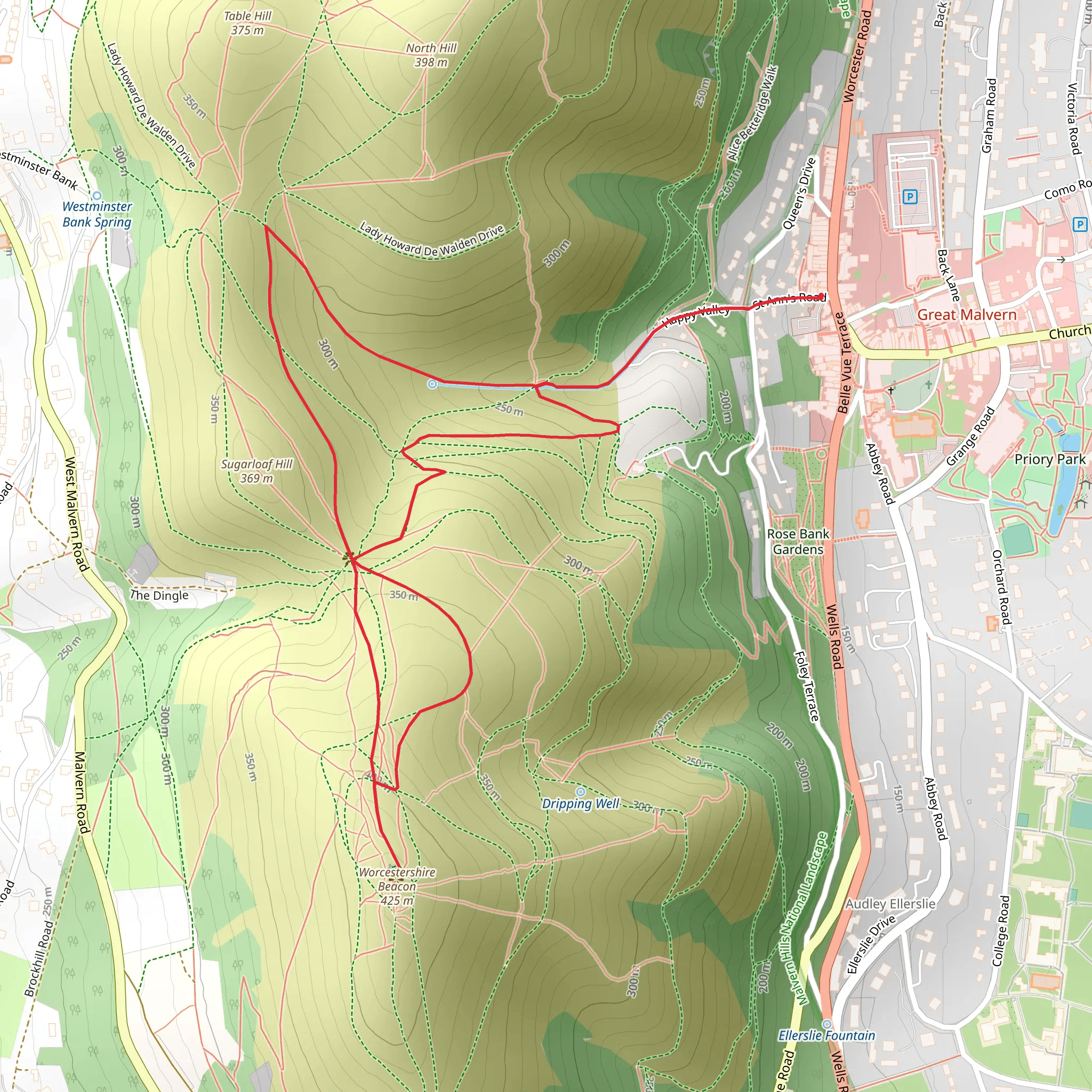
Starting near Worcestershire, England, the Worcestershire Beacon via W Way is a loop trail that spans approximately 4 km (2.5 miles) with an elevation gain of around 200 meters (656 feet). This medium-difficulty trail offers a rewarding hike with stunning views and rich historical context.### Getting ThereTo reach the trailhead, you can drive or use public transport. If driving, you can park near the Malvern Hills Hotel, located at Wynds Point, Malvern WR13 6DW, United Kingdom. For those using public transport, the nearest train station is Great Malvern, from where you can take a local bus or taxi to the trailhead.### Trail OverviewThe trail begins with a gentle ascent through lush woodlands, where you might spot native wildlife such as deer, foxes, and a variety of bird species. As you continue, the path becomes steeper, leading you through open grasslands dotted with wildflowers during the spring and summer months.### Significant Landmarks#### St. Ann's WellApproximately 1 km (0.6 miles) into the hike, you'll come across St. Ann's Well, a historic site known for its natural spring water. The well has been a popular spot since the Victorian era, and you can still fill your water bottle from the spring.#### Worcestershire BeaconAt around the 2 km (1.2 miles) mark, you'll reach the Worcestershire Beacon, the highest point in the Malvern Hills at 425 meters (1,394 feet) above sea level. From here, you can enjoy panoramic views of the surrounding countryside, including the Severn Valley and the Welsh Mountains on a clear day. This is an excellent spot for a rest and some photography.### Historical SignificanceThe Malvern Hills have a rich history dating back to the Iron Age, with evidence of ancient settlements and hill forts. The Worcestershire Beacon itself has been a significant landmark for centuries, used for beacon fires to signal important events. During World War II, the hills were part of a defensive line, and you can still find remnants of military installations.### Navigation and SafetyThe trail is well-marked, but it's always a good idea to have a reliable navigation tool. HiiKER is an excellent app for this purpose, providing detailed maps and real-time tracking. Wear sturdy hiking boots, as the terrain can be uneven and slippery, especially after rain. Carry enough water and snacks, and be prepared for changing weather conditions, as the summit can be windy and cooler than the base.### Flora and FaunaThe trail offers a diverse range of flora and fauna. In the lower woodlands, you'll find ancient oak and beech trees, while the higher elevations are home to heather and gorse. Keep an eye out for skylarks and red kites soaring above, and if you're lucky, you might even spot a peregrine falcon.### Completing the LoopThe descent takes you through more open grasslands and eventually back into the woodlands, completing the loop. The final stretch is relatively easy, allowing you to cool down and enjoy the last bit of nature before returning to the trailhead.This hike offers a perfect blend of natural beauty, historical intrigue, and physical challenge, making it a must-do for any hiking enthusiast visiting Worcestershire.
What to expect?
Activity types
Comments and Reviews
User comments, reviews and discussions about the Worcestershire Beacon via W Way, England.
4.67
average rating out of 5
3 rating(s)

