Download
Preview
Add to list
More
6.5 km
~1 hrs 33 min
157 m
Loop
“The Upper Bittell Reservoir Loop offers a scenic, moderately challenging 6 km hike with diverse landscapes and historical intrigue.”
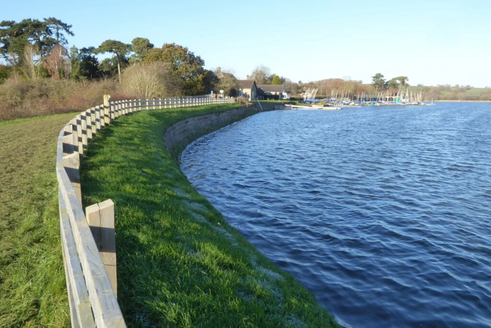
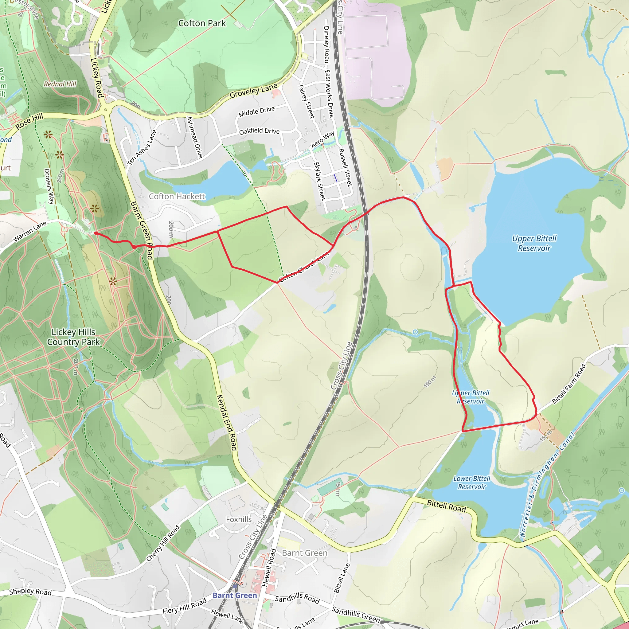
Starting near Worcestershire, England, the Upper Bittell Reservoir Loop is a delightful 6 km (approximately 3.7 miles) loop trail with an elevation gain of around 100 meters (328 feet). This trail is rated as medium difficulty, making it suitable for moderately experienced hikers.### Getting There To reach the trailhead, you can drive or use public transport. If driving, set your GPS to the Upper Bittell Reservoir, located near the village of Barnt Green. For those using public transport, the nearest train station is Barnt Green Station, which is about 2 miles (3.2 km) from the trailhead. From the station, you can either take a taxi or enjoy a warm-up walk to the starting point.### Trail Overview The loop begins near the Upper Bittell Reservoir, a serene body of water that offers a peaceful start to your hike. As you set off, you'll be greeted by a mix of woodland and open fields, providing a variety of landscapes to enjoy. The initial part of the trail is relatively flat, making it a good warm-up before you encounter any elevation changes.### Key Landmarks and Points of Interest - Upper Bittell Reservoir: The reservoir itself is a significant landmark, known for its tranquil waters and the variety of bird species that frequent the area. Keep an eye out for swans, ducks, and even the occasional heron. - Woodland Sections: As you progress, you'll enter denser woodland areas. These sections are particularly beautiful in the autumn when the leaves change color. The canopy provides a cool, shaded environment, perfect for a mid-hike respite. - Open Fields: Approximately halfway through the loop, you'll emerge from the woods into open fields. These areas offer expansive views of the surrounding countryside and are excellent spots for a quick rest or a picnic. - Historical Significance: The region around Upper Bittell Reservoir has a rich history. The reservoir itself was constructed in the 19th century to supply water to the Worcester and Birmingham Canal. As you hike, you may notice remnants of old canal infrastructure, adding a historical dimension to your journey.### Wildlife and Nature The trail is a haven for wildlife enthusiasts. In addition to the bird species around the reservoir, the woodland areas are home to various mammals such as squirrels and foxes. The flora is equally diverse, with wildflowers blooming in the spring and summer, adding splashes of color to the landscape.### Navigation and Safety Given the medium difficulty rating, it's advisable to use a reliable navigation tool like HiiKER to keep track of your progress and ensure you stay on the correct path. The trail is well-marked, but having a digital map can provide extra peace of mind.### Final Stretch As you near the end of the loop, the trail descends gently back towards the reservoir. This final section offers more picturesque views of the water, making for a relaxing end to your hike. The loop brings you back to your starting point, where you can take a moment to reflect on the diverse landscapes and rich history you've just experienced.Whether you're a local or visiting Worcestershire, the Upper Bittell Reservoir Loop offers a rewarding hike filled with natural beauty and historical intrigue.
What to expect?
Activity types
Comments and Reviews
User comments, reviews and discussions about the Upper Bittell Reservoir Loop, England.
4.67
average rating out of 5
3 rating(s)

