Download
Preview
Add to list
More
4.5 km
~1 hrs 7 min
135 m
Loop
“Explore the Habberley Valley Nature Reserve Loop for a scenic, historic, and moderately challenging 4 km hike.”
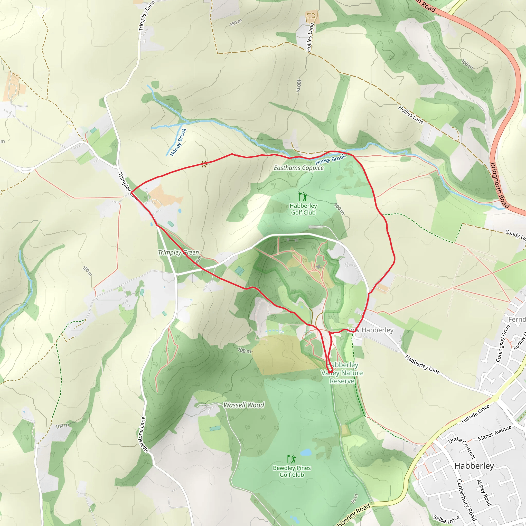
Starting your hike near Worcestershire, England, the Habberley Valley Nature Reserve Loop offers a delightful 4 km (approximately 2.5 miles) journey with an elevation gain of around 100 meters (328 feet). This loop trail is rated as medium difficulty, making it suitable for moderately experienced hikers.
Getting There To reach the trailhead, you can drive or use public transport. If driving, set your GPS to Habberley Valley Nature Reserve, near Kidderminster, Worcestershire. For public transport, take a train to Kidderminster Station, which is the nearest major station. From there, you can catch a local bus or taxi to the reserve.
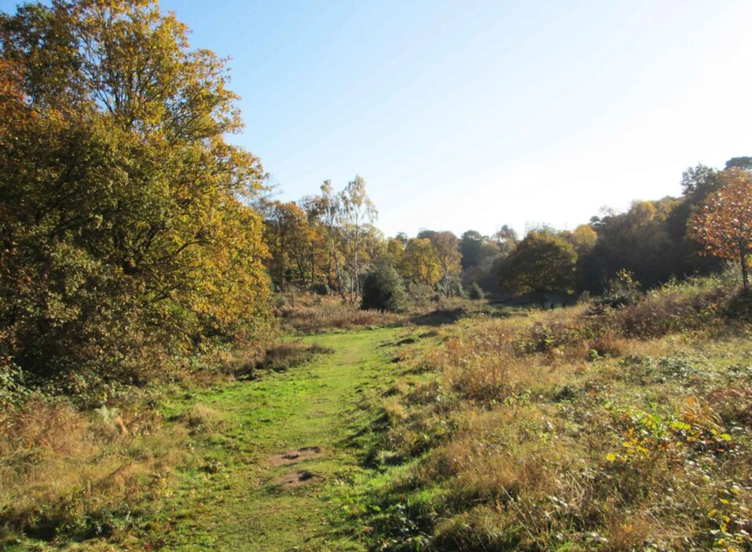
Trail Overview The trail begins at the main entrance of Habberley Valley Nature Reserve. As you start, you'll be greeted by a mix of woodland and open heathland, providing a diverse range of scenery. The initial section is relatively flat, making it a good warm-up for the more challenging parts ahead.
Key Landmarks and Points of Interest - **The Rock Houses**: About 1 km (0.6 miles) into the hike, you'll come across the Rock Houses, ancient dwellings carved into the sandstone cliffs. These houses date back to the 18th century and offer a fascinating glimpse into the area's history. - **Habberley Valley Viewpoint**: At around the 2 km (1.2 miles) mark, you'll reach a viewpoint that offers panoramic views of the valley. This is a great spot to take a break and enjoy the scenery. - **Wildlife and Flora**: The reserve is home to a variety of wildlife, including deer, foxes, and numerous bird species. Keep an eye out for the rare green woodpecker and the common buzzard. The flora is equally diverse, with heather, gorse, and ancient oak trees dotting the landscape.
Trail Navigation The trail is well-marked, but it's always a good idea to have a reliable navigation tool. HiiKER is an excellent app for this purpose, offering detailed maps and real-time tracking to ensure you stay on course.
Elevation and Terrain The trail features a mix of flat sections and moderate inclines. The most significant elevation gain occurs between the 2 km (1.2 miles) and 3 km (1.8 miles) marks, where you'll ascend approximately 50 meters (164 feet). The terrain varies from well-trodden paths to rocky sections, so sturdy hiking boots are recommended.
Historical Significance Habberley Valley has a rich history, with evidence of human activity dating back to the Iron Age. The Rock Houses are a testament to the area's long-standing human habitation. Additionally, the valley was once a site for quarrying, and remnants of this industrial past can still be seen along the trail.
Final Stretch As you approach the final kilometer, the trail descends gently back towards the starting point. This section is less strenuous, allowing you to cool down and reflect on the natural beauty and historical richness you've experienced.
Practical Tips - **Weather**: The weather in Worcestershire can be unpredictable, so check the forecast and dress in layers. - **Facilities**: There are no facilities along the trail, so bring enough water and snacks. - **Safety**: Mobile reception can be patchy, so inform someone of your plans before you set out.
Enjoy your hike through the Habberley Valley Nature Reserve Loop, a trail that offers a perfect blend of natural beauty, historical intrigue, and moderate physical challenge.
What to expect?
Activity types
Comments and Reviews
User comments, reviews and discussions about the Habberley Valley Nature Reserve Loop, England.
4.0
average rating out of 5
1 rating(s)

