Download
Preview
Add to list
More
4.0 km
~50 min
29 m
Loop
“A scenic, historic 4 km loop along the River Severn with no significant elevation, starting at Diglis Bridge.”
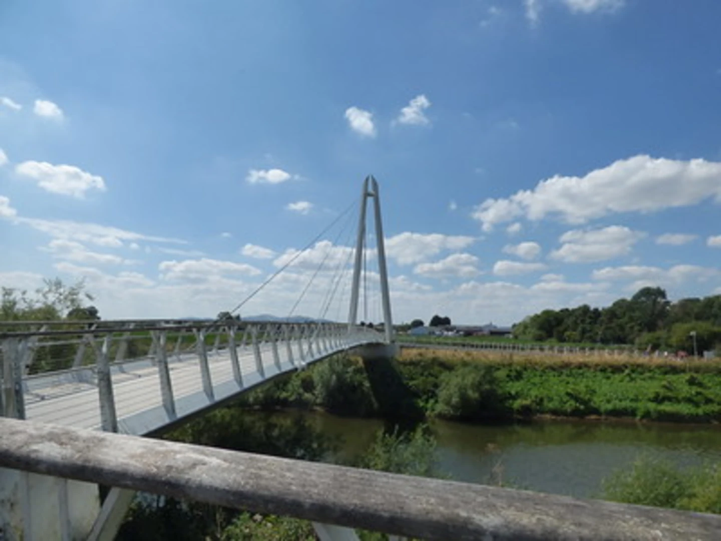
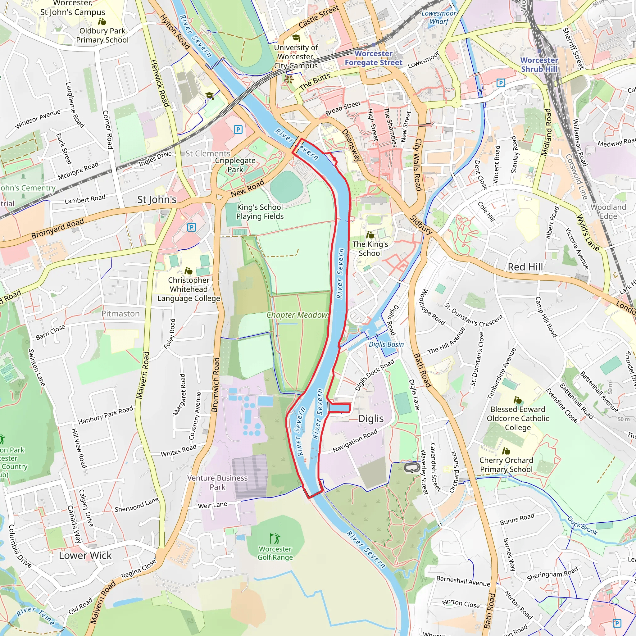
Starting near Worcestershire, England, the Diglis Bridge and Links and River Severn Loop is a delightful 4 km (approximately 2.5 miles) loop trail with no significant elevation gain, making it accessible for most hikers. The trailhead is conveniently located near the Diglis Bridge, a notable landmark in the area.### Getting There For those traveling by public transport, the nearest major hub is Worcester Foregate Street Station. From the station, it's a short walk or a quick bus ride to the trailhead. If you're driving, there are several parking options near Diglis Bridge, including street parking and designated parking areas.### Trail Overview The trail begins at Diglis Bridge, an iconic pedestrian and cycle bridge that spans the River Severn. As you cross the bridge, take a moment to enjoy the panoramic views of the river and the surrounding landscape. The bridge itself is a modern marvel, completed in 2010, and serves as a vital link for the local community.### Along the River Severn Once across the bridge, the trail follows the eastern bank of the River Severn. This section is particularly scenic, with lush greenery and the gentle flow of the river providing a serene backdrop. Keep an eye out for local wildlife, including swans, ducks, and occasionally, kingfishers. The riverbanks are also home to various plant species, making it a great spot for nature enthusiasts.### Historical Significance As you continue along the river, you'll pass by several points of historical interest. The River Severn itself has been a crucial waterway since Roman times, facilitating trade and transport. The area around Diglis has a rich industrial history, with remnants of old warehouses and docks that once played a significant role in the local economy.### Navigation and Landmarks Using HiiKER for navigation is highly recommended to ensure you stay on the correct path. The trail is well-marked, but having a reliable navigation tool can enhance your experience. Approximately 2 km (1.2 miles) into the hike, you'll reach the Worcester and Birmingham Canal. This canal is another historical feature, completed in the early 19th century, and it offers a picturesque setting with narrowboats and charming canal-side cottages.### Returning to the Trailhead The loop continues along the canal for a short distance before crossing back over the River Severn via the Worcester Bridge. This bridge, unlike the modern Diglis Bridge, has a more traditional design and has been a key crossing point for centuries. After crossing the Worcester Bridge, the trail leads you back to the starting point near Diglis Bridge.### Final Stretch The final stretch of the trail takes you through some of Worcester's lovely green spaces, including Diglis Fields. This area is perfect for a leisurely stroll and offers plenty of spots to rest and enjoy a picnic. The flat terrain and well-maintained paths make it an easy walk back to the trailhead.This loop trail is a perfect blend of natural beauty and historical intrigue, offering hikers a chance to explore the scenic River Severn and its surroundings while delving into the rich history of the Worcestershire area.
What to expect?
Activity types
Comments and Reviews
User comments, reviews and discussions about the Diglis Bridge and Links and River Severn Loop, England.
average rating out of 5
0 rating(s)

