Download
Preview
Add to list
More
8.1 km
~1 hrs 48 min
118 m
Loop
“Explore a scenic 8 km loop with wildlife, woodlands, and historical landmarks near Worcestershire's Barnt Green.”
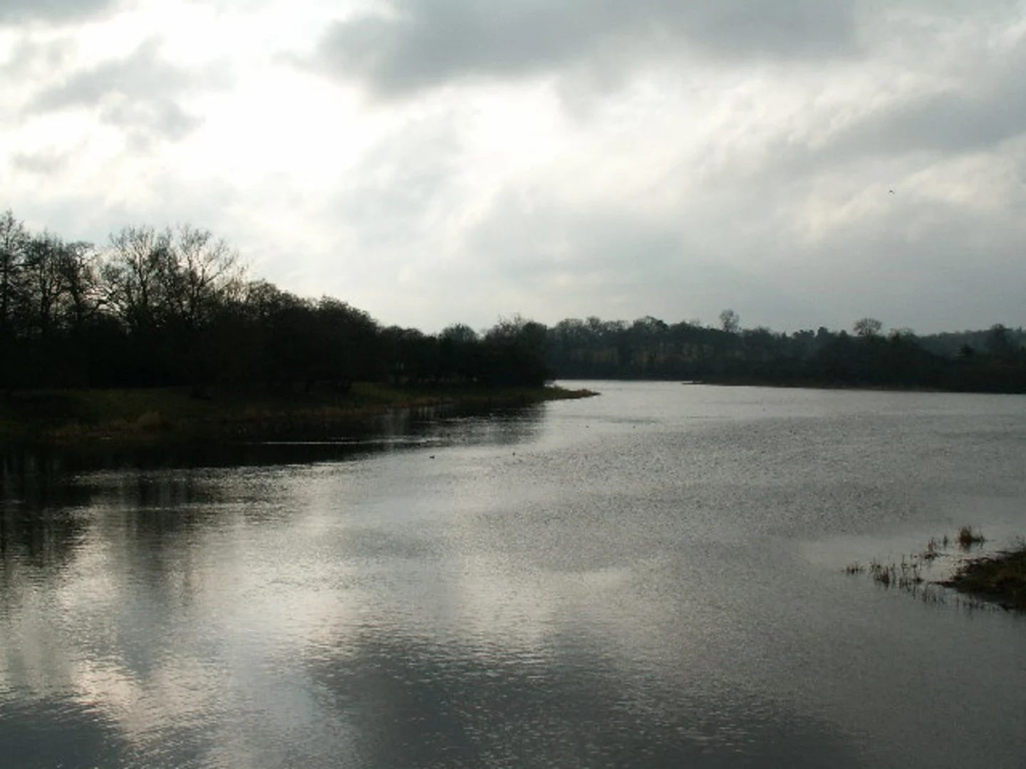
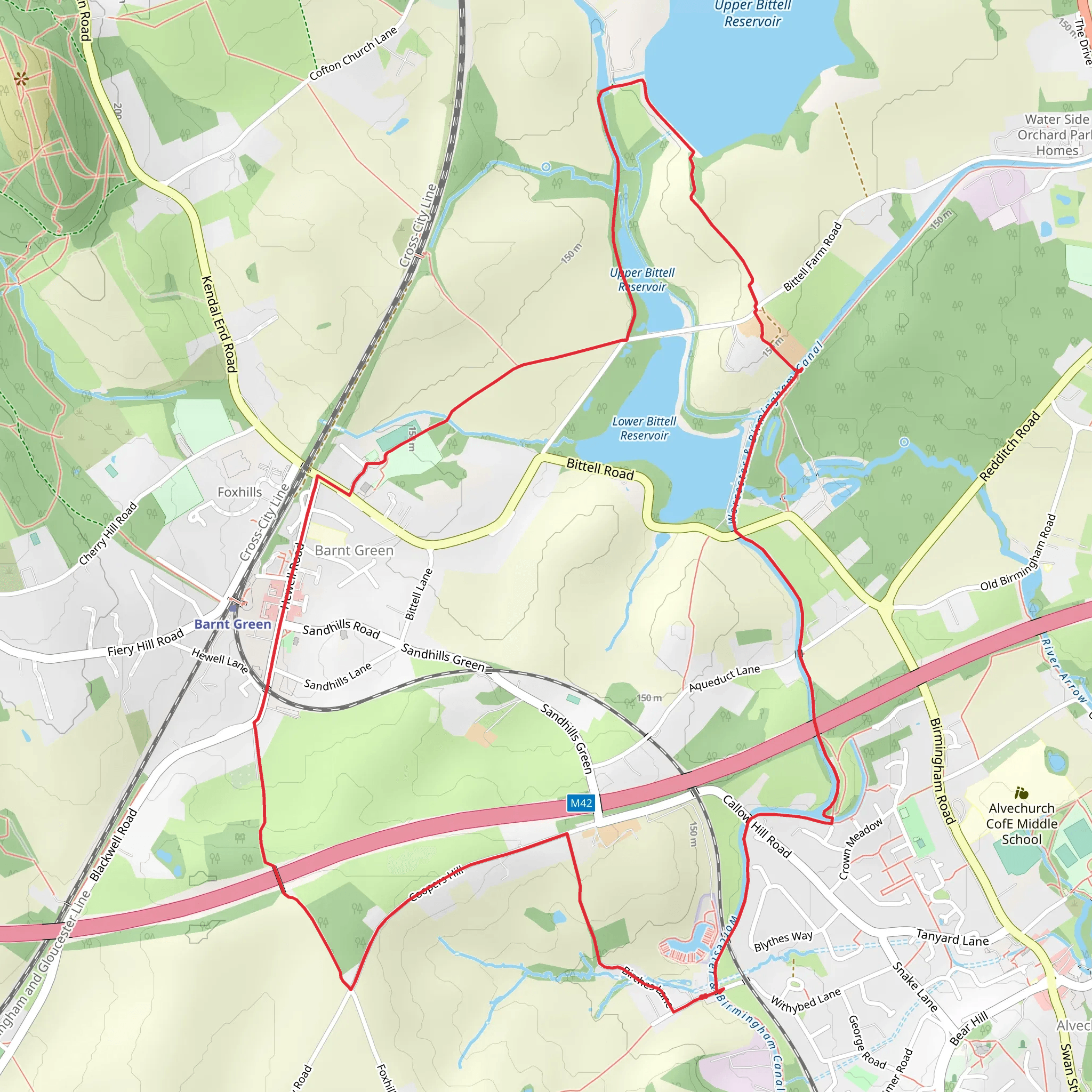
Starting near Worcestershire, England, the Barnt Green and Lower Bittell Reservoir Loop is an 8 km (5-mile) loop trail with an elevation gain of around 100 meters (328 feet). This medium-difficulty trail offers a delightful mix of natural beauty, historical landmarks, and opportunities for wildlife spotting.### Getting There To reach the trailhead, you can drive to Barnt Green, a village in Worcestershire. If you're using public transport, Barnt Green railway station is conveniently located nearby, with regular services from Birmingham New Street. From the station, it's a short walk to the start of the trail.### Trail Overview The trail begins near Barnt Green, leading you through a picturesque landscape that includes woodlands, open fields, and the serene Lower Bittell Reservoir. The loop is well-marked, but it's always a good idea to have a reliable navigation tool like HiiKER to ensure you stay on track.### Key Landmarks and Sections#### Barnt Green Village Starting in Barnt Green, you'll find a charming village with a few local shops and cafes. It's a good idea to stock up on any last-minute supplies or grab a coffee before you set off.#### Woodlands and Open Fields As you leave the village, the trail takes you through lush woodlands and open fields. This section is relatively flat and offers a gentle introduction to the hike. Keep an eye out for local wildlife, including deer and various bird species.#### Lower Bittell Reservoir Approximately 3 km (1.8 miles) into the hike, you'll reach the Lower Bittell Reservoir. This is a great spot to take a break and enjoy the tranquil waters. The reservoir is a haven for birdwatchers, with species such as herons, kingfishers, and various waterfowl frequently spotted here.#### Historical Significance The area around the reservoir has historical significance, with remnants of old canal systems and industrial heritage. The Worcester and Birmingham Canal, which runs nearby, played a crucial role in the region's industrial past, facilitating the transport of goods between the two cities.#### Elevation Gain As you continue, the trail begins to ascend gently, gaining around 100 meters (328 feet) in elevation. This section offers some moderate challenges but rewards you with stunning views over the surrounding countryside. The highest point of the trail provides a panoramic vista that is particularly beautiful during sunrise or sunset.### Final Stretch The last part of the loop brings you back towards Barnt Green, passing through more woodlands and open fields. This section is relatively easy, allowing you to cool down and reflect on the hike as you make your way back to the village.### Practical Tips - Wear sturdy hiking boots, as some sections can be muddy, especially after rain. - Bring water and snacks, as there are limited facilities along the trail. - Check the weather forecast before you go, and dress in layers to accommodate changing conditions. - Use HiiKER for navigation to ensure you stay on the correct path.This trail offers a wonderful mix of natural beauty, historical interest, and moderate physical challenge, making it a rewarding experience for hikers of all levels.
What to expect?
Activity types
Comments and Reviews
User comments, reviews and discussions about the Barnt Green and Lower Bittell Reservoir Loop, England.
4.33
average rating out of 5
6 rating(s)

