Download
Preview
Add to list
More
25.6 km
~1 day 1 hrs
592 m
Point-to-Point
“Embark on the scenic, historic Ulverston to Coniston Walk, a 26-km medium-difficulty hike through diverse terrains.”
Starting near Westmorland and Furness, England, the Ulverston to Coniston Walk spans approximately 26 km (16 miles) with an elevation gain of around 500 meters (1,640 feet). This point-to-point trail is estimated to be of medium difficulty, making it suitable for moderately experienced hikers.
Getting There To reach the trailhead, you can either drive or use public transport. If driving, head towards Ulverston, where parking is available near the town center. For those using public transport, Ulverston is accessible via train from major cities like Manchester and Lancaster. The train station is conveniently located near the start of the trail.
Trail Overview The trail begins in the charming market town of Ulverston, known for its cobbled streets and historic buildings. As you set off, you'll pass the iconic Hoad Monument, a lighthouse-like structure offering panoramic views of Morecambe Bay and the surrounding countryside.
Landmarks and Points of Interest - **Hoad Monument (Approx. 1 km / 0.6 miles)**: This early landmark provides a great spot for a brief rest and photo opportunity. - **Lowick Common (Approx. 8 km / 5 miles)**: As you continue, you'll traverse Lowick Common, a beautiful area of open moorland. Keep an eye out for local wildlife, including red deer and various bird species. - **River Crake (Approx. 12 km / 7.5 miles)**: The trail then follows the River Crake, a serene waterway that offers picturesque views and a chance to spot otters and kingfishers.
Historical Significance The region is steeped in history, with evidence of ancient settlements and Roman roads. Ulverston itself dates back to the 12th century and has a rich maritime history. As you hike, you'll pass through areas that were once bustling with industrial activity, including old mills and quarries.
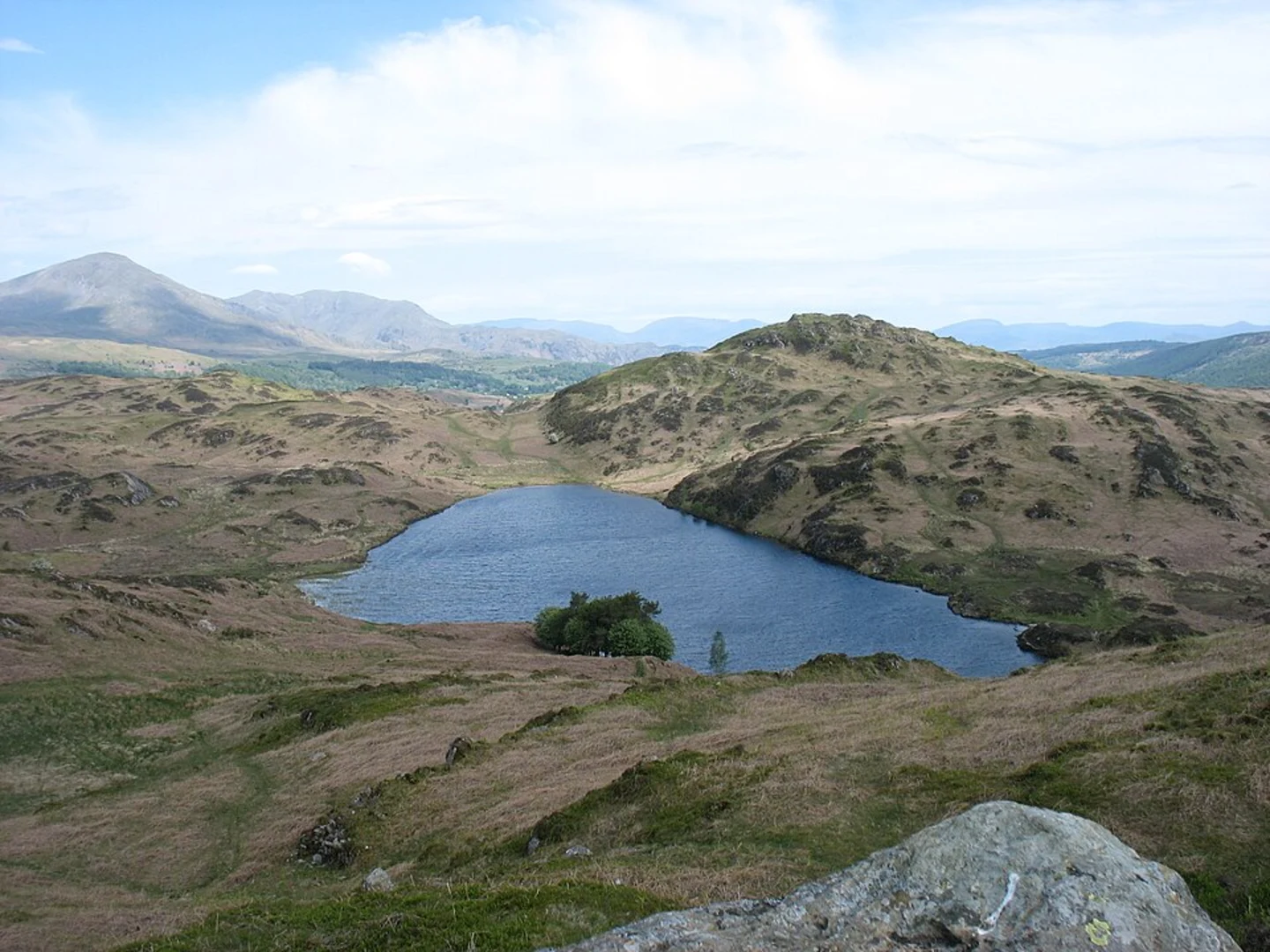
Elevation and Terrain The trail features a mix of terrains, including woodland paths, open moorland, and riverside tracks. The elevation gain is gradual, with the most significant climbs occurring in the first half of the hike. The highest point is near Beacon Tarn, offering stunning views of the surrounding fells.
Navigation and Safety Given the varied terrain, it's advisable to use a reliable navigation tool like HiiKER to stay on track. The trail is well-marked, but weather conditions can change rapidly, so be prepared with appropriate gear.
Wildlife and Flora The area is rich in biodiversity. In addition to red deer and otters, you may encounter badgers, foxes, and a variety of bird species, including buzzards and herons. The flora is equally diverse, with ancient woodlands, heathlands, and wildflower meadows.
Final Stretch As you approach Coniston, the landscape becomes more rugged, with rocky outcrops and dense woodland. The trail concludes near Coniston Water, one of the largest lakes in the Lake District, offering a perfect spot to relax and reflect on your journey.
Practical Tips - **Water and Food**: There are limited facilities along the trail, so carry sufficient water and snacks. - **Footwear**: Sturdy hiking boots are recommended due to the varied terrain. - **Weather**: Check the weather forecast before setting out and be prepared for sudden changes.
This trail offers a blend of natural beauty, historical intrigue, and moderate physical challenge, making it a rewarding experience for those who undertake it.
What to expect?
Activity types
Comments and Reviews
User comments, reviews and discussions about the Ulverston to Coniston Walk, England.
4.67
average rating out of 5
3 rating(s)

