Download
Preview
Add to list
More
12.6 km
~3 hrs 37 min
660 m
Loop
“Explore the heart of the Lake District with this 13 km loop offering stunning vistas and moderate challenges.”
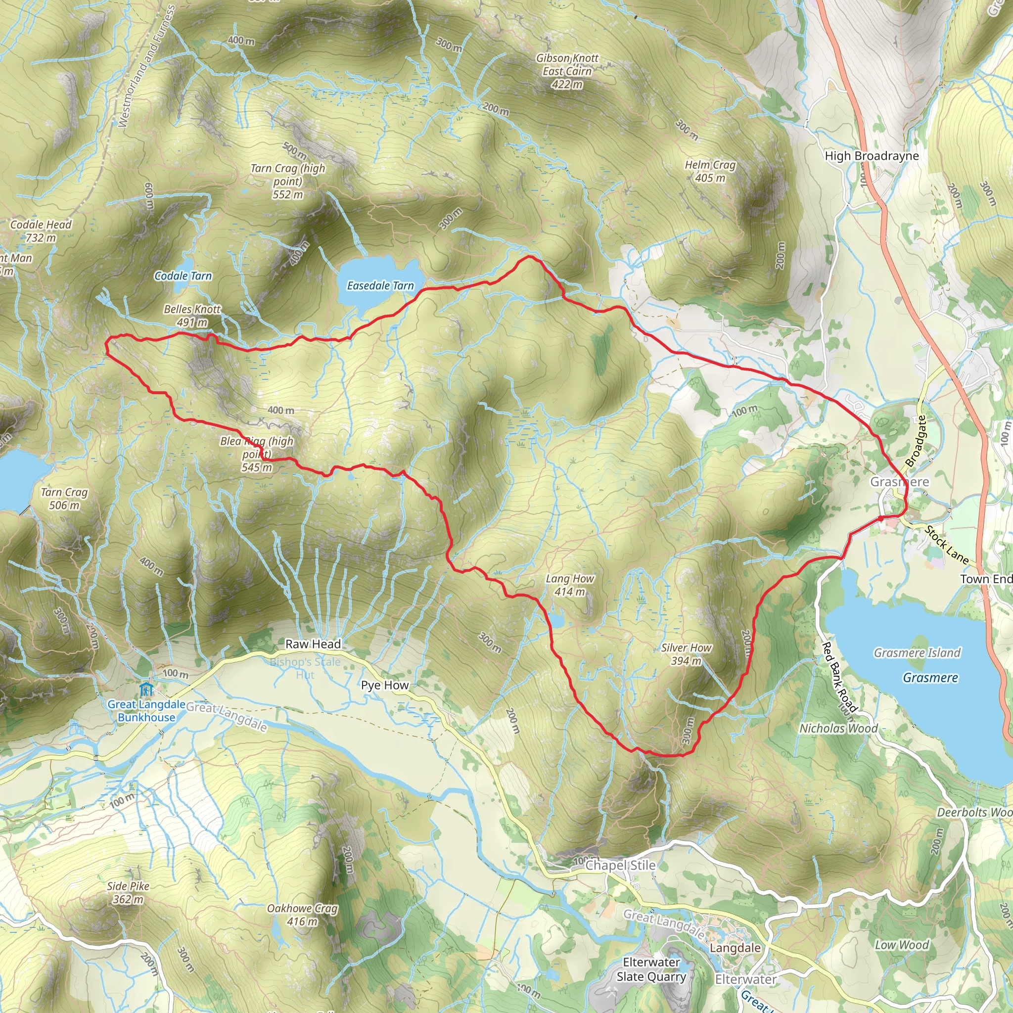
Starting near Westmorland and Furness, England, this 13 km (8 miles) loop trail offers a moderately challenging hike with an elevation gain of approximately 600 meters (1,969 feet). The trailhead is accessible by car or public transport, with the nearest significant landmark being the village of Grasmere. If you're driving, parking is available in Grasmere, and from there, it's a short walk to the trailhead. For those using public transport, buses run regularly to Grasmere from nearby towns such as Ambleside and Keswick.
Initial Ascent and Swinesca Pike The hike begins with a steady ascent through lush woodlands and open fields, gradually leading you to Swinesca Pike. This section covers roughly 3 km (1.9 miles) and gains about 200 meters (656 feet) in elevation. The path is well-trodden but can be muddy after rain, so sturdy hiking boots are recommended. As you climb, you'll be treated to panoramic views of the surrounding fells and valleys. Keep an eye out for local wildlife, including red squirrels and various bird species.
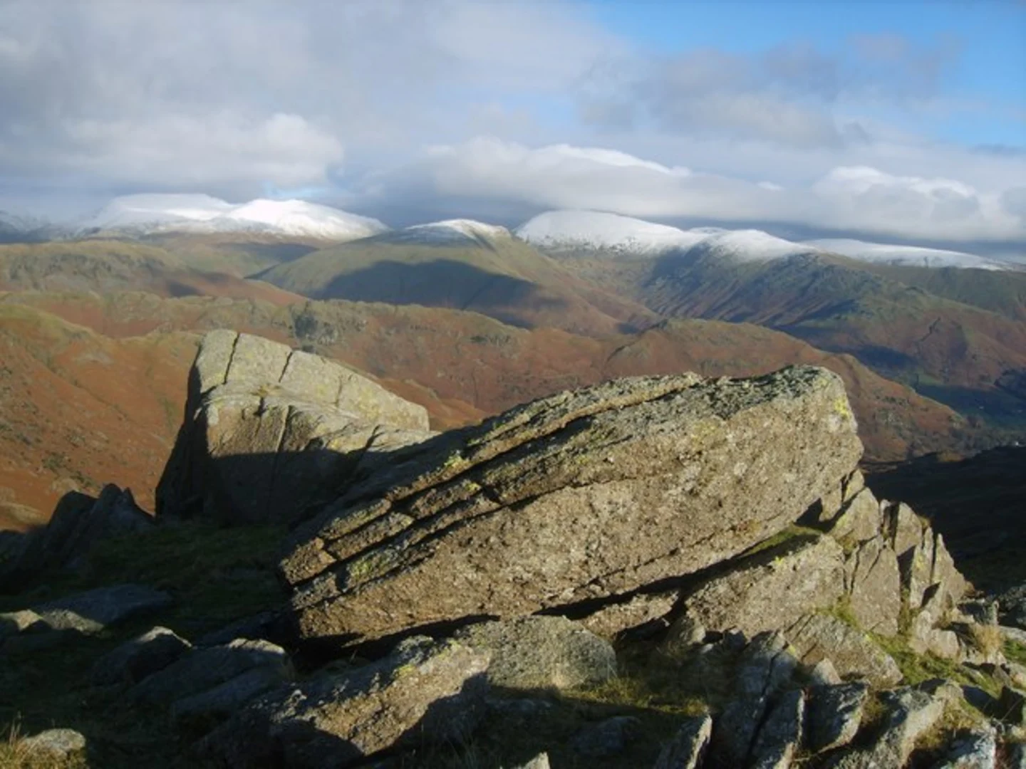
Blea Rigg Continuing from Swinesca Pike, the trail takes you along a ridge towards Blea Rigg. This segment is approximately 4 km (2.5 miles) long and involves some undulating terrain, with minor ascents and descents. The highest point on Blea Rigg offers stunning vistas of the Langdale Pikes and the distant Coniston Fells. The rocky outcrops here are perfect for a short break and some photography. The flora in this area includes heather and bilberry, adding a splash of color to the landscape.
Easedale Tarn Descending from Blea Rigg, you'll head towards Easedale Tarn, one of the most picturesque tarns in the Lake District. This section is about 3 km (1.9 miles) and involves a descent of around 150 meters (492 feet). The tarn itself is a serene spot, surrounded by rugged hills and often frequented by wildfowl. It's an ideal location for a picnic or a refreshing dip in the summer months. The path around the tarn is relatively flat and easy to navigate.
Return to Grasmere The final leg of the hike takes you back to Grasmere, covering the remaining 3 km (1.9 miles) with a gentle descent of about 250 meters (820 feet). The trail meanders through Easedale Valley, passing by cascading streams and small waterfalls. The valley is rich in history, with remnants of old mining activities visible along the route. As you approach Grasmere, you'll pass by Allan Bank, a historic house once home to the poet William Wordsworth.
Navigation and Safety For navigation, it's advisable to use the HiiKER app, which provides detailed maps and real-time tracking to ensure you stay on course. Weather in the Lake District can be unpredictable, so always check the forecast and be prepared with appropriate clothing and gear. The trail is well-marked, but fog and low visibility can make navigation challenging, especially on the higher sections.
This hike offers a blend of natural beauty, historical significance, and moderate physical challenge, making it a rewarding experience for those looking to explore the heart of the Lake District.
What to expect?
Activity types
Comments and Reviews
User comments, reviews and discussions about the Swinesca Pike, Blea Rigg and Easedale Tarn, England.
5.0
average rating out of 5
3 rating(s)

