Download
Preview
Add to list
More
9.4 km
~2 hrs 21 min
288 m
Loop
“Experience scenic views, history, and wildlife on the moderately challenging Pennington Reservoir and Knotallow Tarn Loop.”
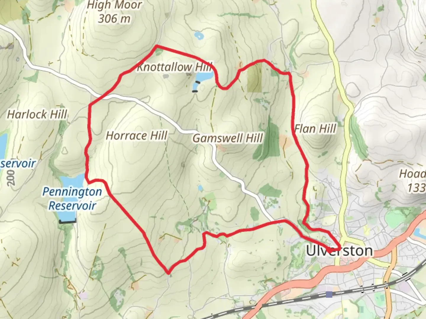
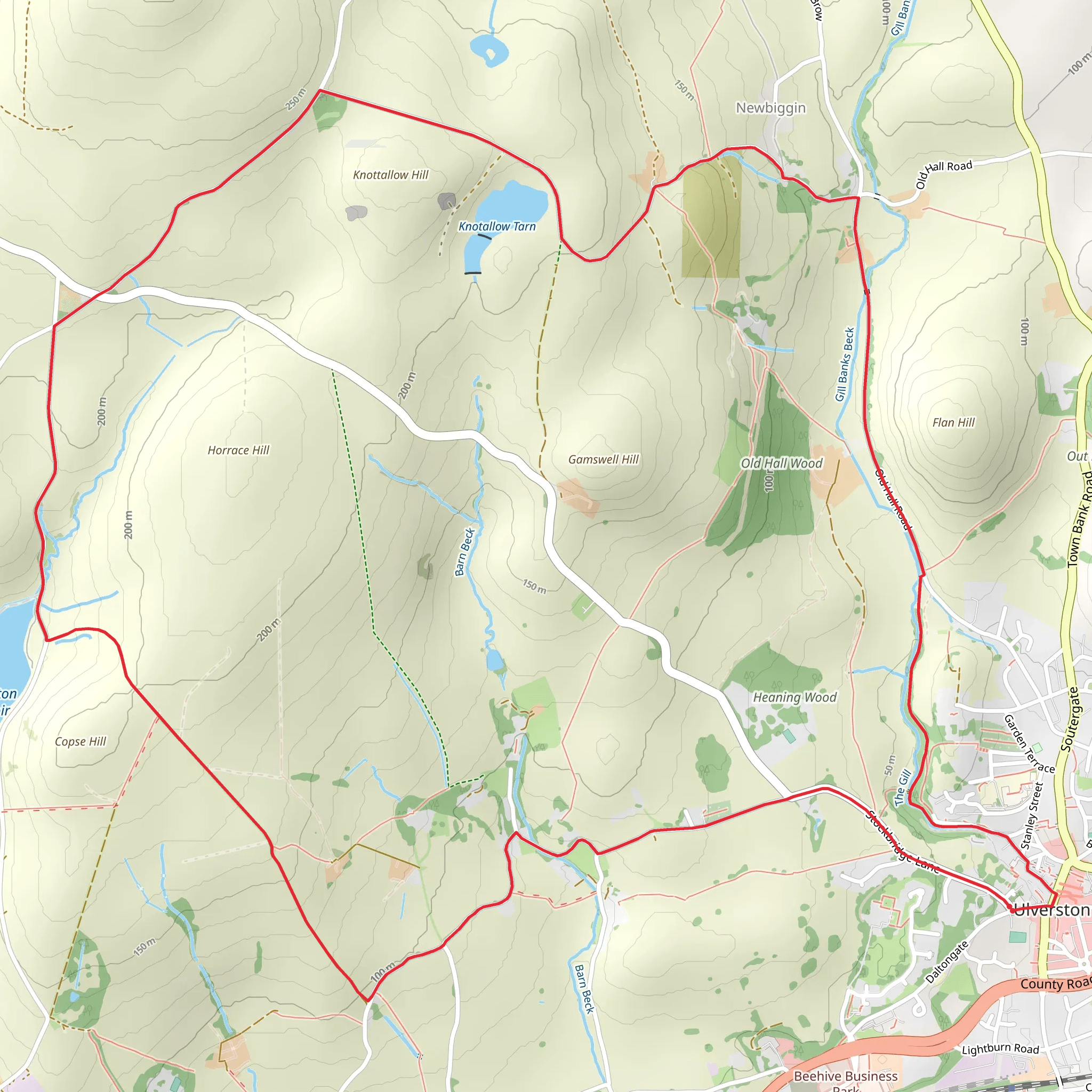
Starting near the picturesque region of Westmorland and Furness in England, the Pennington Reservoir and Knotallow Tarn Loop is a delightful 9 km (approximately 5.6 miles) trail with an elevation gain of around 200 meters (656 feet). This loop trail is rated as medium difficulty, making it suitable for moderately experienced hikers.### Getting There To reach the trailhead, you can drive or use public transport. If driving, set your GPS to the nearest known address, which is the village of Pennington. For those using public transport, the nearest significant landmark is the Ulverston railway station. From Ulverston, you can take a local bus or taxi to Pennington, which is just a short distance away.### Trail Overview The trail begins near Pennington Reservoir, a serene body of water that offers a peaceful start to your hike. As you set off, you'll be greeted by the gentle sounds of water and the sight of various waterfowl, including ducks and swans. The path around the reservoir is well-maintained, making it easy to navigate.### Key Landmarks and Nature About 2 km (1.2 miles) into the hike, you'll come across the first significant elevation gain as you ascend towards Knotallow Tarn. This section of the trail offers panoramic views of the surrounding countryside, with rolling hills and lush greenery. Keep an eye out for local wildlife such as red squirrels and various bird species.At approximately 4 km (2.5 miles), you'll reach Knotallow Tarn, a tranquil tarn that sits nestled among the hills. This is a great spot to take a break, enjoy a picnic, and soak in the natural beauty. The tarn is also a popular spot for anglers, so you might see some fishing activity.### Historical Significance The region around Westmorland and Furness is steeped in history. As you hike, you'll pass by remnants of ancient stone walls and old farmsteads, offering a glimpse into the area's agricultural past. The trail also skirts close to the historic village of Pennington, which dates back to the medieval period. The village itself is worth a visit for its charming architecture and local history.### Navigation and Safety For navigation, it's highly recommended to use the HiiKER app, which provides detailed maps and real-time updates. The trail is generally well-marked, but having a reliable navigation tool will ensure you stay on track.### Final Stretch The final 3 km (1.9 miles) of the loop take you through a mix of open fields and wooded areas, gradually descending back towards Pennington Reservoir. This section is relatively easy, allowing you to enjoy the diverse flora and fauna of the region. As you complete the loop, you'll find yourself back at the reservoir, where you can reflect on the beautiful journey you've just undertaken.This trail offers a perfect blend of natural beauty, historical intrigue, and moderate physical challenge, making it a rewarding experience for any hiker.
What to expect?
Activity types
Comments and Reviews
User comments, reviews and discussions about the Pennington Reservoir and Knotallow Tarn Loop, England.
5.0
average rating out of 5
2 rating(s)
