Download
Preview
Add to list
More
7.5 km
~2 hrs 0 min
301 m
Loop
“The High Wray Loop is an 8 km trail showcasing historical landmarks, serene nature, and diverse wildlife.”
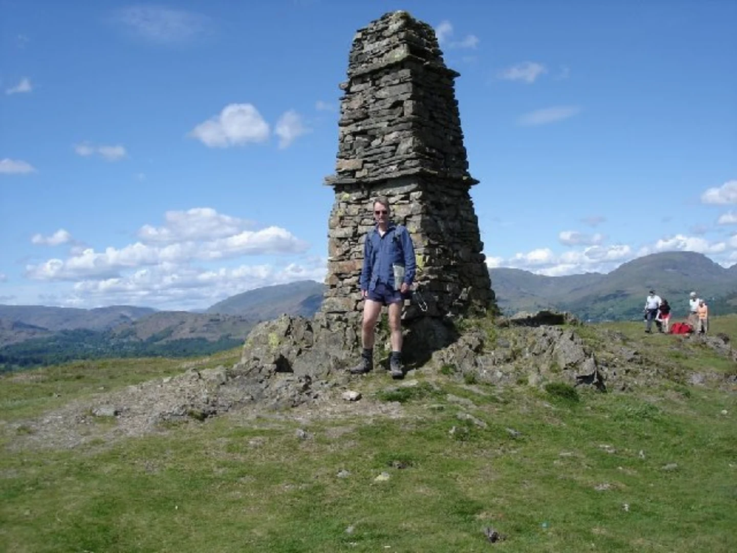
Starting near Westmorland and Furness, England, the High Wray Loop via Blelham Tarn and Wray Castle is an 8 km (approximately 5 miles) loop trail with an elevation gain of around 300 meters (about 984 feet). This medium-difficulty trail offers a blend of historical landmarks, serene natural beauty, and diverse wildlife, making it a rewarding hike for those prepared to take on its challenges.### Getting There To reach the trailhead, you can either drive or use public transport. If driving, head towards the village of High Wray, where you can find parking near the National Trust car park. For those using public transport, the nearest major town is Ambleside. From Ambleside, you can take a local bus service to High Wray, or alternatively, a taxi ride will get you there in about 10 minutes.### Trail Overview The trail begins near the National Trust car park in High Wray. From here, you'll embark on a journey through a mix of woodland paths and open fields. The initial section is relatively flat, allowing you to ease into the hike. As you progress, the trail gradually ascends, offering stunning views of the surrounding Lake District landscape.### Blelham Tarn Approximately 2 km (1.2 miles) into the hike, you'll reach Blelham Tarn. This tranquil body of water is a perfect spot for a short break. The tarn is home to a variety of bird species, so keep your binoculars handy. The area around Blelham Tarn is also rich in flora, with seasonal wildflowers adding a splash of color to the scenery.### Wray Castle Continuing on, the trail leads you towards Wray Castle, situated about 4 km (2.5 miles) from the start. This 19th-century Gothic Revival castle is a significant landmark with a fascinating history. Built in 1840 by James Dawson, a retired surgeon from Liverpool, the castle is now managed by the National Trust. While the interior may not always be open to the public, the grounds are accessible and offer splendid views of Lake Windermere.### Wildlife and Nature As you make your way back towards High Wray, the trail meanders through ancient woodlands and open meadows. This section is particularly rich in wildlife. Look out for red squirrels, deer, and a variety of bird species. The diverse habitats along the trail support a wide range of flora and fauna, making it a delight for nature enthusiasts.### Navigation and Safety Given the varied terrain and the potential for changing weather conditions, it's advisable to use a reliable navigation tool like HiiKER to stay on track. The trail is well-marked, but having a digital map can provide additional peace of mind. Wear sturdy hiking boots and bring layers, as the weather in the Lake District can be unpredictable.### Historical Significance The region around High Wray and Wray Castle is steeped in history. The castle itself is a testament to the Victorian era's architectural ambitions. Additionally, the surrounding landscape has been shaped by centuries of agricultural practices, evident in the stone walls and farm buildings you’ll encounter along the way.This 8 km loop offers a perfect blend of natural beauty, historical intrigue, and moderate physical challenge, making it an ideal choice for hikers looking to explore the Lake District's rich heritage and stunning landscapes.

What to expect?
Activity types
Comments and Reviews
User comments, reviews and discussions about the High Wray Loop via Blelham Tarn and Wray Castle, England.
5.0
average rating out of 5
3 rating(s)