Download
Preview
Add to list
More
9.6 km
~2 hrs 31 min
360 m
Out and Back
“Explore the Cattle Grid and Little Loughrigg trail's lush beauty and historical charm in the serene Lake District.”
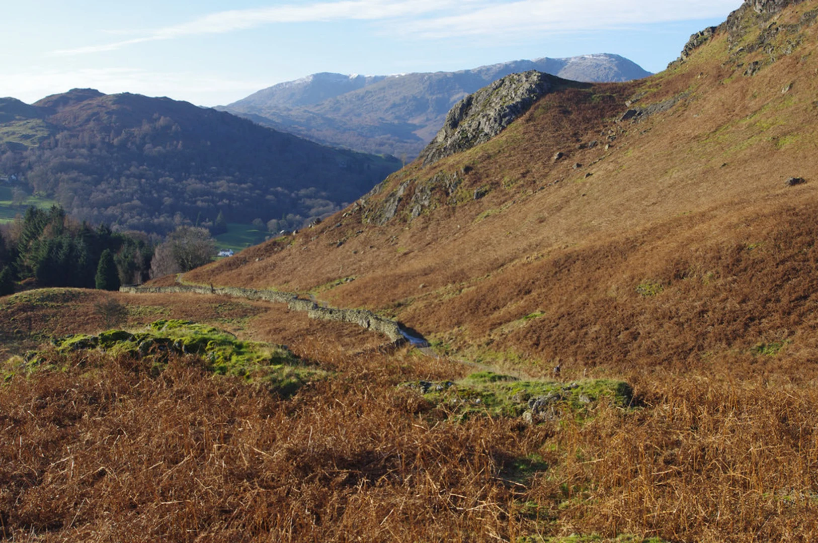
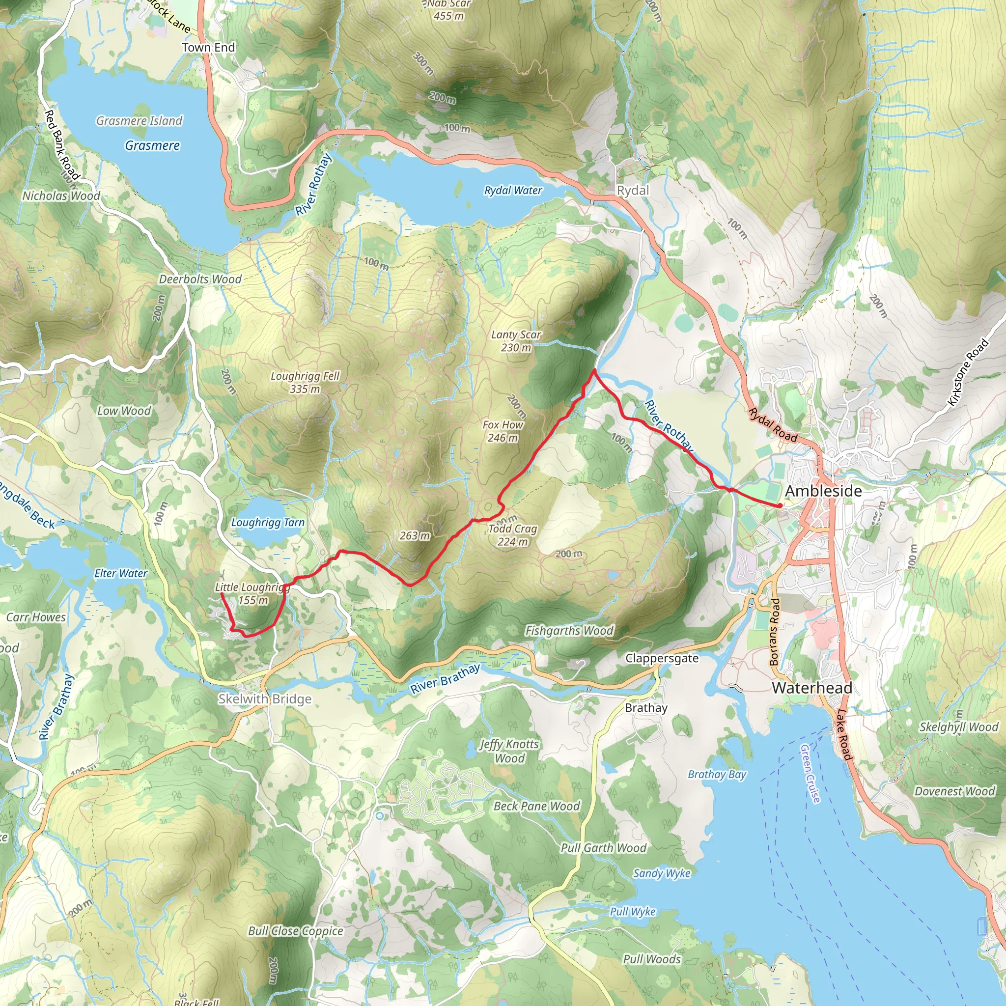
Starting near the picturesque village of Westmorland and Furness, England, the Cattle Grid and Little Loughrigg trail offers a delightful 10 km (approximately 6.2 miles) out-and-back hike with an elevation gain of around 300 meters (984 feet). This medium-difficulty trail is perfect for those looking to explore the serene beauty of the Lake District.
Getting There To reach the trailhead, you can drive or use public transport. If driving, head towards the village of Ambleside, which is well-signposted from major roads. From Ambleside, follow signs to Rydal Road and continue until you reach the designated parking area near the trailhead. For those using public transport, Ambleside is accessible by bus from major towns like Windermere, which has a train station connecting to larger cities such as Manchester and London.
Trail Overview The trail begins near the parking area close to the village of Westmorland and Furness. As you set off, you'll immediately be greeted by the lush greenery and rolling hills characteristic of the Lake District. The initial part of the trail is relatively flat, making for a gentle warm-up.
Significant Landmarks and Nature At around 2 km (1.2 miles) into the hike, you'll encounter the first significant landmark: the Cattle Grid. This area is known for its pastoral beauty, with grazing sheep and open fields. The grid itself is a reminder of the region's agricultural heritage, designed to keep livestock from wandering onto the roads.
Continuing on, the trail begins to ascend gradually. Around the 4 km (2.5 miles) mark, you'll reach a viewpoint offering stunning vistas of the surrounding fells and valleys. This is a great spot to take a break and soak in the natural beauty.
Little Loughrigg As you approach the halfway point of the trail, you'll come upon Little Loughrigg. This area is a small but enchanting fell, offering panoramic views of the Lake District. The climb to the top is moderate but rewarding, with an elevation gain of about 150 meters (492 feet) from the base. From here, you can see landmarks such as Loughrigg Tarn and the distant peaks of the Langdale Pikes.
Flora and Fauna The trail is rich in biodiversity. Keep an eye out for native wildlife such as red squirrels, deer, and a variety of bird species including kestrels and buzzards. The flora is equally impressive, with ancient woodlands, heather-covered moorlands, and seasonal wildflowers adding splashes of color to the landscape.
Historical Significance The Lake District has a rich history, and this trail is no exception. The area around Little Loughrigg has been inhabited since prehistoric times, with evidence of ancient settlements and stone circles. The region also played a significant role during the Industrial Revolution, with many of the old paths originally used for transporting goods.
Navigation and Safety For navigation, it's highly recommended to use the HiiKER app, which provides detailed maps and real-time updates. The trail is well-marked, but having a reliable navigation tool ensures you stay on track. Always check the weather forecast before setting out, as conditions can change rapidly in the Lake District.
Final Stretch The return journey follows the same path, allowing you to enjoy the scenery from a different perspective. As you descend, take your time to appreciate the tranquil environment and perhaps spot some wildlife you may have missed on the way up.
This trail offers a perfect blend of natural beauty, historical intrigue, and moderate physical challenge, making it a must-visit for any hiking enthusiast exploring the Lake District.
What to expect?
Activity types
Comments and Reviews
User comments, reviews and discussions about the Cattle Grid and Little Loughrigg, England.
4.4
average rating out of 5
5 rating(s)

