Brownhowe Bottom, Ash Knott and Thorny Knott Loop - Haweswater Reservoir
Download
Preview
Add to list
More
14.3 km
~4 hrs 6 min
753 m
Loop
“The Brownhowe Bottom Loop around Haweswater Reservoir features 14 km of diverse landscapes and rich history.”
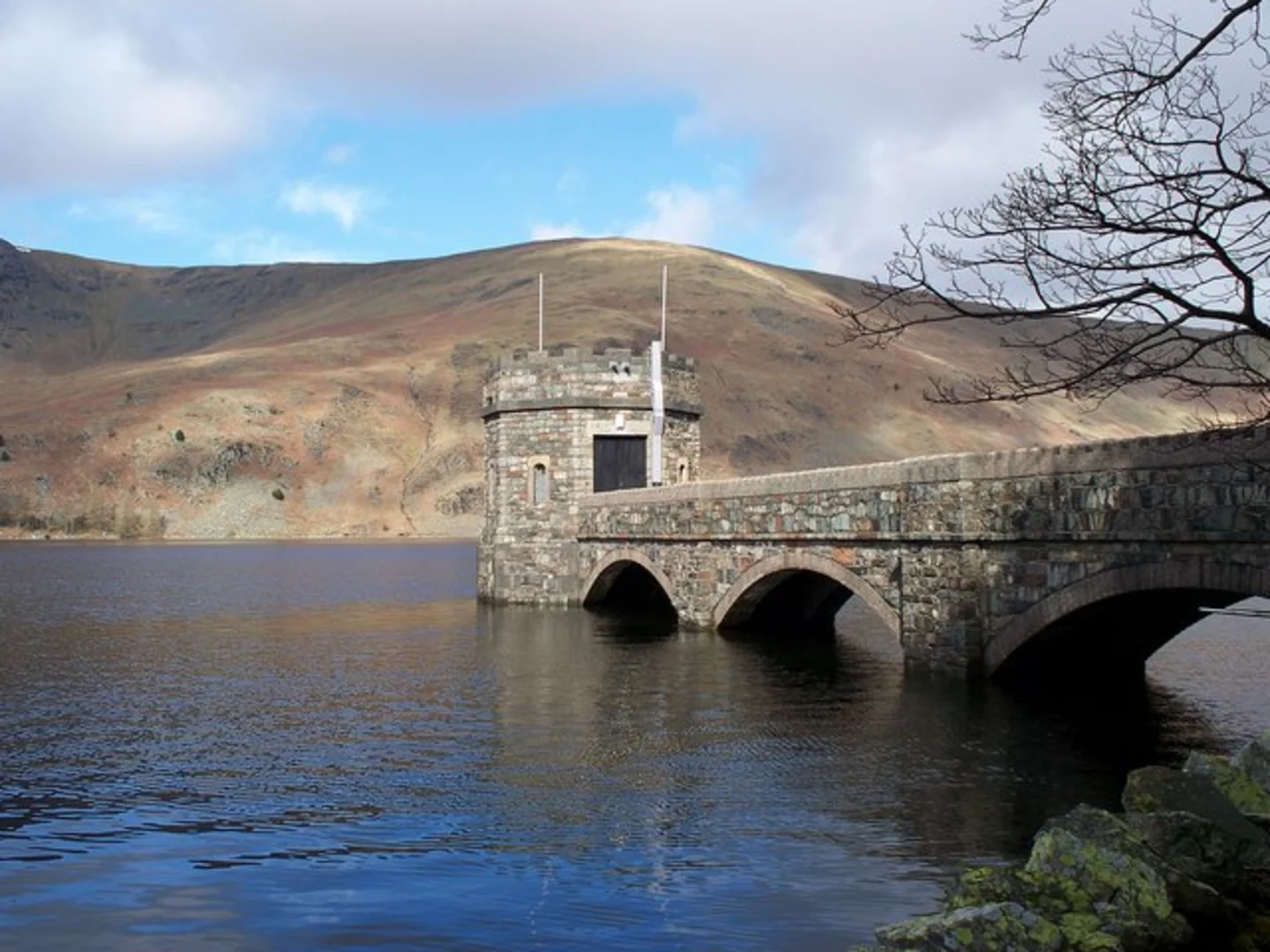
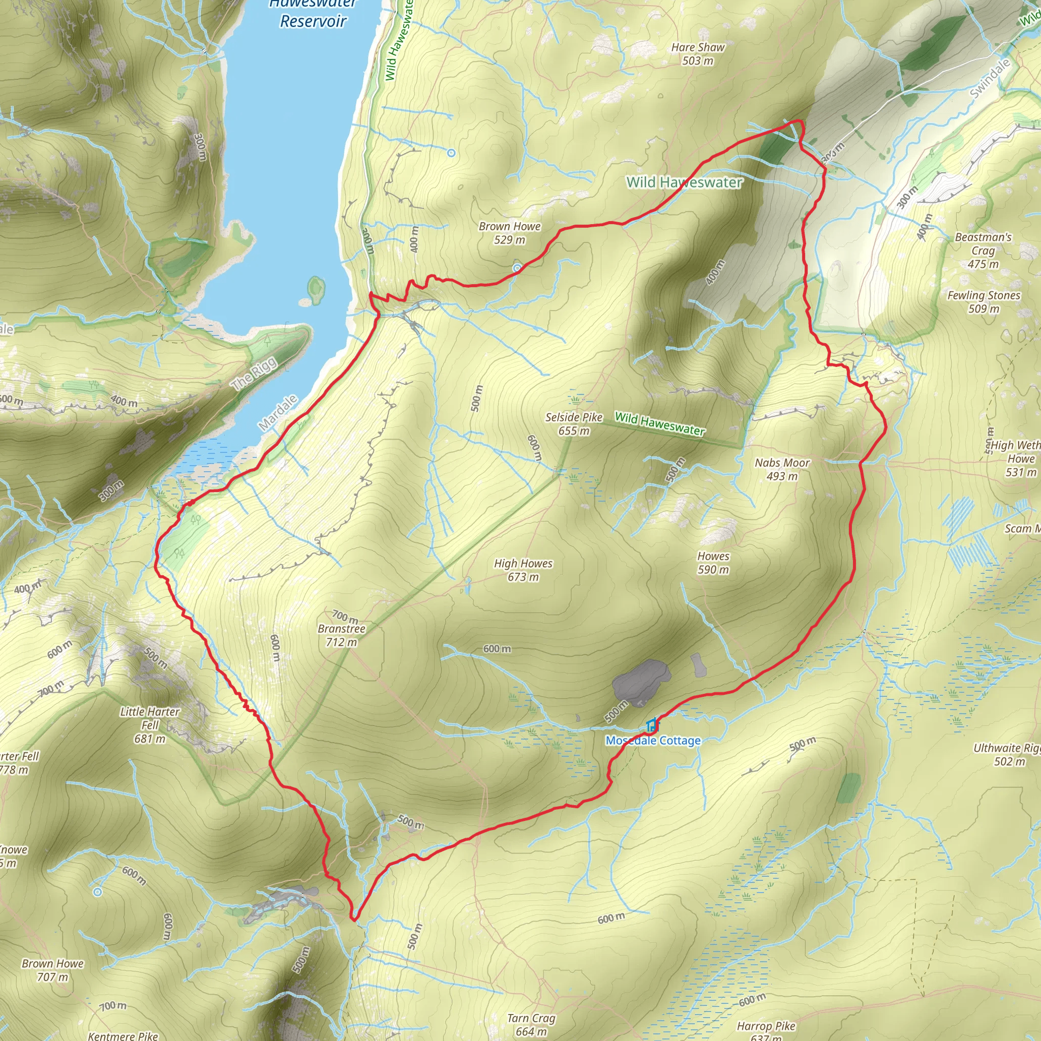
Starting near Westmorland and Furness, England, the Brownhowe Bottom, Ash Knott, and Thorny Knott Loop around Haweswater Reservoir offers a captivating 14 km (8.7 miles) journey with an elevation gain of approximately 700 meters (2,297 feet). This medium-difficulty loop trail is a perfect blend of natural beauty, historical significance, and diverse wildlife.
Getting There To reach the trailhead, you can drive or use public transport. If driving, head towards the Haweswater Reservoir area, where parking is available near the starting point. For those using public transport, the nearest significant landmark is the village of Shap, which is accessible by bus from Penrith. From Shap, a taxi or a local bus can take you closer to the trailhead.
Trail Overview The loop begins with a gentle ascent through lush woodlands, offering a serene start to your hike. As you progress, the path becomes steeper, leading you up to Brownhowe Bottom. This section is characterized by its dense forest and the occasional glimpse of the reservoir below.
Brownhowe Bottom to Ash Knott Approximately 4 km (2.5 miles) into the hike, you'll reach Brownhowe Bottom. This area is known for its rich biodiversity, including various bird species and small mammals. The trail here is well-marked but can be muddy after rain, so sturdy hiking boots are recommended.
Continuing towards Ash Knott, the trail opens up to expansive moorlands. The elevation gain becomes more noticeable, and the terrain can be rocky. At around the 7 km (4.3 miles) mark, you'll find yourself at the summit of Ash Knott. The panoramic views of the surrounding fells and the reservoir are breathtaking, making it a perfect spot for a rest and some photography.
Ash Knott to Thorny Knott Descending from Ash Knott, the trail meanders through rolling hills and patches of heather. This section is relatively easier, allowing you to enjoy the scenic beauty without much effort. At approximately 10 km (6.2 miles), you'll approach Thorny Knott. This area is historically significant, with remnants of ancient settlements and stone walls that tell tales of the region's past.
Wildlife and Flora The loop is a haven for nature enthusiasts. Keep an eye out for red deer, which are commonly seen in the area. Birdwatchers will appreciate the variety of species, including peregrine falcons and ospreys. The flora is equally diverse, with seasonal wildflowers adding splashes of color to the landscape.
Final Stretch The final 4 km (2.5 miles) of the loop take you back towards the reservoir, descending gradually through mixed woodlands. The path here is well-trodden and easy to navigate. As you near the end of the trail, the sight of Haweswater Reservoir becomes more prominent, offering a tranquil conclusion to your hike.
Navigation For navigation, it's advisable to use HiiKER, which provides detailed maps and real-time updates. This will ensure you stay on track and can fully enjoy the experience without worrying about getting lost.
This trail offers a well-rounded hiking experience, combining physical challenge with the beauty of nature and a touch of history. Whether you're an experienced hiker or someone looking to explore the great outdoors, this loop around Haweswater Reservoir is sure to leave a lasting impression.
What to expect?
Activity types
Comments and Reviews
User comments, reviews and discussions about the Brownhowe Bottom, Ash Knott and Thorny Knott Loop - Haweswater Reservoir, England.
4.0
average rating out of 5
4 rating(s)
