Black Crag, Gale Close Coppice, Man Scar, Holme fell and Lingmoor Fell Loop
Download
Preview
Add to list
More
22.6 km
~1 day 1 hrs
1194 m
Loop
“Explore diverse landscapes and stunning views on this moderately challenging 23 km Lake District loop trail.”
Starting near Westmorland and Furness in England, this 23 km (14.3 miles) loop trail offers a moderately challenging hike with an elevation gain of approximately 1100 meters (3609 feet). The trailhead is accessible by car or public transport, with the nearest significant landmark being the town of Ambleside. From Ambleside, you can take a local bus or drive to the trailhead, which is well-signposted and has parking facilities.
Black Crag The first section of the trail takes you to Black Crag, a popular viewpoint offering panoramic vistas of the surrounding Lake District. The ascent to Black Crag is gradual, covering about 4 km (2.5 miles) with an elevation gain of around 300 meters (984 feet). The path is well-trodden but can be muddy after rain, so waterproof boots are recommended. Keep an eye out for red squirrels and various bird species, including the occasional peregrine falcon.
Gale Close Coppice Continuing from Black Crag, the trail leads you through Gale Close Coppice, a dense woodland area rich in flora and fauna. This section is relatively flat and spans approximately 3 km (1.9 miles). The coppice is known for its ancient oak trees and vibrant undergrowth, making it a haven for wildlife. Look out for deer and a variety of woodland birds. The path here is narrower and can be slippery, so caution is advised.
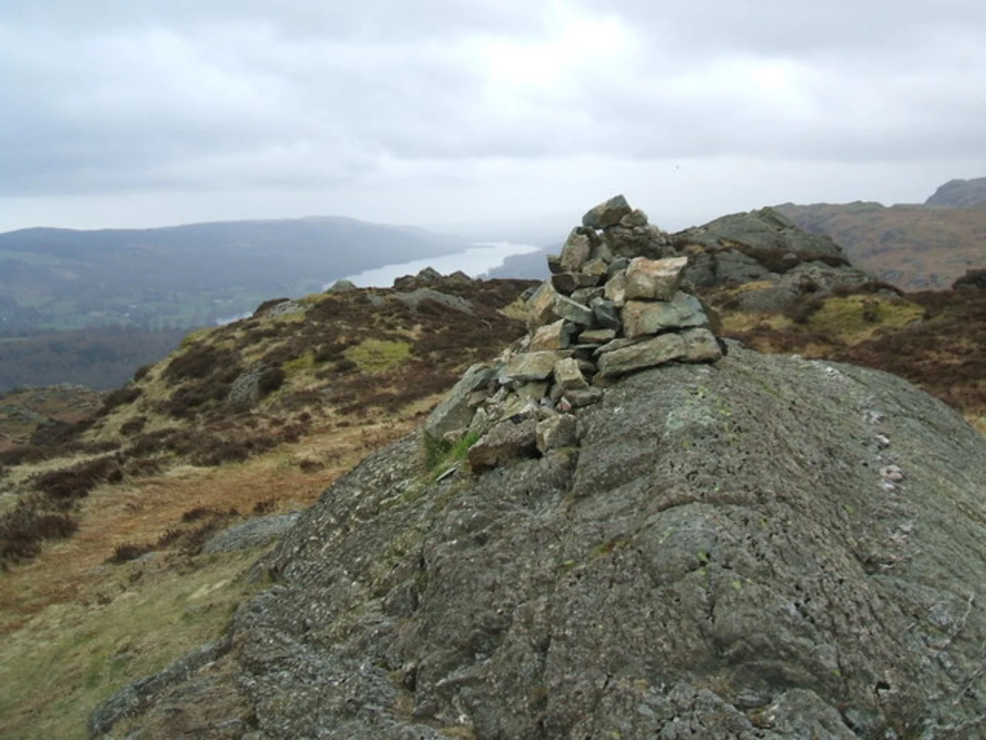
Man Scar The next significant landmark is Man Scar, a rocky outcrop offering stunning views of the surrounding fells. The climb to Man Scar is steep, with an elevation gain of about 200 meters (656 feet) over 2 km (1.2 miles). The terrain is rugged, and the path is less defined, so using a navigation tool like HiiKER is highly recommended. The effort is well worth it, as the summit provides a perfect spot for a rest and some breathtaking photography.
Holme Fell From Man Scar, the trail descends slightly before ascending again to Holme Fell. This section covers around 5 km (3.1 miles) with an elevation gain of 250 meters (820 feet). Holme Fell is known for its heather-covered slopes and small tarns, which are home to a variety of amphibians and insects. The path is rocky and uneven, so sturdy footwear is essential. Historical remnants of old mining activities can be seen here, adding a touch of history to your hike.
Lingmoor Fell The final major landmark on this loop is Lingmoor Fell. The trail to Lingmoor Fell is about 4 km (2.5 miles) long with an elevation gain of 350 meters (1148 feet). This section offers some of the most dramatic views of the hike, including vistas of the Langdale Pikes and the surrounding valleys. The path is well-marked but can be exposed to the elements, so be prepared for changing weather conditions. Lingmoor Fell is also a great spot for spotting local wildlife, including buzzards and kestrels.
Return to Trailhead The descent from Lingmoor Fell back to the trailhead covers the remaining 5 km (3.1 miles) and is mostly downhill, making for a pleasant end to the hike. The path winds through open fields and small woodlands, offering a variety of landscapes to enjoy. As you approach the trailhead, you'll pass by several traditional stone walls and farmhouses, giving you a glimpse into the rural life of the Lake District.
This loop trail offers a diverse range of landscapes, from dense woodlands and rocky outcrops to open fells and historical sites. It's a moderately challenging hike that requires good preparation, including appropriate footwear, weather-appropriate clothing, and navigation tools like HiiKER. Whether you're a seasoned hiker or a nature enthusiast, this trail provides a rewarding experience with its stunning views and rich biodiversity.

What to expect?
Activity types
Comments and Reviews
User comments, reviews and discussions about the Black Crag, Gale Close Coppice, Man Scar, Holme fell and Lingmoor Fell Loop, England.
4.0
average rating out of 5
2 rating(s)