Download
Preview
Add to list
More
14.0 km
~3 hrs 25 min
365 m
Loop
“Explore scenic villages, historic landmarks, and diverse wildlife on the moderately challenging Singleton and Charlton Loop Walk.”
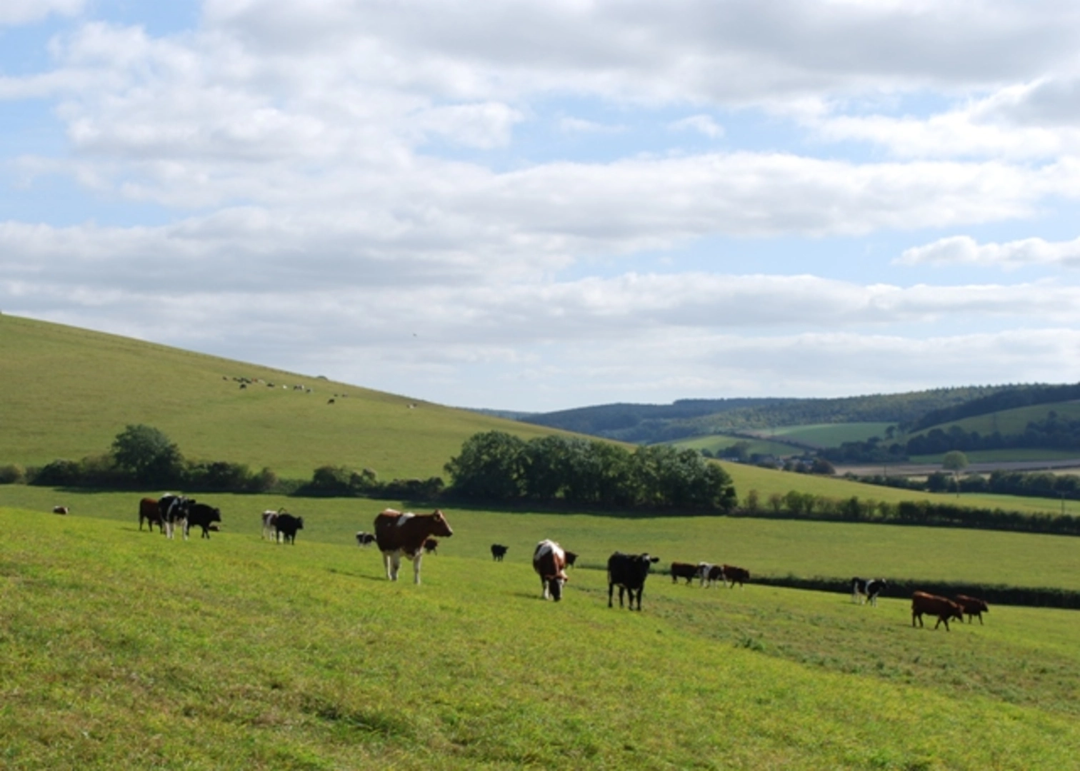
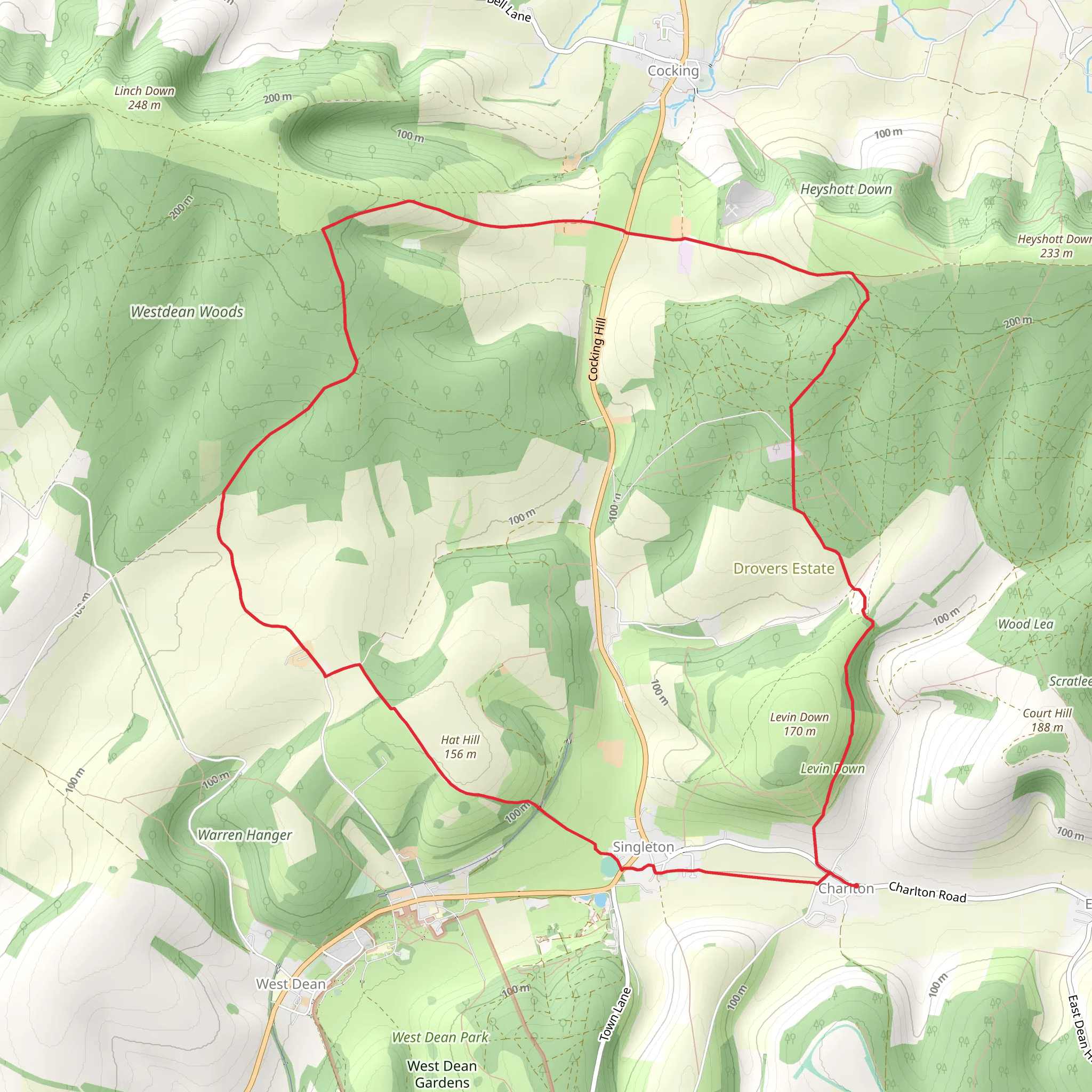
Starting near the picturesque village of Singleton in West Sussex, England, the Singleton and Charlton Loop Walk is a delightful 14 km (approximately 8.7 miles) trail with an elevation gain of around 300 meters (984 feet). This loop trail offers a medium difficulty rating, making it suitable for moderately experienced hikers.### Getting There To reach the trailhead, you can drive or use public transport. If driving, head towards Singleton, which is accessible via the A286 road. For those using public transport, the nearest railway station is Chichester. From Chichester, you can take a bus to Singleton, with services running regularly.### Trail Overview The trail begins near the village of Singleton, a charming location known for its traditional English countryside ambiance. As you set off, you'll traverse through a mix of open fields, dense woodlands, and rolling hills, providing a varied and scenic hiking experience.### Key Landmarks and Points of Interest - Singleton Village: Starting your hike in Singleton, take a moment to appreciate the historic architecture and quaint streets. The village is home to the Weald and Downland Living Museum, which showcases rural life from the 13th to the 19th centuries. - Charlton: Approximately halfway through the loop, you'll pass through Charlton, another picturesque village. Here, you can find the Fox Goes Free, a historic pub dating back to the 16th century, perfect for a rest stop. - South Downs National Park: Much of the trail runs through the South Downs National Park, offering stunning views of the rolling hills and diverse wildlife. Keep an eye out for deer, foxes, and a variety of bird species. - St. Mary’s Church: Near the trailhead in Singleton, St. Mary’s Church is worth a visit. This historic church dates back to the 11th century and features beautiful stained glass windows and ancient yew trees in the churchyard.### Trail Navigation and Terrain The trail is well-marked, but it's always a good idea to have a reliable navigation tool. HiiKER is recommended for detailed maps and real-time navigation assistance. The terrain varies from flat fields to steep inclines, particularly as you approach the higher elevations of the South Downs. The total elevation gain is around 300 meters (984 feet), with the most significant climbs occurring in the first half of the hike.### Flora and Fauna The trail offers a rich tapestry of flora and fauna. In the woodlands, you'll find ancient oak and beech trees, while the open fields are often dotted with wildflowers, especially in the spring and summer months. Wildlife enthusiasts will enjoy spotting various bird species, including skylarks and kestrels, as well as occasional sightings of deer and foxes.### Historical Significance The region is steeped in history, with evidence of human activity dating back to the Neolithic period. The South Downs have been used for agriculture for thousands of years, and the landscape is dotted with ancient barrows and earthworks. The villages of Singleton and Charlton themselves have a rich history, with many buildings dating back several centuries.### Practical Information - Distance: 14 km (8.7 miles) - Elevation Gain: 300 meters (984 feet) - Difficulty: Medium - Trail Type: Loop - Best Time to Hike: Spring to Autumn for the best weather and sceneryWhether you're a seasoned hiker or looking for a moderately challenging day out, the Singleton and Charlton Loop Walk offers a perfect blend of natural beauty, historical intrigue, and rural charm.
What to expect?
Activity types
Comments and Reviews
User comments, reviews and discussions about the Singleton and Charlton Loop Walk, England.
4.5
average rating out of 5
6 rating(s)

