Download
Preview
Add to list
More
10.9 km
~2 hrs 41 min
310 m
Loop
“Discover the Coombes Circular Path: a scenic 11 km loop through meadows, historic sites, and panoramic vistas.”
Starting near the charming village of West Sussex, England, the Coombes Circular Path is a delightful 11 km (approximately 6.8 miles) loop trail that offers a moderate challenge with an elevation gain of around 300 meters (984 feet). This trail is perfect for those looking to immerse themselves in the serene English countryside while enjoying a mix of natural beauty and historical landmarks.
Getting There To reach the trailhead, you can either drive or use public transport. If driving, set your GPS to Coombes Road, Lancing, West Sussex, BN15 0RS, which is the nearest known address. There is limited parking available near the trailhead, so arriving early is advisable. For those using public transport, the nearest train station is Lancing, which is about 3 miles (4.8 km) from the trailhead. From the station, you can take a local bus or a taxi to reach Coombes Road.
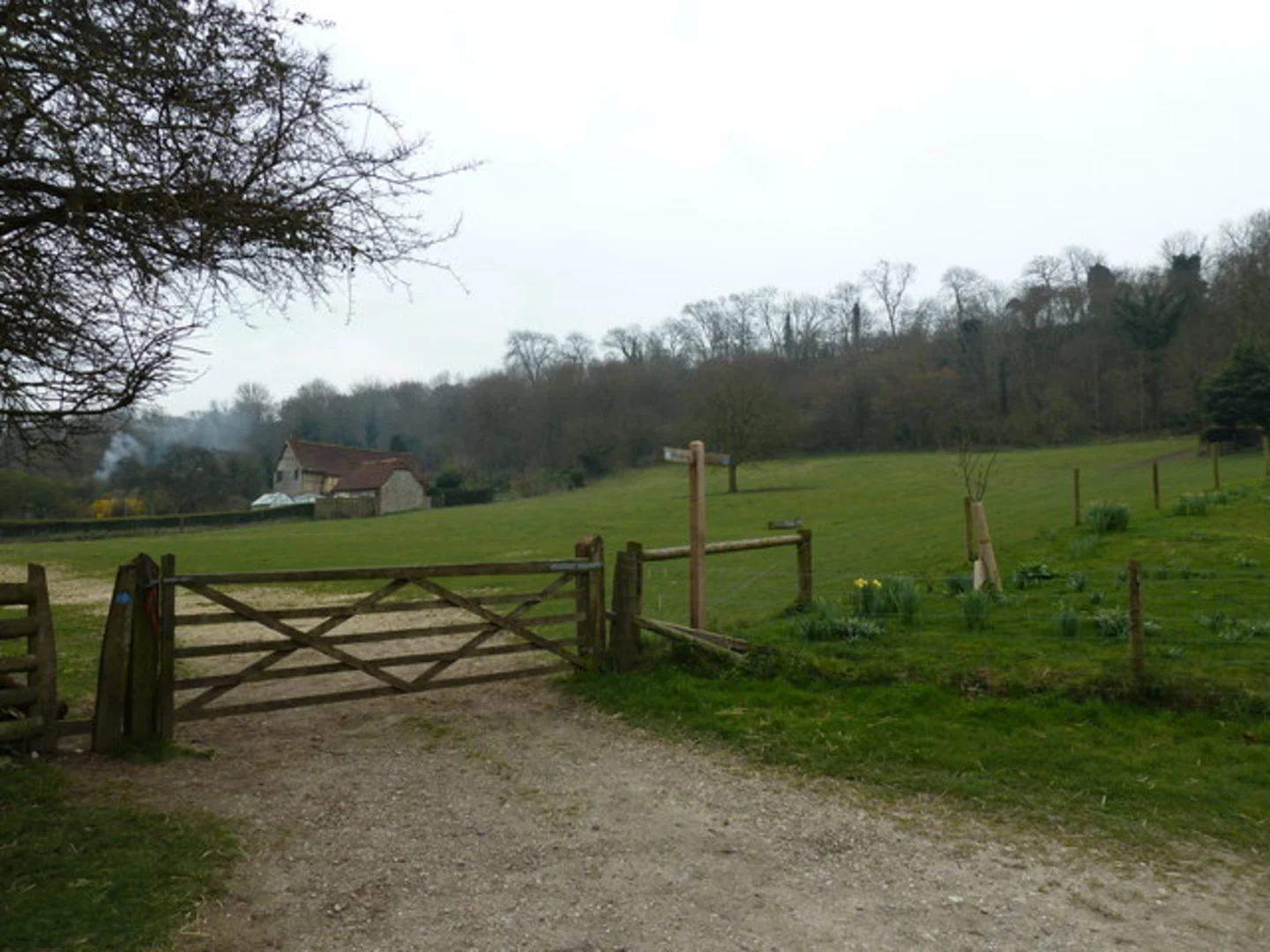
Trail Overview The Coombes Circular Path begins with a gentle ascent through lush meadows and rolling hills. Early on, you’ll pass through a picturesque section of the South Downs National Park, known for its chalk hills and diverse flora. Keep an eye out for wildflowers such as cowslips and orchids, especially in the spring and early summer months.
Historical Landmarks Around the 2 km (1.2 miles) mark, you’ll encounter the historic Coombes Church, also known as St. Botolph’s Church. This ancient Saxon church dates back to the 11th century and is renowned for its medieval wall paintings. It’s a peaceful spot to take a short break and soak in the history.
Wildlife and Nature As you continue, the trail meanders through woodlands and open fields. This area is a haven for birdwatchers, with species such as skylarks, kestrels, and buzzards frequently spotted. The woodlands are home to deer, foxes, and a variety of small mammals, so keep your camera ready.
Mid-Trail Highlights At approximately 5 km (3.1 miles), you’ll reach the highest point of the trail, offering panoramic views of the surrounding countryside. On a clear day, you can see as far as the English Channel. This section involves a steeper climb, so be prepared for a bit of a workout.
Navigation Navigating the Coombes Circular Path is straightforward, but it’s always wise to have a reliable navigation tool. The HiiKER app is highly recommended for this trail, providing detailed maps and real-time GPS tracking to ensure you stay on course.
Final Stretch The descent takes you through more open fields and past several working farms. You’ll likely encounter livestock such as sheep and cows, so be sure to close any gates behind you. The final 2 km (1.2 miles) bring you back to the starting point near Coombes Road, completing the loop.
Practical Tips - Wear sturdy hiking boots, as the trail can be muddy in sections, especially after rain. - Bring plenty of water and some snacks, as there are limited facilities along the route. - Check the weather forecast before heading out, as conditions can change rapidly. - Respect the local wildlife and stick to marked paths to preserve the natural habitat.
This trail offers a perfect blend of natural beauty, historical intrigue, and moderate physical challenge, making it a rewarding experience for hikers of all levels.

What to expect?
Activity types
Comments and Reviews
User comments, reviews and discussions about the Coombes Circular Path, England.
4.33
average rating out of 5
3 rating(s)