Download
Preview
Add to list
More
21.0 km
~4 hrs 53 min
409 m
Point-to-Point
“Embark on the Amberley to Botolphs Walk for scenic beauty, historic landmarks, and a moderate hiking challenge.”
Starting near the picturesque village of Amberley in West Sussex, England, this 21 km (approximately 13 miles) point-to-point trail offers a delightful mix of natural beauty, historical landmarks, and moderate physical challenge. With an elevation gain of around 400 meters (about 1,312 feet), the Amberley to Botolphs Walk is estimated to be of medium difficulty, making it suitable for hikers with a reasonable level of fitness.
Getting There
To reach the trailhead in Amberley, you can either drive or use public transport. If driving, Amberley is accessible via the A29 and A283 roads. For those using public transport, Amberley has a train station with regular services from London Victoria, taking roughly 1.5 hours. From the station, the trailhead is a short walk away.
Trail Overview
The trail begins in Amberley, a village known for its charming thatched cottages and the historic Amberley Castle, which dates back to the 12th century. As you set off, you'll quickly find yourself immersed in the South Downs National Park, a region celebrated for its rolling hills, chalk cliffs, and diverse wildlife.
Key Landmarks and Sections
#### Amberley to Rackham Hill
The first section of the trail takes you from Amberley to Rackham Hill, covering approximately 5 km (3.1 miles) with a gradual ascent. This part of the trail offers stunning views of the Arun Valley and the River Arun. Keep an eye out for the South Downs Way, a long-distance footpath that intersects with your route.
#### Rackham Hill to Washington
Continuing from Rackham Hill, the trail leads you towards the village of Washington, another 7 km (4.3 miles) away. This section involves a mix of open fields and wooded areas, providing a variety of landscapes. The ascent here is more noticeable, contributing to the overall elevation gain. Washington itself is a quaint village with a history dating back to the Domesday Book of 1086.
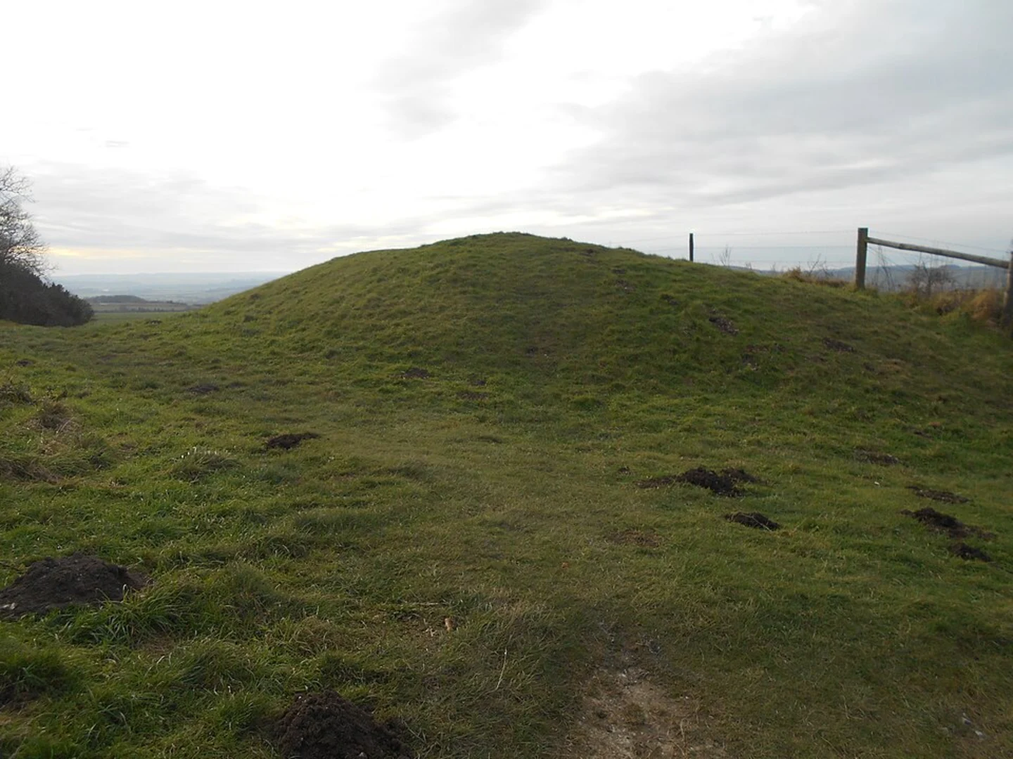
#### Washington to Chanctonbury Ring
From Washington, the trail heads towards Chanctonbury Ring, a distance of about 4 km (2.5 miles). Chanctonbury Ring is an ancient hill fort with a ring of beech trees planted in the 18th century. The site offers panoramic views of the surrounding countryside and is steeped in local folklore, adding a mystical element to your hike.
#### Chanctonbury Ring to Botolphs
The final stretch from Chanctonbury Ring to Botolphs is approximately 5 km (3.1 miles). This section is predominantly downhill, making for a pleasant end to your hike. As you approach Botolphs, you'll pass through the Adur Valley, known for its rich birdlife and scenic beauty. The village of Botolphs itself is home to the historic St. Botolph's Church, which dates back to the 11th century.
Wildlife and Nature
Throughout the hike, you'll encounter a variety of flora and fauna. The South Downs are home to species such as the skylark, kestrel, and various butterflies. The chalk grasslands are particularly rich in wildflowers, including orchids and cowslips.
Navigation
For navigation, it's highly recommended to use HiiKER, which provides detailed maps and real-time updates to ensure you stay on track. The trail is well-marked, but having a reliable navigation tool can enhance your hiking experience.
Final Tips
- Wear sturdy hiking boots, as the terrain can be uneven. - Carry sufficient water and snacks, especially since there are limited facilities along the route. - Check the weather forecast before setting out, as conditions can change rapidly in the South Downs. - Be mindful of livestock and follow the Countryside Code to respect the natural environment and local communities.
This trail offers a rewarding blend of natural beauty, historical intrigue, and physical challenge, making it a memorable experience for any hiker.

What to expect?
Activity types
Comments and Reviews
User comments, reviews and discussions about the Amberley to Botolphs Walk, England.
average rating out of 5
0 rating(s)