Download
Preview
Add to list
More
29.2 km
~1 day 1 hrs
190 m
Loop
“Explore charming villages, rolling countryside, and historical landmarks on the picturesque Ilmington, Quinton, and Crimscote Loop.”
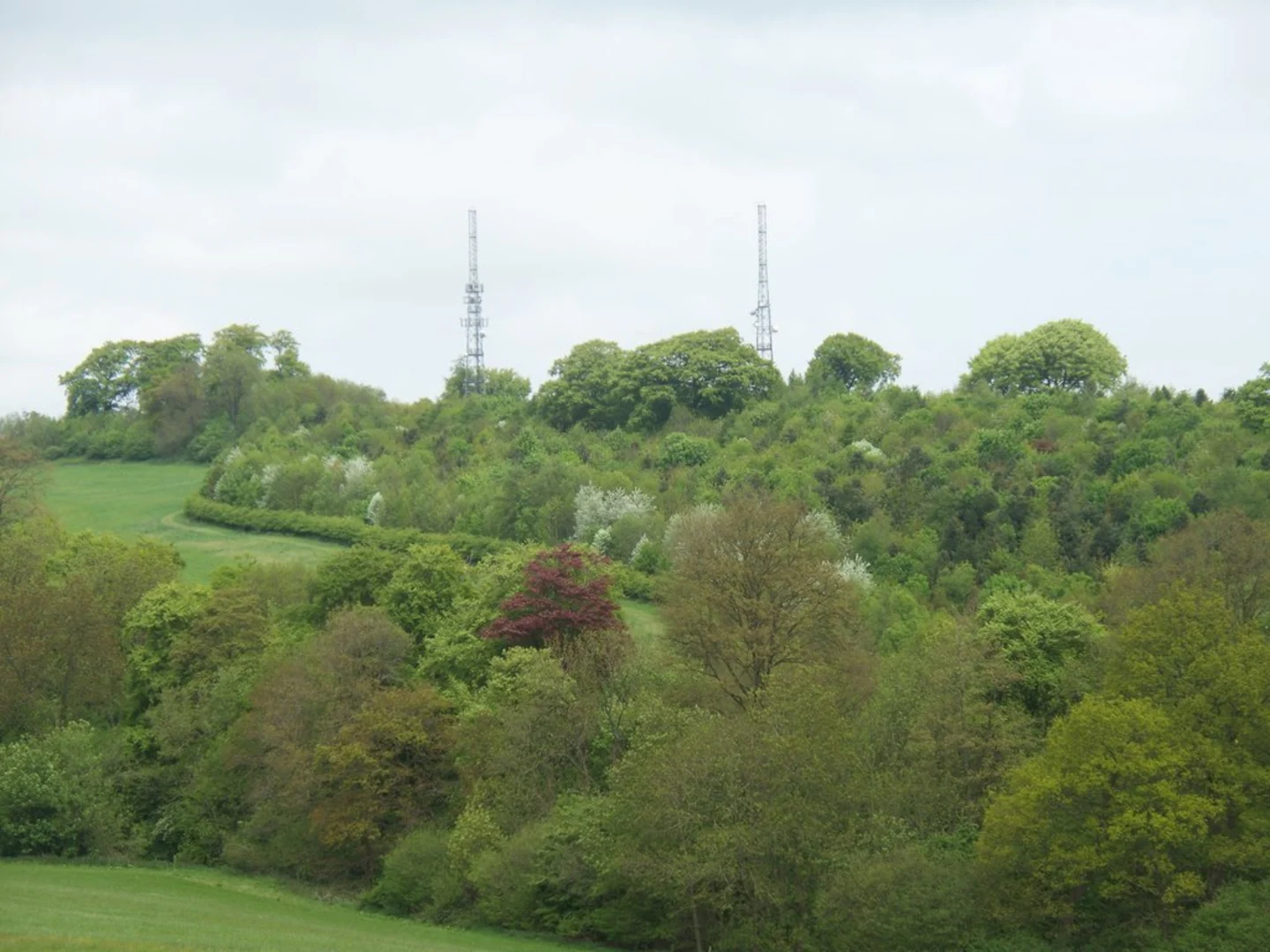
Starting near Warwickshire, England, the Ilmington, Quinton and Crimscote Loop is a picturesque 29 km (18 miles) loop trail with an elevation gain of around 100 meters (328 feet). This medium-difficulty trail offers a blend of charming villages, rolling countryside, and historical landmarks, making it a delightful experience for hikers.### Getting There To reach the trailhead, you can drive or use public transport. If driving, set your GPS to Ilmington, a quaint village in Warwickshire. For public transport, the nearest major town is Stratford-upon-Avon, which is well-connected by train and bus services. From Stratford-upon-Avon, you can take a local bus or taxi to Ilmington.### Trail Overview The loop begins in Ilmington, a village known for its honey-colored stone cottages and serene atmosphere. As you set off, you'll traverse through a mix of open fields and wooded areas, offering a variety of landscapes to enjoy.#### Ilmington to Quinton The first segment of the trail takes you from Ilmington to Quinton, covering approximately 10 km (6.2 miles). This part of the trail is relatively flat, with gentle inclines and declines. Along the way, you'll pass through lush meadows and farmland, where you might spot local wildlife such as deer, rabbits, and a variety of bird species. Keep an eye out for the historic St. Swithin's Church in Quinton, a beautiful example of medieval architecture.#### Quinton to Crimscote From Quinton, the trail continues to Crimscote, another 10 km (6.2 miles) stretch. This section features slightly more elevation gain but remains manageable for most hikers. The path meanders through scenic countryside, offering panoramic views of the surrounding hills. As you approach Crimscote, you'll notice the landscape becoming more wooded, providing a refreshing change of scenery. Crimscote itself is a small hamlet with a few historical buildings worth noting, including the Crimscote Manor.#### Crimscote to Ilmington The final leg of the loop brings you back to Ilmington, covering the remaining 9 km (5.6 miles). This section is characterized by gentle rolling hills and open fields. As you near Ilmington, you'll pass by the Ilmington Downs, the highest point in Warwickshire, offering stunning views of the Cotswolds. The descent back into Ilmington is gradual, making for a pleasant end to your hike.### Historical Significance The region is steeped in history, with many of the villages dating back to medieval times. Ilmington itself has a rich history, with records dating back to the Domesday Book of 1086. The area was historically significant for its agriculture and has retained much of its rural charm.### Navigation and Safety For navigation, it's highly recommended to use HiiKER, which provides detailed maps and real-time updates. The trail is well-marked, but having a reliable navigation tool will ensure you stay on track. Always carry sufficient water, snacks, and a basic first aid kit. Weather in this region can be unpredictable, so pack layers and waterproof gear.This trail offers a perfect blend of natural beauty, historical landmarks, and a moderate challenge, making it an ideal choice for a day hike in the English countryside.

What to expect?
Activity types
Comments and Reviews
User comments, reviews and discussions about the Ilmington, Quinton and Crimscote Loop, England.
4.5
average rating out of 5
2 rating(s)