Download
Preview
Add to list
More
6.6 km
~1 hrs 36 min
174 m
Loop
“Discover Warwickshire's peak on the historic, wildlife-rich Ilmington Down trail, rewarding hikers with panoramic Cotswolds views.”
Embarking on the Ilmington Down from Ilmington trail, you'll find yourself exploring the highest point in Warwickshire, England. This approximately 7 km (4.3 miles) loop trail offers a moderate challenge with an elevation gain of around 100 metres (328 feet), providing a satisfying workout without being too strenuous for those with some hiking experience.
Getting to the Trailhead
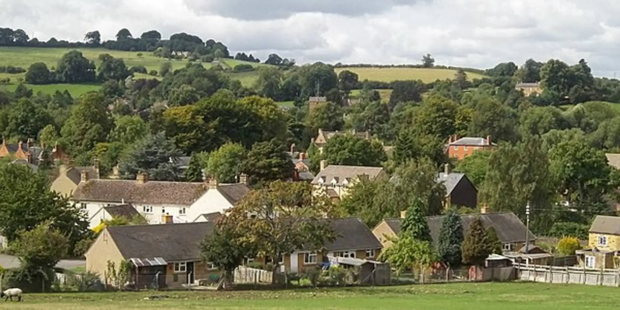
The trailhead is conveniently located near the quaint village of Ilmington, nestled in the Cotswolds. For those driving, Ilmington is accessible via local roads branching off from the A429 or the B4632. Parking can be found in the village, from where you can begin your hike. If you're using public transport, buses serve the surrounding area, and you can alight at a stop close to Ilmington, followed by a short walk to the trailhead.
The Journey Begins
As you set off from the trailhead, you'll be greeted by the charming English countryside, with its rolling hills and patchwork fields. The initial section of the trail is relatively gentle, allowing you to warm up as you take in the serene surroundings.
Historical Significance
The Cotswolds region is steeped in history, and as you hike, you'll be walking paths that have been trodden for centuries. The area is known for its ancient settlements and historical landmarks, and Ilmington Down itself offers a glimpse into the past with its Iron Age hill fort, which you'll encounter as you reach the higher elevations of the trail.
Flora and Fauna
The trail will lead you through a variety of habitats, including woodlands and open fields, which are home to an array of wildlife. Keep an eye out for birds of prey circling overhead and the rustle of small mammals in the underbrush. The area is also known for its wildflowers, especially in the spring and summer months, adding a splash of color to the green landscape.
Reaching the Summit
As you approach the summit of Ilmington Down, the trail becomes slightly steeper, and you'll feel the 100-metre elevation gain in your legs. However, the reward at the top is worth the effort. You'll be treated to panoramic views of the surrounding Cotswolds and on a clear day, you might even catch a glimpse of distant landmarks.
Navigating the Trail
For navigation, HiiKER is an excellent tool to ensure you stay on the right path. The app will help you track your progress and provide you with real-time updates on your location along the trail.
Descent and Completion
After soaking in the views, the trail loops back towards Ilmington. The descent is gentle, allowing for a leisurely pace as you complete the loop. As you make your way back to the village, take a moment to appreciate the peaceful countryside and the traditional English charm that the area exudes.
Once back in Ilmington, you can explore the village or find a local pub to enjoy some well-deserved refreshment, reflecting on the beauty and history you've experienced along the Ilmington Down from Ilmington trail.

What to expect?
Activity types
Comments and Reviews
User comments, reviews and discussions about the Ilmington Down from Ilmington, England.
average rating out of 5
0 rating(s)