Download
Preview
Add to list
More
9.4 km
~2 hrs 18 min
258 m
Loop
“Discover Surrey's scenic 9 km loop trail, blending natural beauty, history, and moderate hiking challenge.”
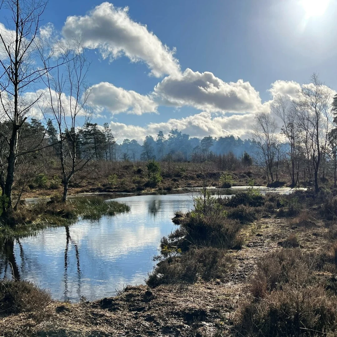
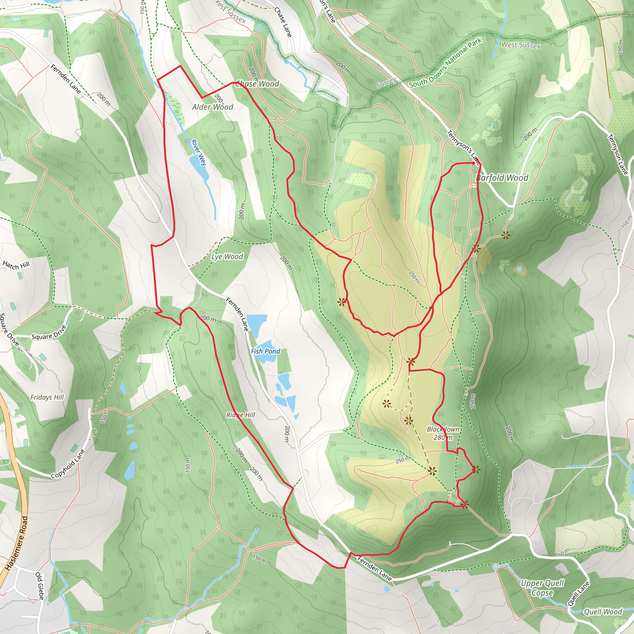
Starting near Surrey, England, this 9 km (approximately 5.6 miles) loop trail offers a delightful mix of natural beauty and historical significance. With an elevation gain of around 200 meters (656 feet), it is rated as a medium difficulty hike, making it suitable for moderately experienced hikers.### Getting There To reach the trailhead, you can either drive or use public transport. If driving, set your GPS to the nearest known address, which is the Surrey Hills Area of Outstanding Natural Beauty. For those using public transport, the nearest train station is Dorking, from where you can take a local bus or taxi to the trailhead.### Trail Overview The trail begins with a gentle ascent through Alder Wood, a serene forested area known for its lush greenery and diverse wildlife. Keep an eye out for deer and various bird species that inhabit this woodland. The first 2 km (1.2 miles) of the trail are relatively easy, with a gradual elevation gain of about 50 meters (164 feet).### Ridge Hill As you continue, the trail leads you to Ridge Hill. This section is more challenging, with a steeper incline that adds another 100 meters (328 feet) to your elevation. The effort is well worth it, as the hill offers panoramic views of the surrounding countryside. On a clear day, you can see as far as the South Downs.### Brian Checkley Memorial Viewpoint Around the 6 km (3.7 miles) mark, you'll reach the Brian Checkley Memorial Viewpoint. This spot is dedicated to Brian Checkley, a local conservationist who played a significant role in preserving the natural beauty of the area. The viewpoint offers a perfect place to rest and take in the stunning vistas. It's also an excellent spot for photography, so make sure to bring your camera.### Historical Significance The region around Surrey is steeped in history. As you hike, you'll come across remnants of ancient settlements and old farmsteads. The trail itself has been used for centuries, serving as a route for local farmers and traders. The Alder Wood area, in particular, has historical significance dating back to medieval times when it was part of a royal hunting ground.### Navigation and Safety For navigation, it's highly recommended to use the HiiKER app, which provides detailed maps and real-time updates. The trail is well-marked, but having a reliable navigation tool will ensure you stay on track. Always carry sufficient water, snacks, and a first-aid kit. The weather can be unpredictable, so dress in layers and bring a waterproof jacket.### Flora and Fauna The trail is rich in biodiversity. In Alder Wood, you'll find a variety of tree species, including oak, beech, and alder. The undergrowth is teeming with wildflowers, especially in spring and early summer. As you ascend Ridge Hill, the vegetation changes, offering a mix of heathland and grassland habitats. This diversity supports a wide range of wildlife, from small mammals to birds of prey.### Final Stretch The last 3 km (1.9 miles) of the trail take you through open fields and meadows, gradually descending back to the starting point. This section is relatively easy, allowing you to cool down and enjoy the final leg of your hike. This loop trail near Surrey offers a perfect blend of natural beauty, historical significance, and moderate physical challenge, making it a rewarding experience for any hiker.
What to expect?
Activity types
Comments and Reviews
User comments, reviews and discussions about the Ridge Hill, Alder Wood and Brian Checkley memorial Viewpoint Loop, England.
5.0
average rating out of 5
3 rating(s)

