Download
Preview
Add to list
More
21.9 km
~1 day 0 hrs
448 m
Point-to-Point
“Explore natural beauty and history on the 22 km Oxted to Otford Walk, perfect for moderate hikers.”
Starting near Surrey, England, the Oxted to Otford Walk spans approximately 22 km (13.7 miles) with an elevation gain of around 400 meters (1,312 feet). This point-to-point trail is rated as medium difficulty, making it suitable for moderately experienced hikers.
Getting There To reach the trailhead, you can take a train to Oxted Station, which is well-connected via Southern and Thameslink services from London. If you prefer to drive, there are parking facilities available near the station. The trail concludes at Otford, where you can catch a return train to London or other destinations.
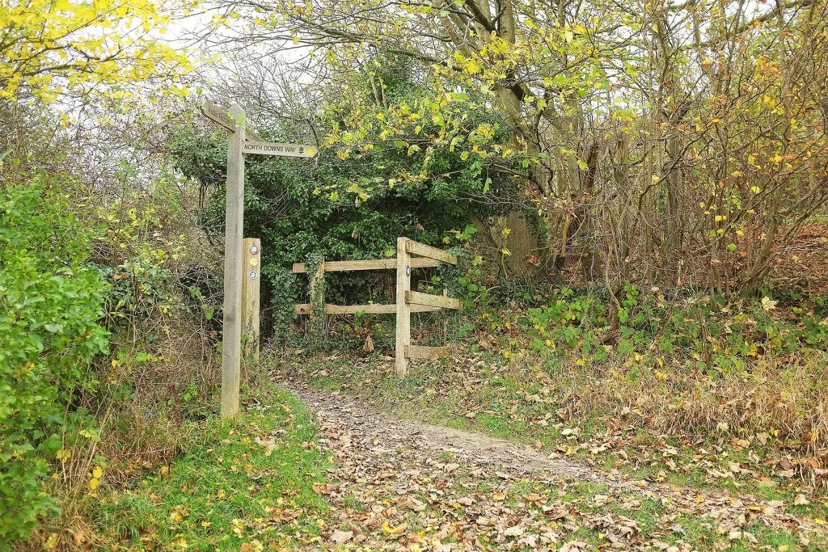
Trail Overview The trail begins in Oxted, a charming town with a rich history dating back to the Domesday Book. As you set off, you'll traverse through the North Downs, a range of chalk hills that offer stunning views and diverse flora and fauna.
Key Landmarks and Sections
#### Titsey Place and Gardens About 3 km (1.9 miles) into the hike, you'll come across Titsey Place, a historic manor house with beautifully maintained gardens. This is a great spot for a short break and some photos.
#### Botley Hill Continuing for another 4 km (2.5 miles), you'll reach Botley Hill, the highest point in Surrey at 267 meters (876 feet). The panoramic views from here are breathtaking, offering a glimpse of the surrounding countryside.
#### Pilgrims' Way Around the 10 km (6.2 miles) mark, you'll join the ancient Pilgrims' Way, a historic route that dates back to the Middle Ages. This section is particularly scenic, with rolling hills and dense woodlands.
#### Shoreham Village At approximately 16 km (10 miles), you'll pass through Shoreham, a picturesque village known for its historic buildings and the Shoreham Aircraft Museum. This is an ideal place to rest and perhaps grab a bite to eat.
Nature and Wildlife The trail is rich in biodiversity. Keep an eye out for red kites soaring above and deer grazing in the meadows. The woodlands are home to a variety of bird species, including woodpeckers and nuthatches.
Final Stretch to Otford The last 6 km (3.7 miles) of the trail take you through more woodlands and open fields before descending into Otford. The village of Otford is known for its medieval architecture and the Otford Palace, a former residence of Archbishop Thomas Cranmer.
Navigation For navigation, it's highly recommended to use the HiiKER app, which provides detailed maps and real-time updates to ensure you stay on track.
This trail offers a blend of natural beauty, historical landmarks, and moderate physical challenge, making it a rewarding experience for those who undertake it.

What to expect?
Activity types
Comments and Reviews
User comments, reviews and discussions about the Oxted to Otford Walk, England.
4.0
average rating out of 5
6 rating(s)