Download
Preview
Add to list
More
8.0 km
~1 hrs 51 min
154 m
Loop
“Explore the Limpsfield Chart Circular Walk for a scenic blend of woodland, fields, and historical landmarks.”
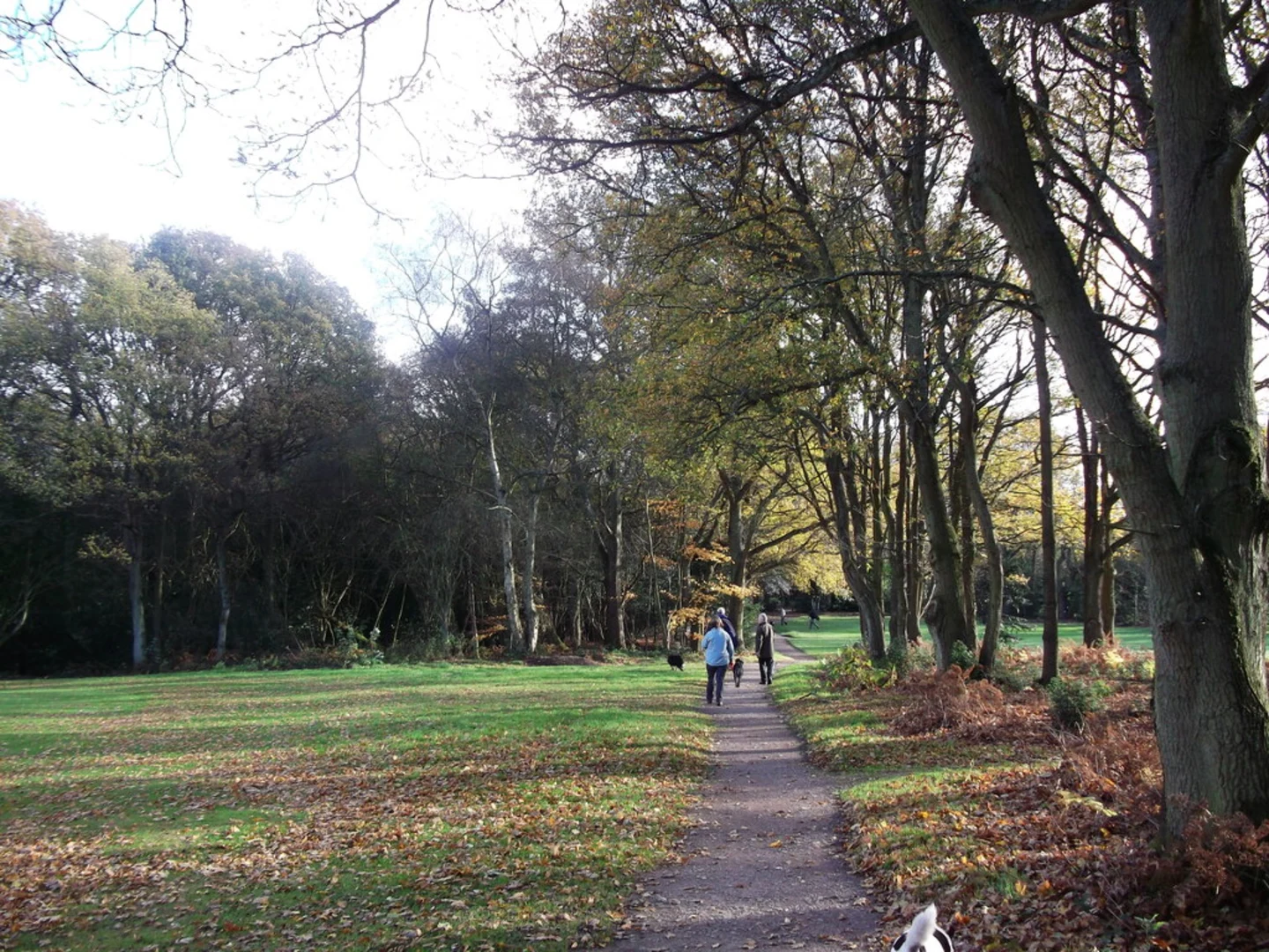
Starting near the charming village of Limpsfield in Surrey, England, the Limpsfield Chart Circular Walk is an 8 km (approximately 5 miles) loop trail with an elevation gain of around 100 meters (328 feet). This trail offers a delightful mix of woodland paths, open fields, and historical landmarks, making it a rewarding hike for those looking to explore the English countryside.### Getting There To reach the trailhead, you can drive to Limpsfield, which is easily accessible from the M25 motorway. Parking is available near the village center. If you prefer public transport, the nearest railway station is Oxted, which is about 2 miles (3.2 km) from Limpsfield. From Oxted, you can take a local bus or a taxi to the trailhead.### Trail Navigation For navigation, it's highly recommended to use the HiiKER app, which provides detailed maps and real-time updates to ensure you stay on track.### Trail Highlights#### Limpsfield Chart The trail begins by leading you into Limpsfield Chart, a beautiful area of ancient woodland managed by the National Trust. This section is rich with oak, beech, and chestnut trees, offering a serene atmosphere. Keep an eye out for the diverse birdlife, including woodpeckers and nuthatches.#### St. Peter's Church About 2 km (1.2 miles) into the hike, you'll come across St. Peter's Church, a historical gem dating back to the 12th century. The churchyard is a peaceful spot to take a short break and admire the architecture and old gravestones.#### The Greensand Way As you continue, you'll intersect with the Greensand Way, a long-distance footpath that stretches across Surrey and Kent. This section of the trail offers panoramic views of the surrounding countryside, especially beautiful in the spring and autumn months.#### The Carpenters Arms Around the halfway point, approximately 4 km (2.5 miles) in, you'll pass by The Carpenters Arms, a traditional English pub. It's a great place to stop for refreshments and enjoy some local fare. The pub is known for its cozy atmosphere and friendly service.### Flora and Fauna The trail is abundant with native flora, including bluebells in the spring and a variety of wildflowers throughout the summer. Wildlife enthusiasts might spot deer, foxes, and a variety of bird species. The diverse habitats along the trail support a rich ecosystem, making it a delightful experience for nature lovers.### Historical Significance The Limpsfield area has a rich history, with evidence of human activity dating back to the Iron Age. The village itself has retained much of its historical charm, with several buildings listed as historically significant. Walking through this area offers a glimpse into England's past, from ancient woodlands to medieval churches.### Final Stretch The last leg of the trail takes you through open fields and back into woodland before looping back to the starting point near Limpsfield. This section is relatively flat and offers a gentle end to the hike, allowing you to soak in the final views of the picturesque countryside.### Preparation Tips Given the moderate difficulty of the trail, it's advisable to wear sturdy hiking boots and bring plenty of water. The trail can be muddy in sections, especially after rain, so be prepared for varying trail conditions. Always check the weather forecast before heading out and consider using the HiiKER app for the most accurate trail information.This hike is perfect for those looking to enjoy a mix of natural beauty and historical intrigue, all within a manageable distance and elevation gain.

What to expect?
Activity types
Comments and Reviews
User comments, reviews and discussions about the Limpsfield Chart Circular Walk, England.
4.17
average rating out of 5
6 rating(s)