Download
Preview
Add to list
More
Trail length
9.7 km
Time
~2 hrs 15 min
Elevation Gain
189 m
Hike Type
Loop
“Explore Surrey's scenic 10 km Friday Street Loop, blending natural beauty, historical intrigue, and moderate challenge.”
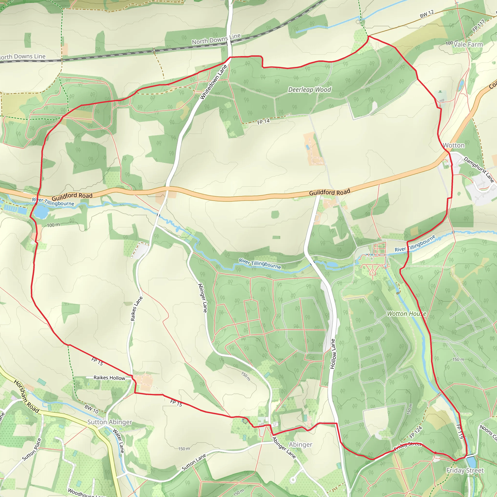
Starting near the picturesque village of Friday Street in Surrey, England, the Friday Street, Abinger and Wotton Loop is a delightful 10 km (6.2 miles) trail with an elevation gain of approximately 100 meters (328 feet). This loop trail is rated as medium difficulty, making it suitable for moderately experienced hikers.
Getting There To reach the trailhead, you can drive or use public transport. If driving, set your GPS to Friday Street, Dorking RH5 6JR, which is the nearest known address. Parking is available near the village. For those using public transport, the nearest train station is Dorking, from where you can take a local bus or taxi to Friday Street.
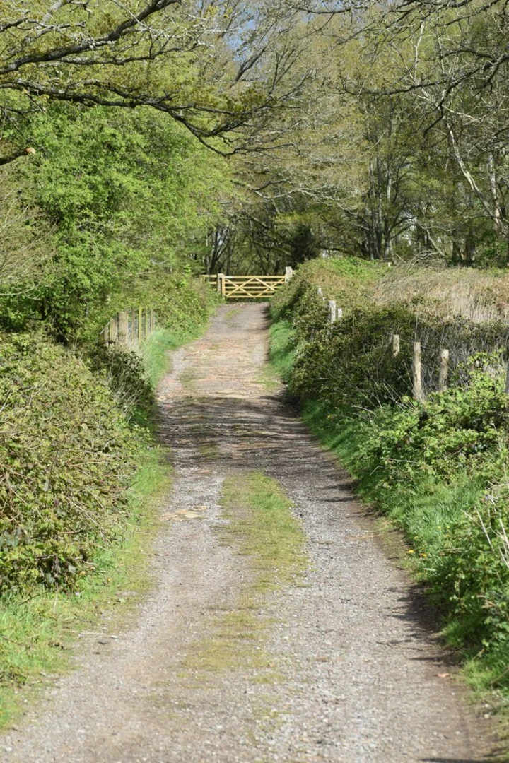
Trail Overview The trail begins in the charming village of Friday Street, known for its serene pond and traditional English cottages. As you set off, you'll be greeted by a mix of woodland paths and open fields, offering a variety of landscapes to enjoy.
Key Landmarks and Points of Interest - **Friday Street Pond**: Right at the start, this tranquil pond is a great spot for a moment of reflection or a quick photo. - **Abinger Common**: About 3 km (1.9 miles) into the hike, you'll reach Abinger Common. This area is rich in history, with evidence of Roman and Saxon settlements. The nearby St. James' Church, dating back to the 12th century, is worth a brief detour. - **Wotton House**: Approximately 6 km (3.7 miles) into the trail, you'll pass near Wotton House, a grand estate with beautifully landscaped gardens. While the house itself is private, the surrounding area offers splendid views. - **Tillingbourne River**: As you loop back towards Friday Street, you'll follow the Tillingbourne River for a short stretch. This river is home to various species of fish and birds, making it a delightful spot for nature enthusiasts.
Flora and Fauna The trail traverses through ancient woodlands and open meadows, offering a rich tapestry of flora and fauna. In spring and summer, you'll find bluebells carpeting the forest floor and a variety of wildflowers in the meadows. Keep an eye out for deer, foxes, and a plethora of bird species, including woodpeckers and owls.
Navigation and Safety Given the mix of terrains, it's advisable to use a reliable navigation tool like HiiKER to stay on track. The trail is generally well-marked, but having a digital map can be reassuring, especially in the denser woodland sections.
Elevation and Terrain The trail features a gentle elevation gain of around 100 meters (328 feet), with a few short, steep sections. The terrain varies from well-trodden paths to more rugged, uneven ground, so sturdy hiking boots are recommended.
Historical Significance The region is steeped in history, from ancient Roman roads to medieval churches. Abinger Common, in particular, has archaeological sites that date back to the Roman era, offering a glimpse into the area's long and varied past.
Final Stretch As you near the end of the loop, you'll return to Friday Street, where you can relax by the pond or visit the local pub, The Stephan Langton, for a well-deserved meal and drink. This trail offers a perfect blend of natural beauty, historical intrigue, and moderate physical challenge, making it a rewarding experience for any hiker.
What to expect?
forest
family-friendly
rivers
scenic-views
historic-landmarks
partially-paved
pub-walk
Activity types
birding
hiking
mountain-biking
running
walking
Comments and Reviews
User comments, reviews and discussions about the Friday Street, Abinger and Wotton Loop, England.
4.75
average rating out of 5
4 rating(s)

