Download
Preview
Add to list
More
6.3 km
~1 hrs 26 min
113 m
Loop
“This 6 km Surrey trail blends lush landscapes with medieval history, offering moderate challenge and rich rewards.”
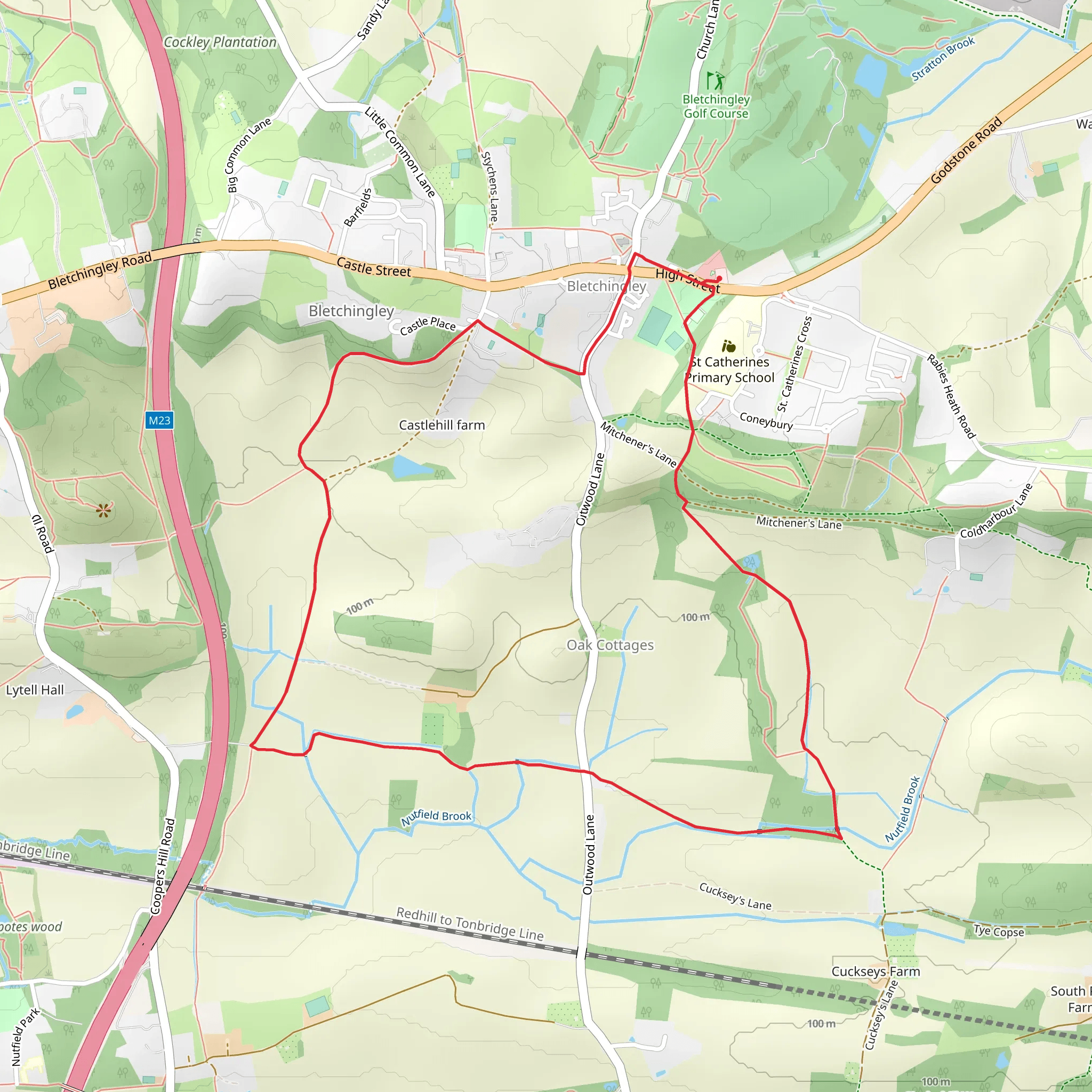
Starting near Surrey, England, this 6 km (approximately 3.7 miles) loop trail offers a delightful mix of natural beauty and historical intrigue. With an elevation gain of around 100 meters (328 feet), the trail is rated as medium difficulty, making it accessible for most hikers with a moderate level of fitness.
Getting There To reach the trailhead, you can drive or use public transport. If driving, head towards the village of Bletchingley, where you can find parking near the Bletchingley Golf Club. For those using public transport, the nearest train station is Redhill, from where you can take a local bus or taxi to Bletchingley.
Trail Overview The trail begins near the Bletchingley Golf Club, a convenient landmark for orientation. As you start your hike, you'll be greeted by the lush greenery of the Surrey countryside. The initial part of the trail is relatively flat, allowing you to ease into the hike.
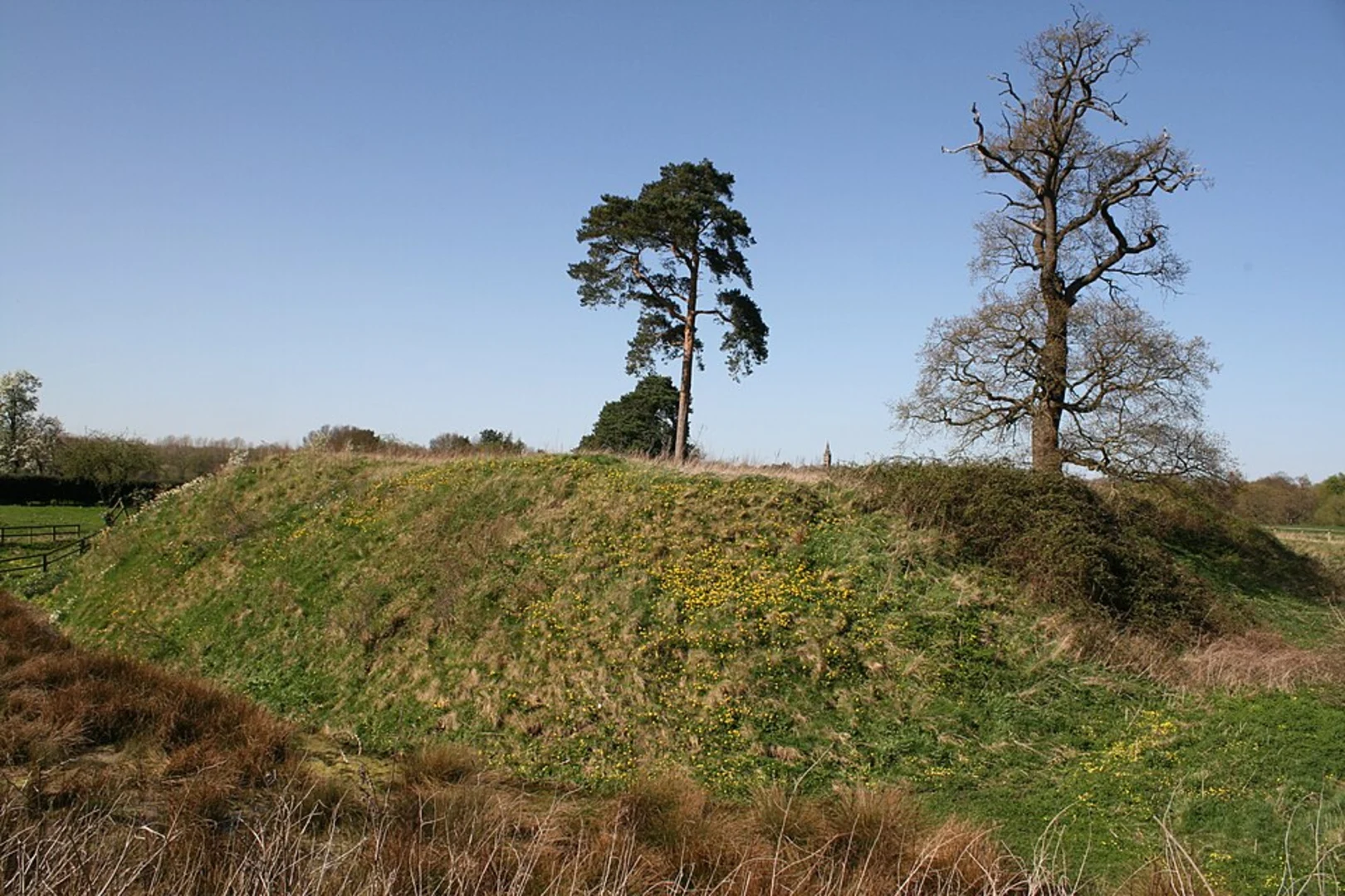
Historical Significance One of the highlights of this trail is its historical significance. Bletchingley is a village with a rich history dating back to the medieval period. As you hike, you'll pass by the ruins of Bletchingley Castle, a Norman motte-and-bailey castle built in the 12th century. Although only earthworks remain, it's a fascinating glimpse into England's feudal past.
Nature and Wildlife The trail meanders through a variety of landscapes, including woodlands, open fields, and gentle hills. Keep an eye out for local wildlife such as deer, foxes, and a variety of bird species. The woodlands are particularly enchanting in the spring when bluebells carpet the forest floor.
Navigation For navigation, it's highly recommended to use the HiiKER app, which provides detailed maps and real-time updates. This will help you stay on track, especially in areas where the trail may not be clearly marked.
Key Landmarks - **Bletchingley Castle Ruins**: Approximately 2 km (1.2 miles) into the hike, you'll come across the remnants of this historic site. - **St. Mary the Virgin Church**: Near the halfway point, this 12th-century church is worth a brief detour. Its architecture and serene churchyard offer a peaceful respite. - **Castle Hill**: As you ascend Castle Hill, the highest point of the trail, you'll gain about 100 meters (328 feet) in elevation. The views from the top are rewarding, offering panoramic vistas of the surrounding countryside.
Final Stretch The final part of the loop takes you through more open fields and back towards the village of Bletchingley. This section is relatively easy, allowing you to cool down as you make your way back to the starting point.
Practical Tips - **Footwear**: Sturdy hiking boots are recommended due to uneven terrain and potential muddy patches. - **Weather**: Check the weather forecast before heading out, as the trail can become slippery in wet conditions. - **Supplies**: Bring sufficient water and snacks, as there are no facilities along the trail.
This trail offers a perfect blend of natural beauty and historical depth, making it a rewarding experience for any hiker.
What to expect?
Activity types
Comments and Reviews
User comments, reviews and discussions about the Castle Hill and Bletchingley, England.
4.5
average rating out of 5
4 rating(s)

