Download
Preview
Add to list
More
3.2 km
~47 min
99 m
Loop
“Discover the serene beauty and historical charm of the accessible 3 km Chetwynd Coppice Loop trail.”
Starting near Staffordshire, England, the Chetwynd Coppice Loop is a delightful 3 km (approximately 1.86 miles) trail with no significant elevation gain, making it accessible for a wide range of hikers. The trailhead is conveniently located near the village of Newport, which can be reached by car or public transport. If you're driving, you can park at the designated parking area near the Chetwynd Deer Park. For those using public transport, the nearest bus stop is in Newport, from where it's a short walk to the trailhead.
Trail Overview
The Chetwynd Coppice Loop is a medium-difficulty trail that meanders through a picturesque woodland area. The trail is well-marked and forms a loop, so you will end up back where you started. The path is mostly flat, making it suitable for families and casual hikers, though the terrain can be uneven in places.
Flora and Fauna
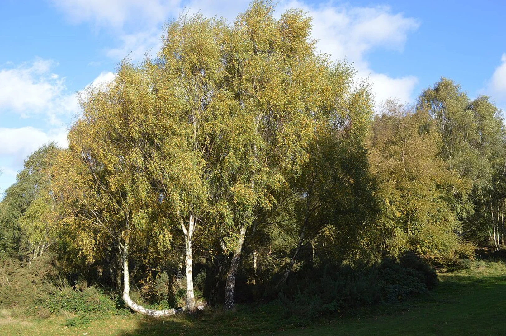
As you walk through the coppice, you'll be surrounded by a variety of native trees, including oak, ash, and beech. The undergrowth is rich with ferns, wildflowers, and shrubs, providing a lush, green backdrop. Keep an eye out for local wildlife such as deer, foxes, and a variety of bird species. The area is particularly known for its population of woodpeckers and owls, so bring your binoculars if you're a bird enthusiast.
Historical Significance
The region around Chetwynd Coppice has a rich history. The nearby Chetwynd Deer Park dates back to the medieval period and was once part of a larger estate owned by the Chetwynd family. As you hike, you may come across remnants of old stone walls and other historical features that hint at the area's past. The coppice itself has been managed for centuries, with evidence of traditional woodland management techniques like coppicing, which involves periodically cutting back trees to ground level to promote new growth.
Navigation and Landmarks
To ensure you stay on track, it's advisable to use the HiiKER app, which provides detailed maps and GPS navigation for the Chetwynd Coppice Loop. Significant landmarks along the trail include a charming wooden footbridge about 1 km (0.62 miles) into the hike, and a small pond at the 2 km (1.24 miles) mark, which is a great spot for a short break. There are also several benches along the route where you can rest and take in the serene surroundings.
Trail Conditions and Safety
The trail is generally well-maintained, but it can get muddy after rain, so waterproof hiking boots are recommended. There are no steep sections, but the path can be narrow and uneven in places. Always carry a basic first aid kit and enough water, especially during warmer months. Mobile reception can be patchy in some parts of the coppice, so it's a good idea to let someone know your plans before you set out.
Getting There
If you're driving, set your GPS to Chetwynd Deer Park, Newport, Staffordshire. For public transport users, take a bus to Newport and follow the signs to the trailhead, which is about a 15-minute walk from the bus stop. The trail is open year-round, but the best times to visit are during spring and autumn when the foliage is at its most vibrant.
Enjoy your hike through the beautiful and historically rich Chetwynd Coppice Loop!

What to expect?
Activity types
Comments and Reviews
User comments, reviews and discussions about the Chetwynd Coppice Loop, England.
5.0
average rating out of 5
1 rating(s)