Download
Preview
Add to list
More
7.5 km
~1 hrs 42 min
120 m
Loop
“Explore the River Severn and Telford T50 trail for a scenic, historic, and moderately challenging hike!”
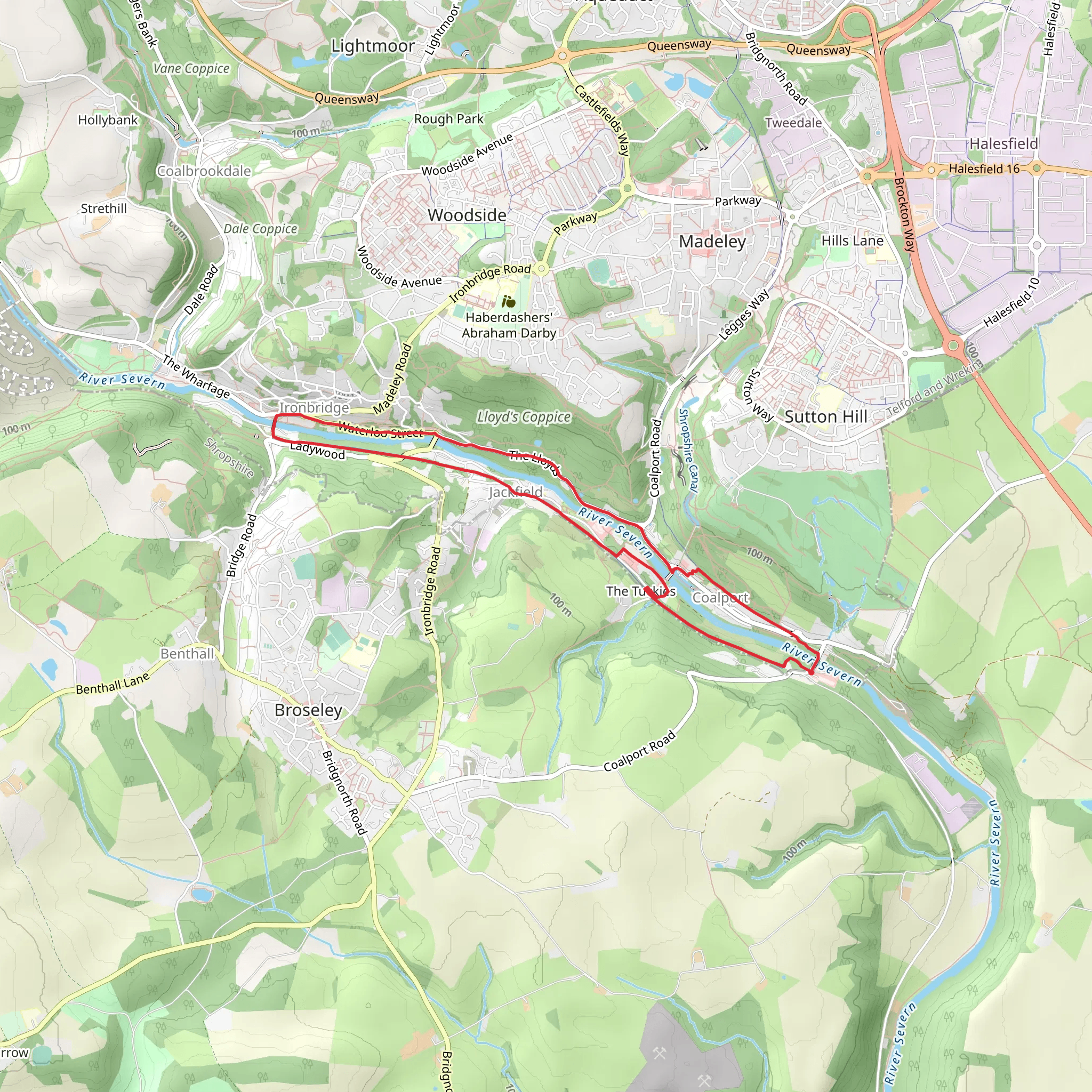
Starting near Shropshire, England, the River Severn and Telford T50 trail is a captivating loop trail that spans approximately 8 km (5 miles) with an elevation gain of around 100 meters (328 feet). This medium-difficulty hike offers a blend of natural beauty, historical landmarks, and diverse wildlife, making it a rewarding experience for hikers of all levels.
Getting There To reach the trailhead, you can drive or use public transport. If driving, set your GPS to the nearest known address: Shrewsbury, Shropshire. For those using public transport, Shrewsbury Railway Station is the closest major station, and from there, local buses or taxis can take you to the trailhead.
Trail Overview The trail begins near the picturesque town of Shrewsbury, known for its medieval architecture and vibrant history. As you start your hike, you'll follow the path along the River Severn, the longest river in the United Kingdom. The initial section is relatively flat, making it a gentle introduction to the trail.
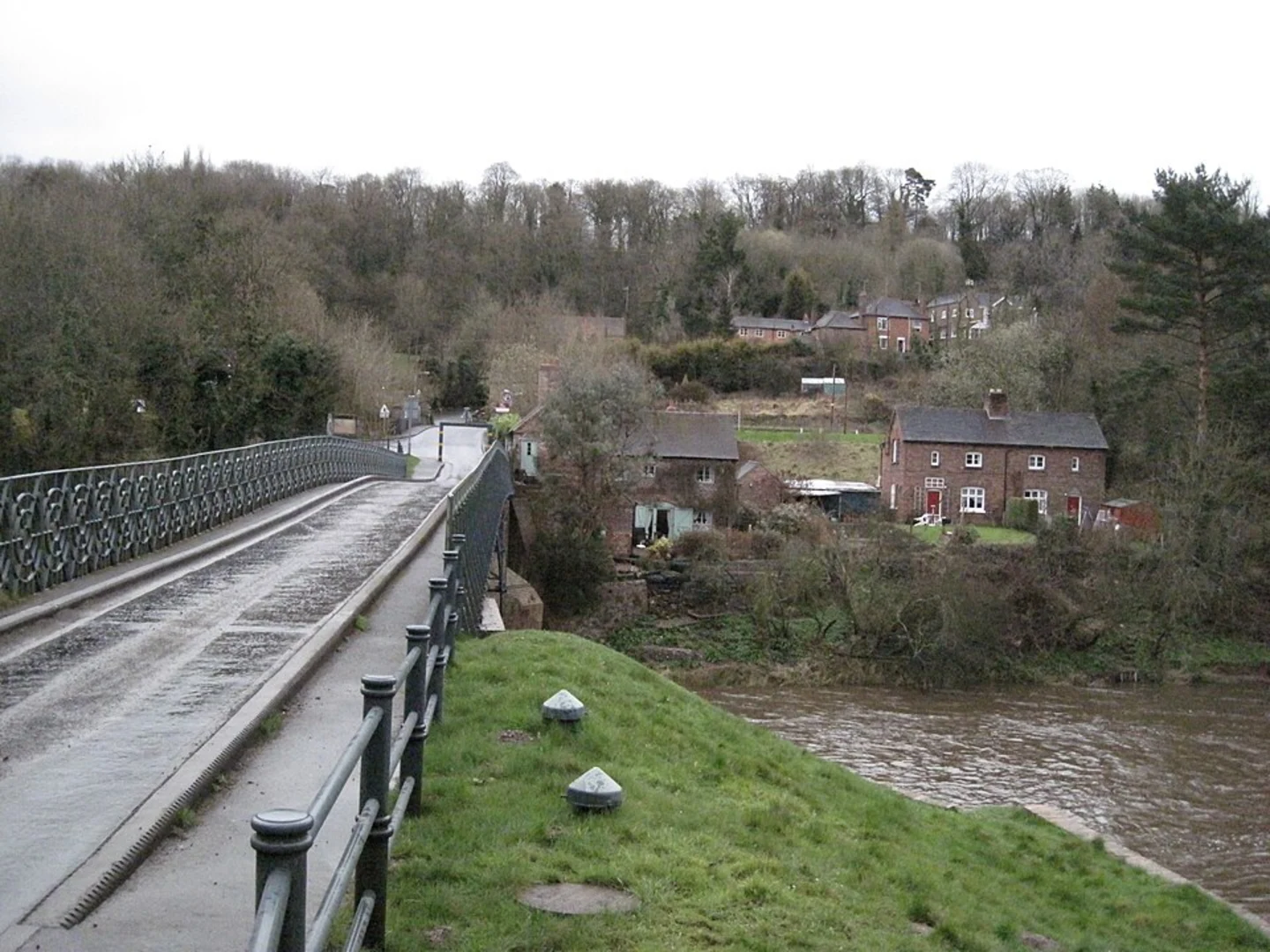
Key Landmarks and Nature Around the 2 km (1.2 miles) mark, you'll encounter the historic Iron Bridge, a UNESCO World Heritage site. This iconic structure, built in 1779, was the first major bridge in the world to be made of cast iron and is a testament to the region's industrial heritage. Take a moment to appreciate the engineering marvel and the scenic views of the river below.
Continuing along the trail, you'll pass through lush woodlands and open meadows, home to a variety of wildlife including deer, foxes, and numerous bird species. Keep an eye out for kingfishers and herons along the riverbanks.
Elevation and Terrain As you approach the halfway point, the trail begins to ascend gently, gaining approximately 50 meters (164 feet) in elevation over the next 2 km (1.2 miles). The terrain here is a mix of dirt paths and gravel, with occasional rocky sections. Good hiking boots are recommended for this part of the trail.
Historical Significance The Telford T50 section of the trail is named after Thomas Telford, a renowned civil engineer who played a significant role in the development of the region's infrastructure during the 18th and 19th centuries. You'll pass by several of his engineering feats, including aqueducts and old railway lines, which offer a glimpse into the area's rich industrial past.
Navigation and Safety For navigation, it's advisable to use the HiiKER app, which provides detailed maps and real-time updates. The trail is well-marked, but having a reliable navigation tool ensures you stay on track, especially in the more remote sections.
Final Stretch The final 2 km (1.2 miles) of the trail descends gradually back towards the river, offering stunning views of the surrounding countryside. As you near the end of the loop, you'll re-enter the outskirts of Shrewsbury, where you can explore the town's historic sites, such as Shrewsbury Castle and the Shrewsbury Abbey, before concluding your hike.
This trail offers a perfect blend of natural beauty, historical intrigue, and moderate physical challenge, making it an ideal choice for a day hike in the heart of England.
What to expect?
Activity types
Comments and Reviews
User comments, reviews and discussions about the River Severn and Telford T50, England.
average rating out of 5
0 rating(s)

