Download
Preview
Add to list
More
7.3 km
~1 hrs 38 min
116 m
Out and Back
“The Hollingworth Lake Loop is a scenic 7 km trail with serene waters, historical landmarks, and moderate difficulty.”
Starting near Rochdale, England, the Hollingworth Lake Loop is a delightful 7 km (approximately 4.3 miles) out-and-back trail with an elevation gain of around 100 meters (328 feet). This trail is rated as medium difficulty, making it suitable for moderately experienced hikers.
Getting There To reach the trailhead, you can drive or use public transport. If driving, set your GPS to Hollingworth Lake Visitor Centre, Rakewood Rd, Littleborough, Rochdale OL15 0AQ. There is ample parking available at the visitor center. For those using public transport, take a train to Littleborough Station, which is about 1.5 miles (2.4 km) from the trailhead. From the station, you can either walk or take a local bus to the visitor center.
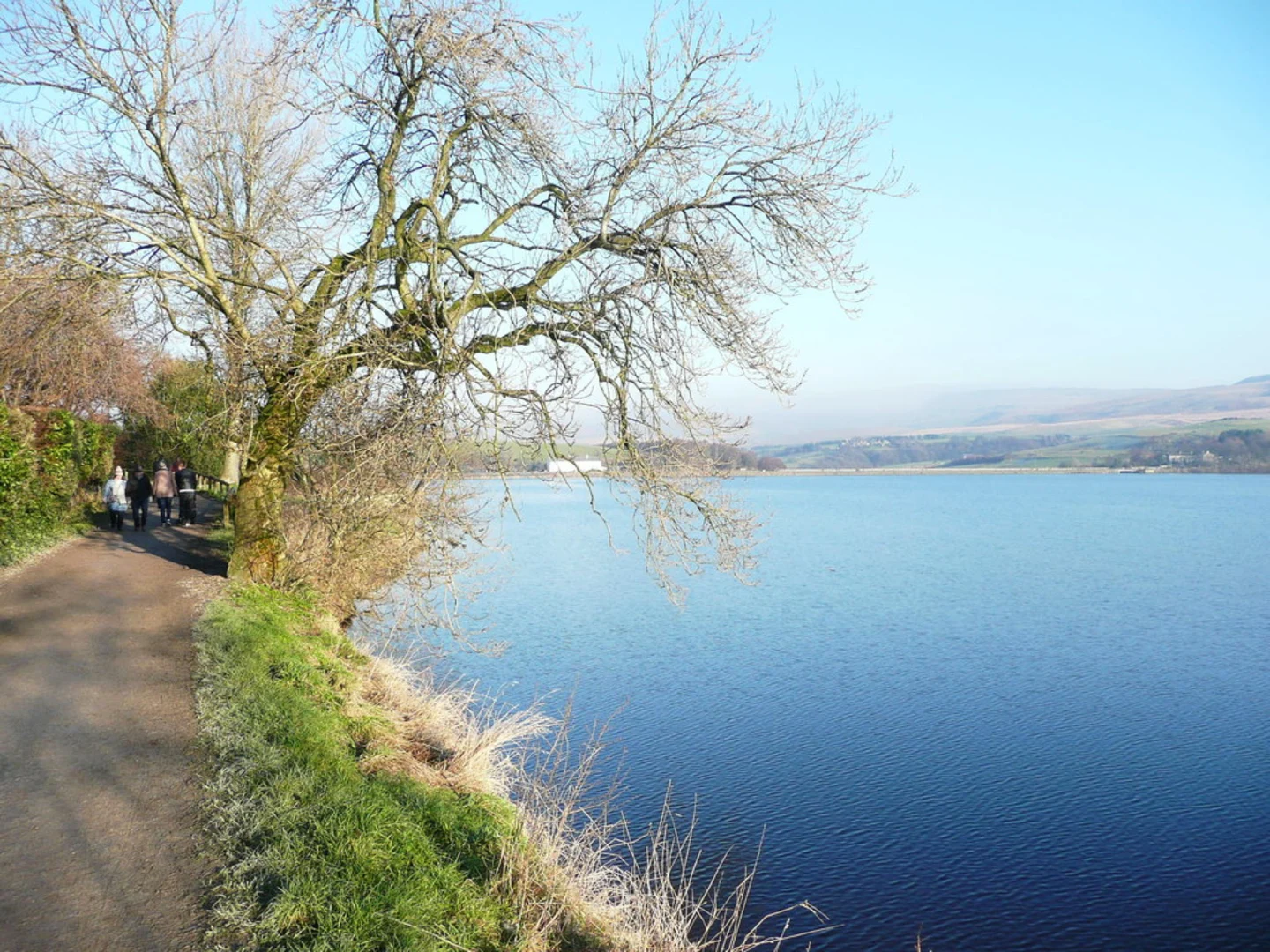
Trail Overview The trail begins at the Hollingworth Lake Visitor Centre, where you can find restrooms and a small café. As you start your hike, you'll be greeted by the serene waters of Hollingworth Lake, a man-made reservoir created in the early 19th century to supply water to the Rochdale Canal. The lake is a popular spot for sailing, rowing, and birdwatching.
Points of Interest #### Hollingworth Lake The lake itself is the centerpiece of the trail. As you walk along the well-maintained path, you'll have stunning views of the water, surrounded by rolling hills and lush greenery. Keep an eye out for various bird species, including swans, ducks, and occasionally, herons.
#### Nature and Wildlife The trail meanders through a mix of woodland and open fields, offering a diverse range of flora and fauna. In the spring and summer months, wildflowers bloom along the path, adding a splash of color to your hike. You might also spot rabbits, squirrels, and if you're lucky, a deer or two.
#### Historical Significance The area around Hollingworth Lake has a rich history. The lake was constructed in 1800 to provide water for the Rochdale Canal, which was a crucial transportation route during the Industrial Revolution. As you hike, you'll come across remnants of old mills and other historical structures that tell the story of the region's industrial past.
Trail Navigation The trail is well-marked, but it's always a good idea to have a reliable navigation tool. HiiKER is an excellent app for this purpose, providing detailed maps and real-time GPS tracking to ensure you stay on course.
Elevation and Terrain The trail features a gentle elevation gain of around 100 meters (328 feet), making it accessible for most hikers. The path is a mix of gravel and dirt, with some sections that can be muddy after rain. Good hiking boots are recommended.
Amenities and Facilities Along the trail, you'll find several benches and picnic spots where you can take a break and enjoy the scenery. The visitor center at the trailhead offers restrooms and a café, perfect for grabbing a snack or a hot drink before or after your hike.
Final Stretch As you loop back towards the visitor center, you'll have another chance to take in the beautiful views of Hollingworth Lake. The final stretch is relatively flat and easy, allowing you to finish your hike on a relaxed note.
This trail offers a perfect blend of natural beauty, historical significance, and moderate physical challenge, making it a rewarding experience for any hiker.

What to expect?
Activity types
Comments and Reviews
User comments, reviews and discussions about the Hollingworth Lake Loop, England.
4.5
average rating out of 5
2 rating(s)