Download
Preview
Add to list
More
5.1 km
~1 hrs 15 min
147 m
Out and Back
“The Linhope Burn trail offers a rewarding mix of natural beauty, wildlife, and historical intrigue.”
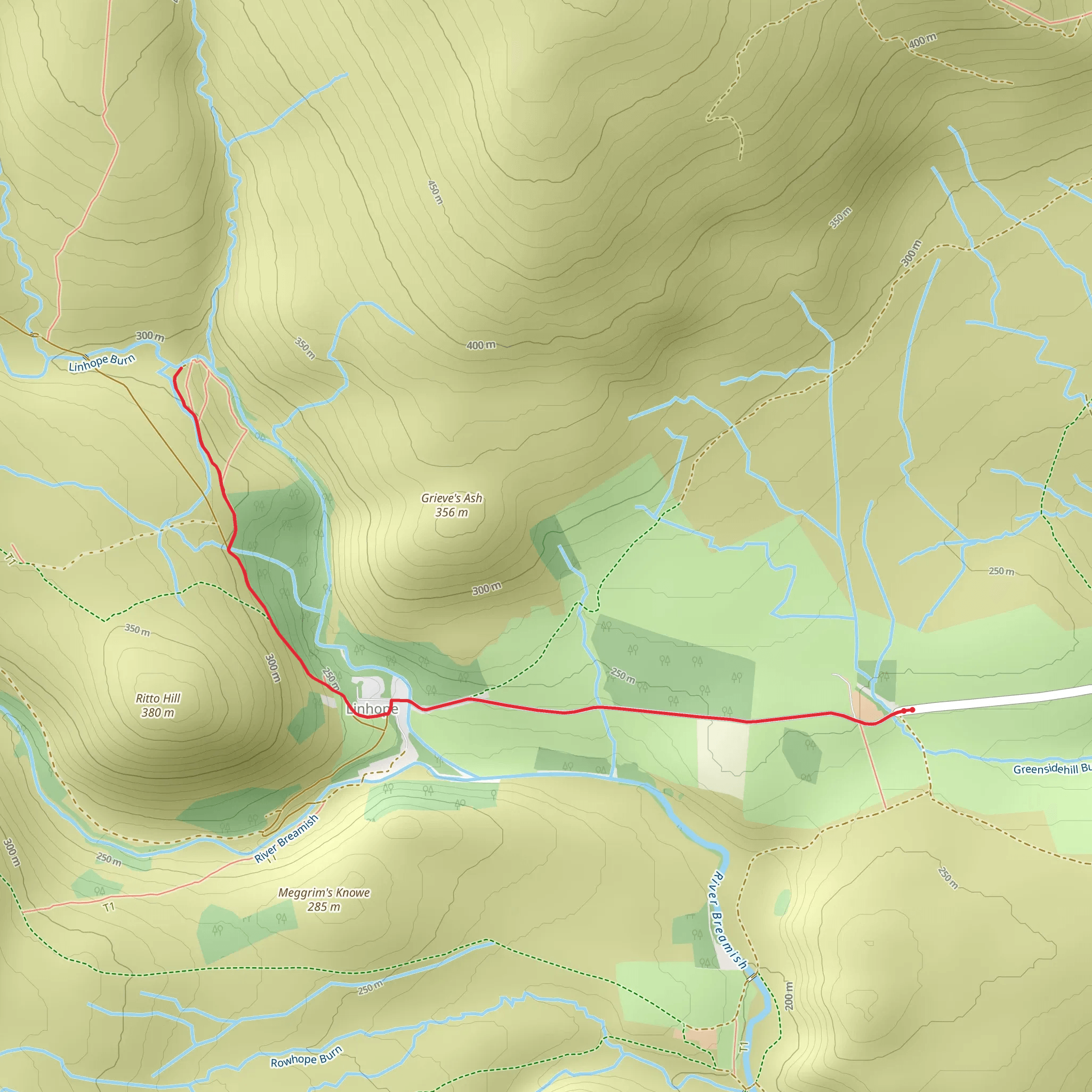
Starting near Northumberland, England, the Linhope Burn trail is an inviting out-and-back hike that spans approximately 5 km (3.1 miles) with an elevation gain of around 100 meters (328 feet). This medium-difficulty trail offers a delightful mix of natural beauty and historical intrigue, making it a rewarding experience for hikers of various skill levels.
Getting There
To reach the trailhead, you can drive or use public transport. If driving, head towards the village of Ingram in Northumberland. From Ingram, follow the signs to Linhope, where you can park near the Linhope Spout waterfall. For those using public transport, the nearest major town is Alnwick, which is well-connected by bus services. From Alnwick, you can take a local bus to Ingram and then a short taxi ride to the trailhead.
Trail Overview
The trail begins near the picturesque village of Linhope, leading you through a serene landscape characterized by rolling hills and lush greenery. The initial part of the hike is relatively flat, making it an excellent warm-up as you traverse through open fields and alongside the tranquil Linhope Burn stream.
Significant Landmarks
#### Linhope Spout Waterfall
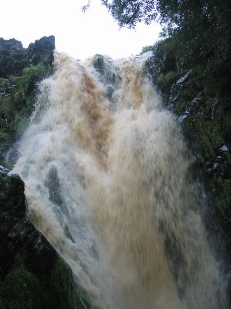
Approximately 1.5 km (0.9 miles) into the hike, you will encounter the Linhope Spout waterfall, a stunning 18-meter (59-foot) cascade that plunges into a deep, clear pool. This is a perfect spot for a short break, allowing you to take in the natural beauty and perhaps even dip your toes in the refreshing water.
#### Wildlife and Flora
As you continue along the trail, keep an eye out for the diverse wildlife that inhabits the area. You might spot red squirrels, roe deer, and a variety of bird species, including the elusive peregrine falcon. The flora is equally impressive, with seasonal wildflowers adding splashes of color to the landscape.
Historical Significance
The region around Linhope Burn is steeped in history. The nearby Ingram Valley has been inhabited since prehistoric times, with numerous archaeological sites, including ancient hill forts and burial mounds. As you hike, you may come across remnants of these historical landmarks, offering a glimpse into the area's rich past.
Navigation and Safety
Given the trail's moderate difficulty, it's advisable to use a reliable navigation tool like HiiKER to ensure you stay on course. The path is generally well-marked, but having a digital map can be invaluable, especially in areas where the trail may become less distinct.
Final Stretch
The final stretch of the hike involves a gentle ascent, bringing you to a vantage point that offers panoramic views of the surrounding countryside. This is a great spot to pause and appreciate the natural beauty before retracing your steps back to the trailhead.
Practical Tips
- Wear sturdy hiking boots, as the terrain can be uneven in places. - Bring plenty of water and snacks, especially if you plan to spend time exploring the waterfall area. - Check the weather forecast before setting out, as conditions can change rapidly in this region. - Be mindful of local wildlife and follow Leave No Trace principles to preserve the natural environment.
The Linhope Burn trail offers a perfect blend of natural beauty, wildlife, and historical intrigue, making it a must-visit for any hiking enthusiast exploring Northumberland.
What to expect?
Activity types
Comments and Reviews
User comments, reviews and discussions about the Linhope Burn, England.
4.5
average rating out of 5
2 rating(s)

