Download
Preview
Add to list
More
11.5 km
~2 hrs 58 min
413 m
Out and Back
“The High Cantle trail in Northumberland offers an invigorating hike with stunning views and rich historical landmarks.”
Starting near Northumberland, England, the High Cantle trail offers an invigorating 11 km (approximately 6.8 miles) out-and-back hike with an elevation gain of around 400 meters (about 1,312 feet). This medium-difficulty trail is perfect for those looking to immerse themselves in the natural beauty and historical richness of the region.
Getting There To reach the trailhead, you can drive or use public transport. If driving, set your GPS to the nearest known address: Alwinton, Northumberland, NE65 7BQ. For those using public transport, the nearest major town is Alnwick, from where you can take a bus to Alwinton. From Alwinton, it's a short walk to the trailhead.
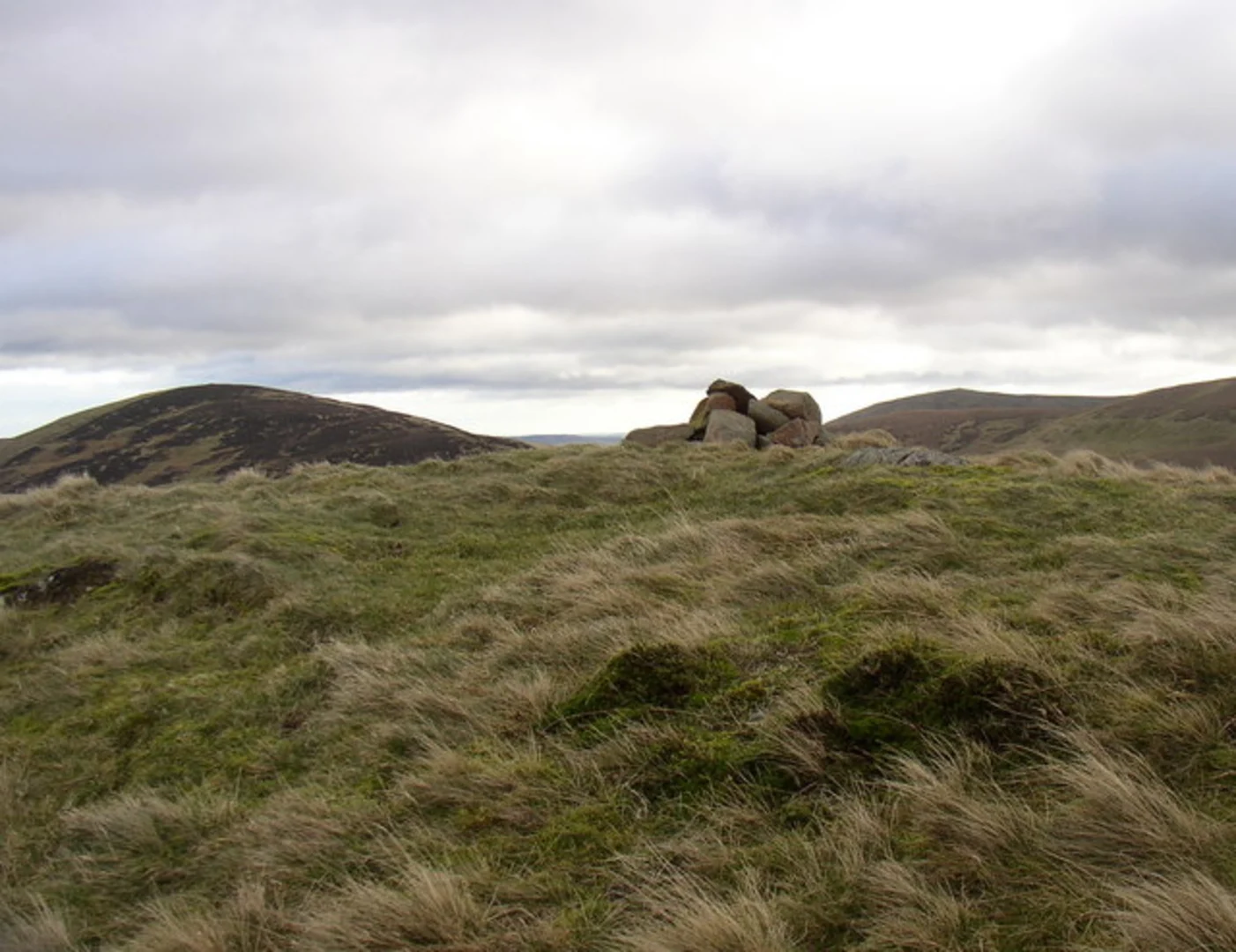
Trail Overview The trail begins with a gentle ascent through lush meadows and rolling hills, offering panoramic views of the Northumberland National Park. As you progress, the path becomes steeper, leading you through dense woodlands and past babbling brooks. Keep an eye out for local wildlife, including red squirrels, roe deer, and a variety of bird species.
Significant Landmarks At approximately 3 km (1.86 miles) into the hike, you'll encounter the remnants of an old shepherd's hut, a testament to the area's pastoral history. This is a great spot to take a short break and enjoy the surrounding scenery.
Continuing on, around the 5 km (3.1 miles) mark, you'll reach the highest point of the trail. Here, the elevation gain of 400 meters (1,312 feet) rewards you with breathtaking views of the Cheviot Hills and the Scottish Borders. This vantage point is ideal for photography and offers a moment of tranquility before you begin your descent.
Historical Significance The region is steeped in history, with evidence of ancient settlements and Roman forts. The trail itself passes near the site of an old Roman road, which once connected the northern reaches of the Roman Empire. As you hike, imagine the legions of soldiers who once traversed these lands.
Navigation and Safety For navigation, it's highly recommended to use the HiiKER app, which provides detailed maps and real-time updates. The trail is well-marked, but weather conditions can change rapidly, so always be prepared with appropriate gear.
Flora and Fauna The trail is a haven for nature enthusiasts. In spring and summer, the meadows are awash with wildflowers, including bluebells and foxgloves. The woodlands are home to ancient oaks and birches, providing a habitat for a diverse range of wildlife.
Final Stretch As you make your way back, the descent offers a different perspective of the landscape, with the late afternoon sun casting long shadows over the hills. The return journey allows you to appreciate the trail's beauty from a new angle, making the entire hike a fulfilling experience.
Whether you're a seasoned hiker or a nature lover, the High Cantle trail offers a perfect blend of physical challenge, natural beauty, and historical intrigue.
What to expect?
Activity types
Comments and Reviews
User comments, reviews and discussions about the High Cantle, England.
4.33
average rating out of 5
3 rating(s)

