Download
Preview
Add to list
More
5.7 km
~1 hrs 31 min
236 m
Loop
“Explore a 6 km loop trail in North Yorkshire, rich in waterfalls, history, and panoramic views.”
Starting near North Yorkshire, England, this 6 km (approximately 3.7 miles) loop trail offers a delightful mix of natural beauty and historical intrigue. With an elevation gain of around 200 meters (656 feet), the trail is rated as medium difficulty, making it accessible for most hikers with a moderate level of fitness.
Getting There To reach the trailhead, you can drive or use public transport. If driving, head towards the village of Keld, which is the nearest significant landmark. There is parking available near the village. For those using public transport, the nearest major town is Richmond, from where you can catch a bus to Keld. The bus services are relatively frequent, but it’s advisable to check the latest schedules.
Trail Highlights
#### Wain Wath Force Starting from Keld, the first major landmark you’ll encounter is Wain Wath Force, a picturesque waterfall on the River Swale. This spot is perfect for a quick rest and some photography. The waterfall is particularly stunning after a period of rain, when the water flow is more robust.
#### Currack Force Continuing along the trail, you’ll come across Currack Force. This waterfall is less well-known but equally captivating. The surrounding area is lush with greenery, and you might spot some local wildlife, including various bird species and small mammals.
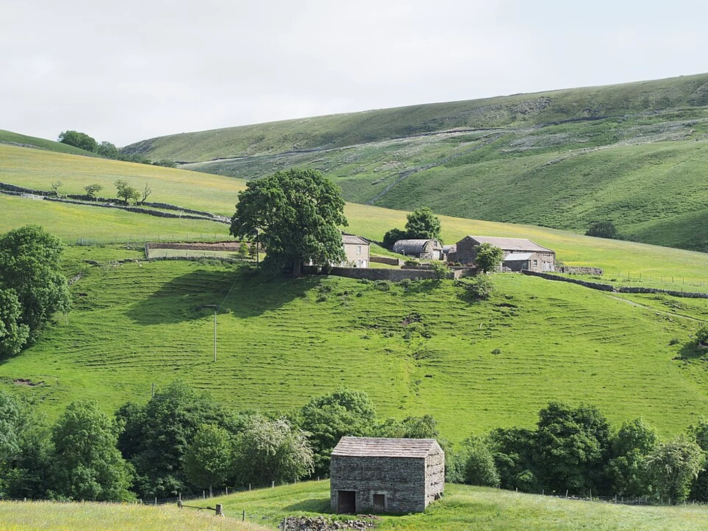
#### Beldi Hill As you ascend Beldi Hill, you’ll gain most of the trail’s elevation. The climb is steady but manageable, offering panoramic views of the surrounding countryside. The hill is dotted with ancient stone walls and remnants of old farming practices, giving you a glimpse into the region’s agricultural history.
#### East Gill Force Descending from Beldi Hill, you’ll reach East Gill Force, another beautiful waterfall. This area is a great spot for a longer break, perhaps even a picnic. The waterfall is surrounded by woodland, providing a serene atmosphere.
Historical Significance The region around Keld has a rich history, with evidence of human activity dating back to the Iron Age. The stone walls and old farm buildings you’ll see along the trail are remnants of a time when the area was more heavily farmed. The village of Keld itself has historical significance, with its roots in the lead mining industry that once thrived in the Yorkshire Dales.
Navigation and Safety For navigation, it’s highly recommended to use HiiKER, which provides detailed maps and real-time GPS tracking. The trail is well-marked, but having a reliable navigation tool will ensure you stay on course. Always check the weather forecast before setting out, as conditions can change rapidly in this region.
Flora and Fauna The trail is rich in biodiversity. You’ll walk through meadows filled with wildflowers in the spring and summer, and the woodlands are home to various bird species, including the elusive redstart. Keep an eye out for small mammals like rabbits and hedgehogs, especially in the early morning or late afternoon.
This loop trail offers a perfect blend of natural beauty, historical intrigue, and moderate physical challenge, making it a rewarding experience for any hiker.

What to expect?
Activity types
Comments and Reviews
User comments, reviews and discussions about the Wain Wath Force, Currack Force, Beldi Hill and East Gill Force Loop, England.
average rating out of 5
0 rating(s)