Download
Preview
Add to list
More
18.6 km
~3 hrs 59 min
162 m
Loop
“"Discover North Yorkshire's serene beauty and rich history on the scenic, accessible Nunnington and Harome trail."”
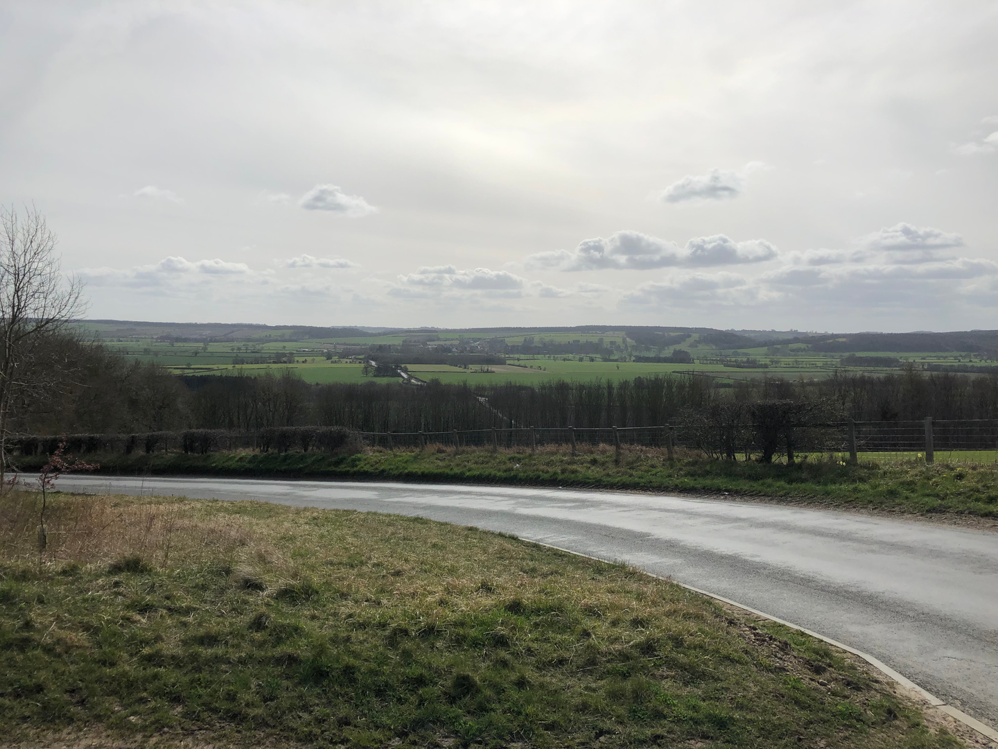
Embarking on the Nunnington and Harome trail from Oswaldkirk, hikers can expect a delightful journey through the picturesque landscapes of North Yorkshire, England. This approximately 19 km (nearly 12 miles) loop trail offers a gentle elevation gain of around 100 meters (328 feet), making it accessible for hikers of all skill levels.
Getting to the Trailhead
The trailhead is conveniently located near Oswaldkirk, a small village in North Yorkshire. For those arriving by car, parking can be found in the vicinity of the village. Public transport users can catch local buses that service the area, alighting at a stop closest to Oswaldkirk, from where the trail can be easily accessed.
The Journey Begins
Setting out from the trailhead, hikers will meander through a mix of quiet country lanes, field paths, and woodland tracks. The initial stretch of the trail is relatively flat, allowing walkers to warm up as they take in the serene surroundings.
Historical Landmarks and Scenic Views
As the trail progresses, one will encounter the charming village of Nunnington. Here, the Nunnington Hall, a picturesque country house managed by the National Trust, stands as a testament to the region's rich history. The hall is well worth a visit, with its organic gardens and art exhibitions adding cultural depth to the hiking experience.
Continuing on, the trail leads to the quaint village of Harome, where the thatched Star Inn, a historic pub dating back to the 14th century, offers a glimpse into the area's past. Harome is also a perfect spot for a rest and perhaps a meal, depending on the time of day.
Nature and Wildlife
Throughout the hike, the natural beauty of the North Yorkshire countryside is on full display. The trail offers opportunities to spot local wildlife, including a variety of bird species that inhabit the hedgerows and fields. The changing seasons bring different flora to life, with vibrant wildflowers in spring and summer, and rich, golden hues in the autumn.
Navigating the Trail
For navigation, hikers can rely on the HiiKER app, which provides detailed maps and GPS tracking to ensure a smooth journey along the trail. It's advisable to download the map beforehand in case of limited mobile reception in the more remote areas.
Preparing for the Hike
Before setting out, hikers should be prepared with appropriate footwear for the mixed terrain, as well as water and snacks for the journey. The weather in North Yorkshire can be changeable, so layered clothing and waterproof gear are recommended. As the trail is a loop, hikers will finish where they started, making it convenient for returning to their mode of transport.
This trail offers a wonderful opportunity to explore the natural and historical beauty of North Yorkshire, with its easy grade making it a pleasant outing for hikers looking to enjoy a day in the countryside.

What to expect?
Activity types
Comments and Reviews
User comments, reviews and discussions about the Nunnington and Harome from Oswaldkirk, England.
4.5
average rating out of 5
2 rating(s)