Download
Preview
Add to list
More
18.3 km
~4 hrs 11 min
323 m
Point-to-Point
“Embark on an 18 km trail from Hovingham to Malton, blending natural beauty, historical landmarks, and moderate challenge.”
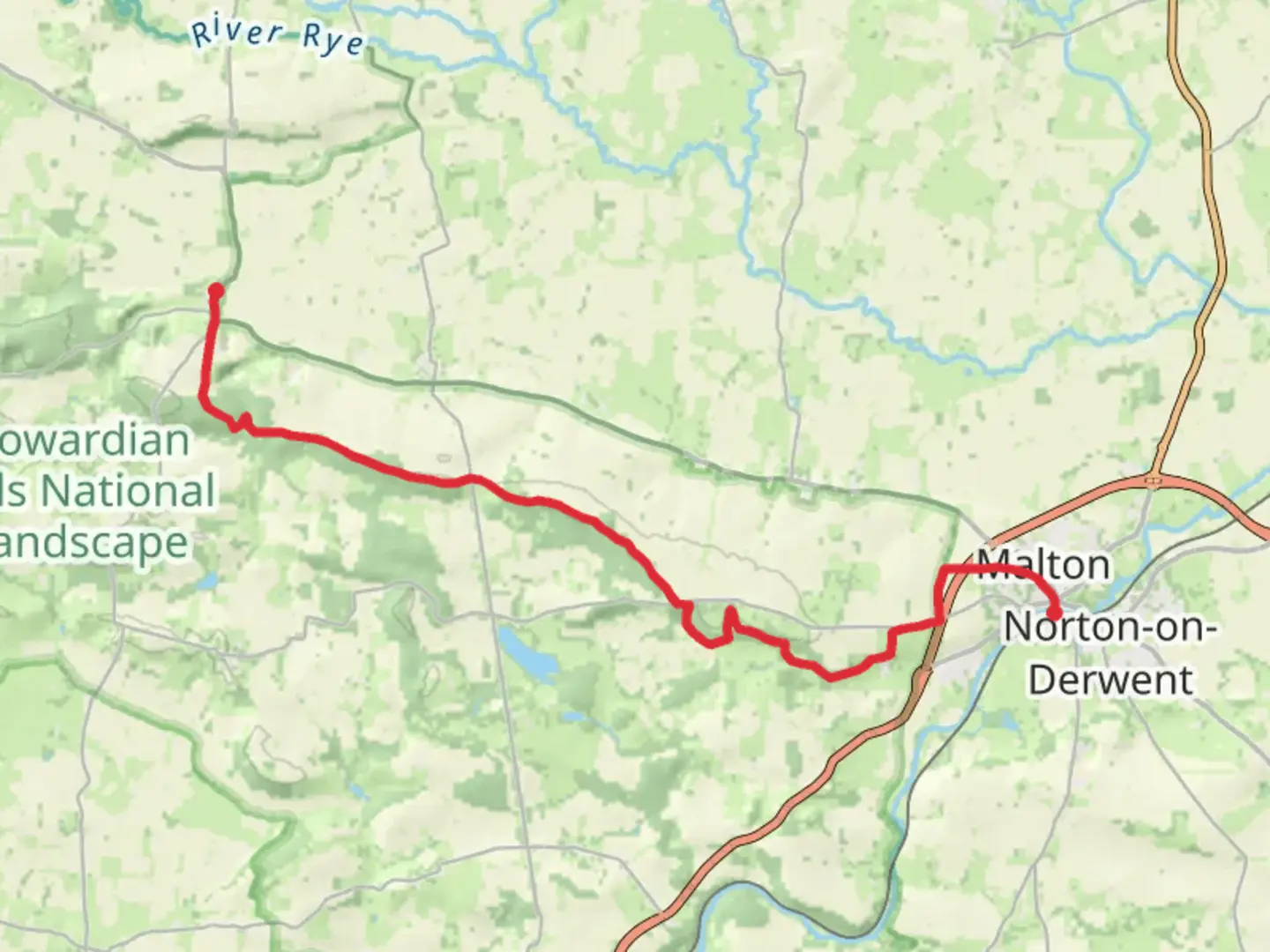
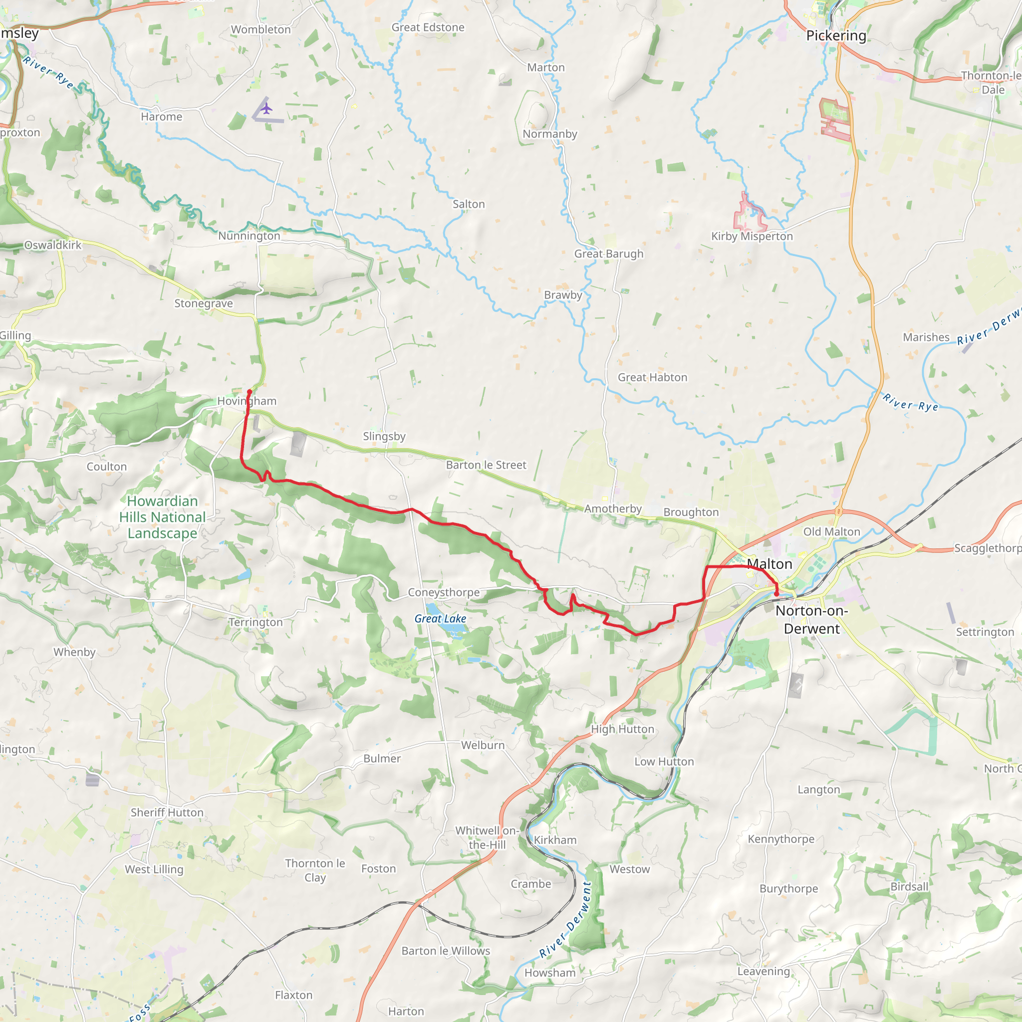
Starting near the picturesque village of Hovingham in North Yorkshire, England, this 18 km (approximately 11 miles) point-to-point trail offers a delightful mix of natural beauty, historical landmarks, and moderate physical challenge. With an elevation gain of around 300 meters (about 984 feet), the trail is rated as medium difficulty, making it suitable for hikers with some experience.
Getting There To reach the trailhead, you can either drive or use public transport. If driving, Hovingham is accessible via the A170 road. For those relying on public transport, the nearest major town is Malton, which has a train station with connections to York and Scarborough. From Malton, you can take a local bus to Hovingham, with services running regularly.
Trail Overview The trail begins in Hovingham, a charming village known for its historical architecture, including the Hovingham Hall, a stately home dating back to the 18th century. As you set off, you'll traverse through a mix of woodland, open fields, and quaint rural landscapes.
Key Landmarks and Sections
#### Hovingham to Slingsby (0-5 km / 0-3 miles) The first section of the trail takes you through the Hovingham Estate, where you'll encounter well-maintained paths and the occasional glimpse of deer. After about 5 km (3 miles), you'll reach the village of Slingsby. Here, you can explore the ruins of Slingsby Castle, a 17th-century manor house that adds a touch of historical intrigue to your hike.
#### Slingsby to Coneysthorpe (5-10 km / 3-6 miles) Continuing from Slingsby, the trail meanders through more open countryside and gently rolling hills. This section is relatively flat, offering a respite before the more challenging parts ahead. At around the 10 km (6 miles) mark, you'll arrive in Coneysthorpe, a small village that serves as a gateway to the Castle Howard estate.
#### Coneysthorpe to Malton (10-18 km / 6-11 miles) The final stretch of the trail takes you through the Castle Howard estate, one of the grandest stately homes in England. The estate's expansive grounds are a highlight, featuring beautifully landscaped gardens, lakes, and woodland. As you leave the estate, the trail becomes more undulating, with a few steeper sections that contribute to the overall elevation gain.
Nature and Wildlife Throughout the hike, you'll be treated to a variety of natural landscapes. The woodlands are home to a diverse range of bird species, including woodpeckers and owls. The open fields often have grazing sheep and cattle, adding to the rural charm. In the spring and summer months, wildflowers such as bluebells and primroses carpet the forest floor, making for a visually stunning experience.
Navigation and Safety Given the trail's length and varied terrain, it's advisable to use a reliable navigation tool like HiiKER to ensure you stay on track. The trail is generally well-marked, but having a digital map can be invaluable, especially in the more remote sections.
Historical Significance The region is steeped in history, from the ancient ruins of Slingsby Castle to the grandeur of Castle Howard. These landmarks offer a glimpse into England's rich past, making the hike not just a physical journey but a historical one as well.
Final Stretch As you approach Malton, the trail descends gently, leading you into this bustling market town. Known as the "Food Capital of Yorkshire," Malton offers a variety of dining options to reward yourself after the hike. The town's historical buildings and vibrant market square provide a fitting end to this scenic and enriching trail.
What to expect?
Activity types
Comments and Reviews
User comments, reviews and discussions about the Hovingham to Malton Walk, England.
5.0
average rating out of 5
1 rating(s)
