Download
Preview
Add to list
More
13.3 km
~3 hrs 17 min
389 m
Loop
“Embark on a scenic 13km journey through North Yorkshire's historical landscapes, brimming with wildlife and breathtaking vistas.”
Embarking on the Fermington Edge and East Raw Croft Loop, hikers will traverse approximately 13 kilometers (about 8 miles) of varied terrain with an elevation gain of around 300 meters (roughly 984 feet). This loop, nestled near North Yorkshire, England, offers a medium difficulty rating and provides a rich tapestry of natural beauty, historical significance, and a chance to spot local wildlife.
Getting to the Trailhead The trailhead is accessible by both public transport and car. For those opting for public transport, local buses serve the nearby villages, and from there, it's a short walk to the starting point. If driving, parking is available close to the trailhead. Utilizing HiiKER for navigation will help in pinpointing the exact starting location and planning the route to get there.
The Journey Begins Setting out from the trailhead, hikers are immediately greeted by the lush greenery typical of the North Yorkshire countryside. The initial stretch is a gentle incline, allowing walkers to warm up as they move towards the more challenging sections of the trail.
Historical Landmarks and Natural Beauty As the path ascends, one can't help but be drawn to the historical context of the area. North Yorkshire is steeped in history, with ancient ruins and long-standing structures dotting the landscape. The trail may offer views of distant castles or old farmsteads, each with a story to tell.
Wildlife Encounters The region is also known for its diverse wildlife. Birdwatchers will delight in the variety of birds that can be seen and heard throughout the hike. With a bit of luck, hikers might spot roe deer or badgers, especially during the quieter hours of the day.
Navigating the Trail The trail is well-marked, but it's always wise to have HiiKER at the ready for live navigation, especially at trail intersections or less defined sections. The app can also provide information on the distance covered and the elevation profile in real-time.
Challenging Ascents and Rewarding Views Midway through the hike, the trail presents its most challenging ascent. This is where the 300-meter elevation gain is most noticeable, but the effort is rewarded with panoramic views of the surrounding countryside. The sight of the Vale of York and the Yorkshire Dales in the distance is a highlight for many.
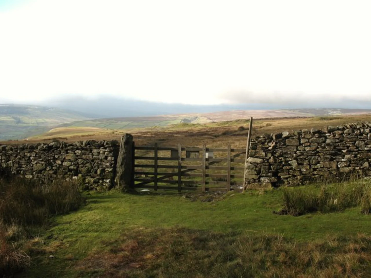
Descent and Loop Completion After reaching the highest point, the trail begins to descend. The terrain becomes easier underfoot, and the path winds through fields and past stone walls that are characteristic of the region. Completing the loop, hikers return to the trailhead, having experienced a slice of North Yorkshire's natural and historical splendor.
Preparation and Planning Before setting out, hikers should ensure they have appropriate gear for the weather, as conditions can change rapidly. Sturdy hiking boots, water, snacks, and a map or navigation device are essential. Checking the forecast and planning the hike with HiiKER will help ensure a safe and enjoyable experience on the Fermington Edge and East Raw Croft Loop.

What to expect?
Activity types
Comments and Reviews
User comments, reviews and discussions about the Fermington Edge and East Raw Croft Loop, England.
4.0
average rating out of 5
2 rating(s)