Download
Preview
Add to list
More
11.9 km
~2 hrs 53 min
309 m
Loop
“Explore North Yorkshire's stunning landscapes and history on the rewarding 12 km Elslack Reservoir Loop.”
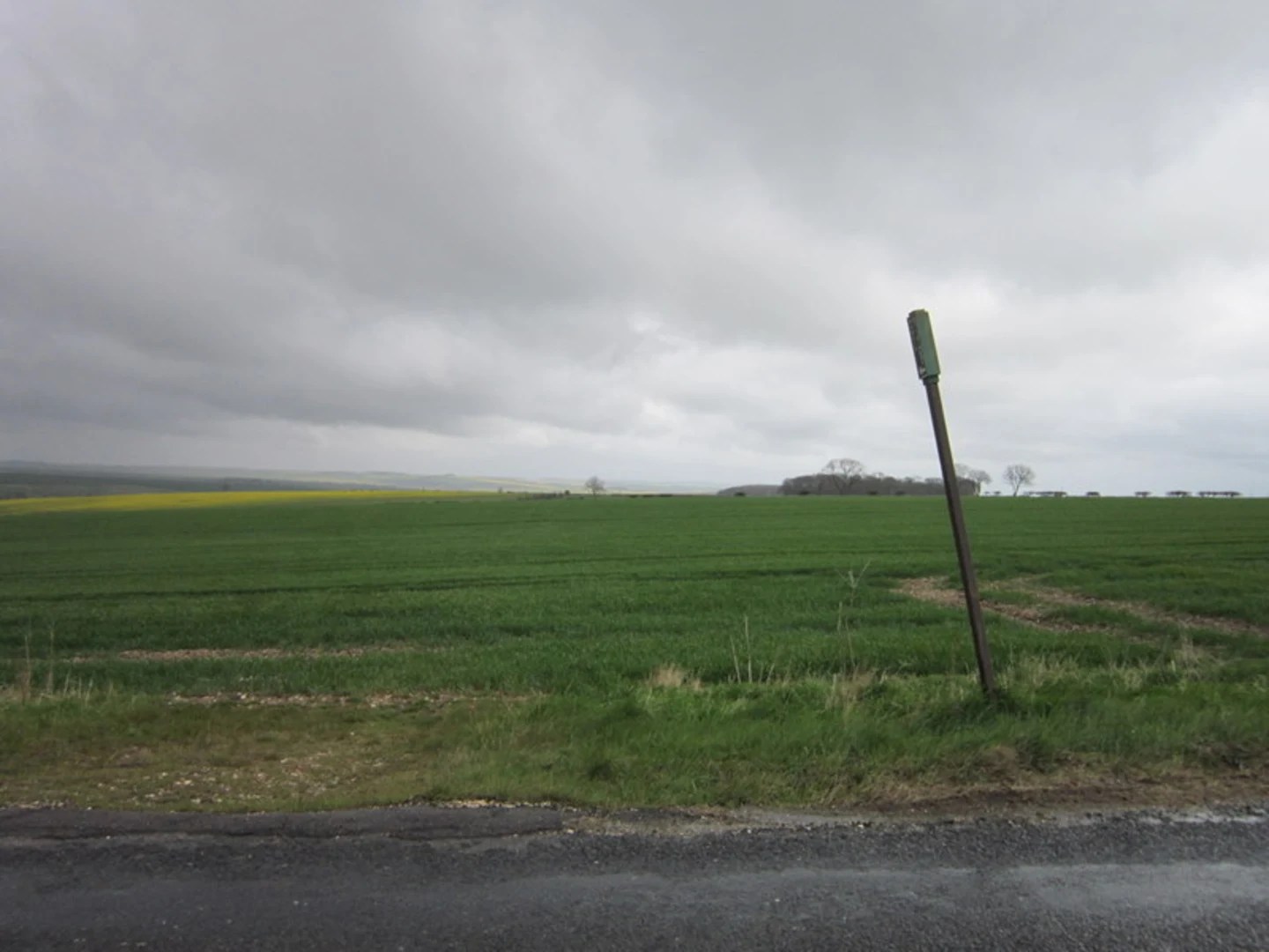
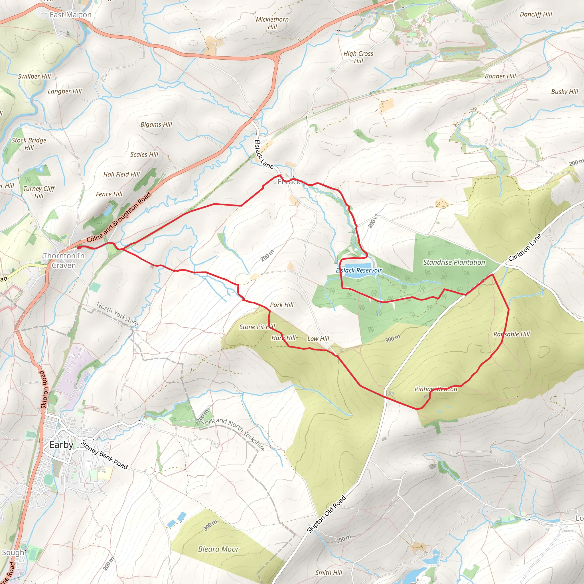
Starting near North Yorkshire, England, the Elslack Reservoir and Hare Hill and Pinhaw Beacon Loop is a captivating 12 km (7.5 miles) loop trail with an elevation gain of approximately 300 meters (984 feet). This medium-difficulty trail offers a blend of natural beauty, historical landmarks, and diverse wildlife, making it a rewarding experience for hikers.
Getting There To reach the trailhead, you can drive or use public transport. If driving, head towards the village of Elslack, which is easily accessible from the A56 road. For those using public transport, the nearest significant landmark is Skipton Railway Station. From Skipton, you can take a local bus or taxi to Elslack.
Trail Overview The trail begins near Elslack Reservoir, a serene body of water surrounded by lush greenery. As you start your hike, you'll be greeted by the tranquil sounds of water and the sight of various waterfowl, including ducks and swans. The reservoir area is relatively flat, making it a gentle start to your journey.
Ascending Hare Hill After approximately 2 km (1.2 miles), the trail begins to ascend towards Hare Hill. This section involves a moderate climb, gaining around 100 meters (328 feet) in elevation. The path here is well-trodden but can be muddy after rain, so sturdy hiking boots are recommended. As you climb, take a moment to enjoy the panoramic views of the surrounding countryside, dotted with traditional stone walls and farmhouses.
Pinhaw Beacon Continuing for another 3 km (1.9 miles), you'll reach Pinhaw Beacon, the highest point of the trail. The beacon stands at an elevation of 388 meters (1,273 feet) and offers breathtaking 360-degree views. On a clear day, you can see as far as the Yorkshire Dales and Pendle Hill. This spot is perfect for a rest and a snack while soaking in the scenery.
Historical Significance Pinhaw Beacon has historical significance as it was used as a signal point during the Napoleonic Wars. Beacons like this one were part of a network used to warn of impending invasions. The area is steeped in history, and you might even spot remnants of old stone structures along the way.
Descending Back The descent from Pinhaw Beacon is gradual and takes you through a mix of open moorland and wooded areas. After about 4 km (2.5 miles), you'll pass through the charming hamlet of Thornton-in-Craven. Here, you can explore the historic St. Mary's Church, which dates back to the 12th century.
Wildlife and Flora The trail is rich in wildlife and flora. Keep an eye out for red grouse, lapwings, and curlews in the open moorland sections. The wooded areas are home to deer, rabbits, and a variety of bird species. In spring and summer, the trail is adorned with wildflowers, including bluebells and heather.
Navigation For navigation, it's highly recommended to use the HiiKER app, which provides detailed maps and real-time updates. The trail is well-marked, but having a reliable navigation tool ensures you stay on track, especially in the more remote sections.
Final Stretch The final 3 km (1.9 miles) of the trail take you back towards Elslack Reservoir, completing the loop. This section is relatively flat and offers a peaceful end to your hike. As you approach the reservoir, take a moment to reflect on the diverse landscapes and historical landmarks you've encountered.
This trail offers a perfect blend of natural beauty, historical intrigue, and moderate physical challenge, making it an ideal choice for hikers looking to explore the North Yorkshire countryside.
What to expect?
Activity types
Comments and Reviews
User comments, reviews and discussions about the Elslack Reserrvoir and Hare Hill and Pinhaw Beacon Loop, England.
4.6
average rating out of 5
5 rating(s)

