Download
Preview
Add to list
More
11.9 km
~2 hrs 46 min
242 m
Loop
“The Castley and North Rigton Loop via Almscliffe Crag offers stunning views, rich history, and diverse wildlife.”
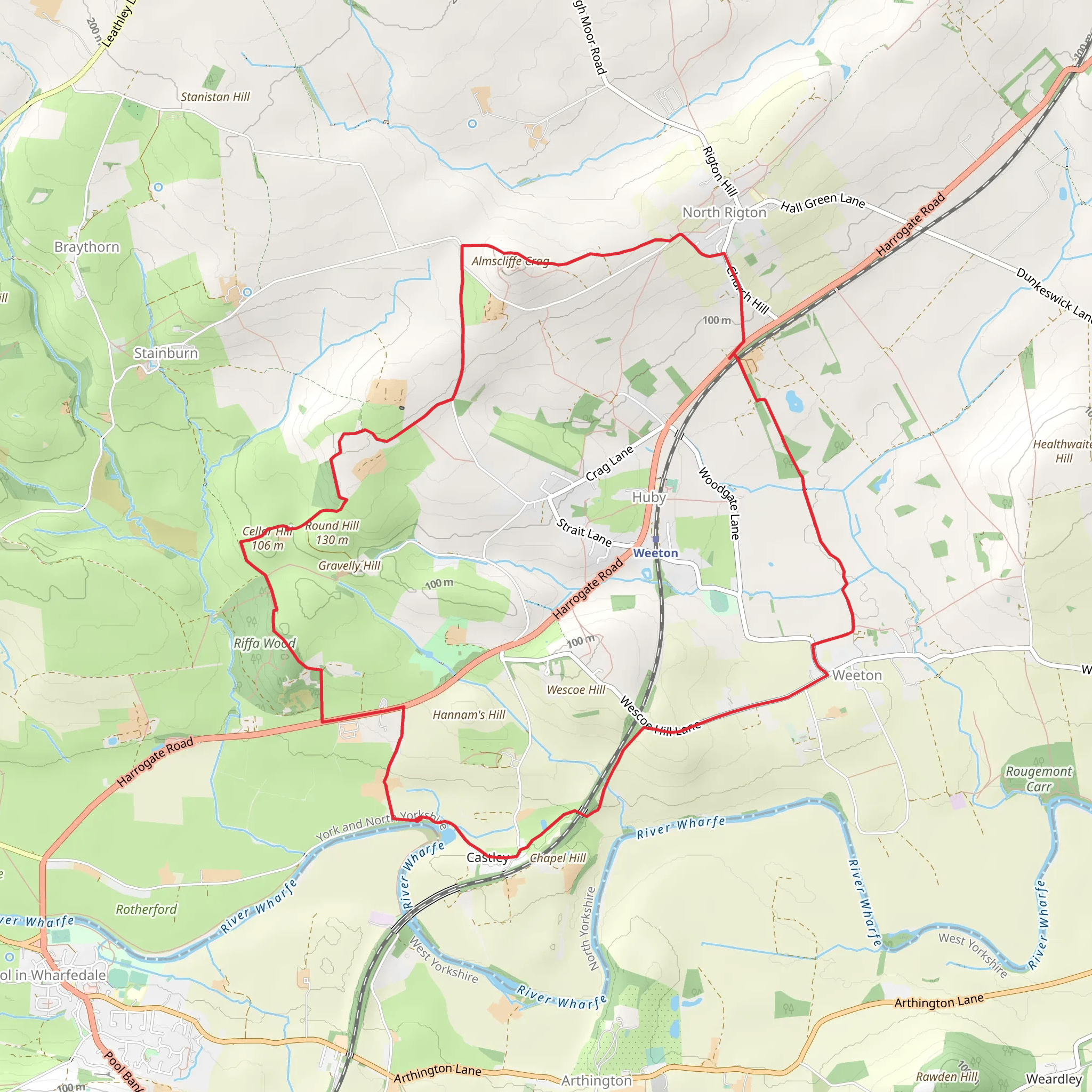
Starting near North Yorkshire, England, the Castley and North Rigton Loop via Almscliffe Crag is a delightful 12 km (7.5 miles) loop trail with an elevation gain of approximately 200 meters (656 feet). This medium-difficulty trail offers a mix of scenic landscapes, historical landmarks, and opportunities to observe local wildlife.
Getting There To reach the trailhead, you can drive or use public transport. If driving, set your GPS to the nearest known address: Almscliffe Crag, North Rigton, Harrogate HG3 1QB, UK. For public transport, take a train to Weeton Station, which is about 2 miles (3.2 km) from the trailhead. From there, you can either walk or take a local taxi to the starting point.
Trail Overview The trail begins near North Rigton, a quaint village that sets the tone for the picturesque journey ahead. As you start, you'll be greeted by rolling hills and open fields, typical of the North Yorkshire countryside. The first section of the trail is relatively flat, making it a good warm-up for the more challenging parts ahead.
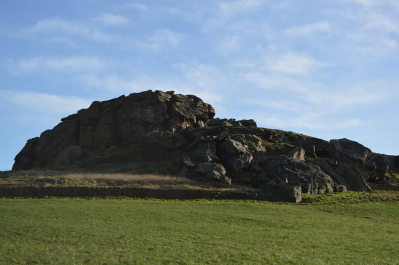
Almscliffe Crag Approximately 3 km (1.9 miles) into the hike, you'll reach Almscliffe Crag, a prominent rock formation that offers stunning panoramic views of the surrounding area. This crag is not only a natural wonder but also holds historical significance. It has been a landmark for centuries, often referenced in local folklore and history. Take a moment to explore the crag and perhaps enjoy a picnic while soaking in the views.
Wildlife and Nature As you continue, the trail meanders through a mix of woodlands and open fields. Keep an eye out for local wildlife, including deer, rabbits, and a variety of bird species. The area is particularly known for its rich birdlife, so bringing a pair of binoculars could enhance your experience.
Historical Landmarks Around the halfway point, near the village of Castley, you'll encounter several historical landmarks. One notable site is the remnants of an old Roman road, a testament to the area's long history of human settlement. This section of the trail also offers a slight elevation gain, providing a moderate challenge and rewarding you with more expansive views.
Navigation For navigation, it's highly recommended to use the HiiKER app, which provides detailed maps and real-time updates to ensure you stay on track. The trail is well-marked, but having a reliable navigation tool can be invaluable, especially in more remote sections.
Final Stretch The last part of the loop takes you back towards North Rigton, passing through lush meadows and small streams. This section is relatively easy, allowing you to cool down and reflect on the journey. As you approach the end, you'll pass by a few charming cottages and farms, adding a touch of rural charm to your hike.
This trail offers a balanced mix of natural beauty, historical intrigue, and moderate physical challenge, making it a rewarding experience for hikers of all levels.
What to expect?
Activity types
Comments and Reviews
User comments, reviews and discussions about the Castley and North Rigton Loop via Almscliffe Crag, England.
4.33
average rating out of 5
3 rating(s)

