Download
Preview
Add to list
More
13.2 km
~2 hrs 50 min
122 m
Point-to-Point
“The Strood to Springhead Walk offers historical landmarks, stunning views, and moderate challenges over 13 kilometers.”
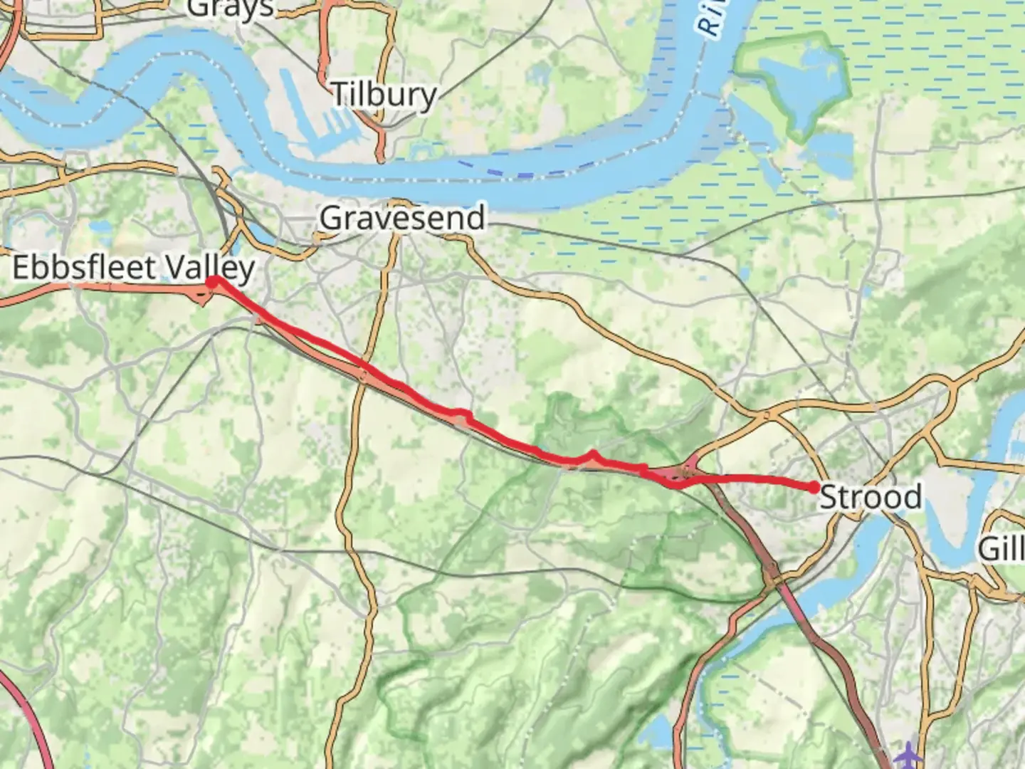
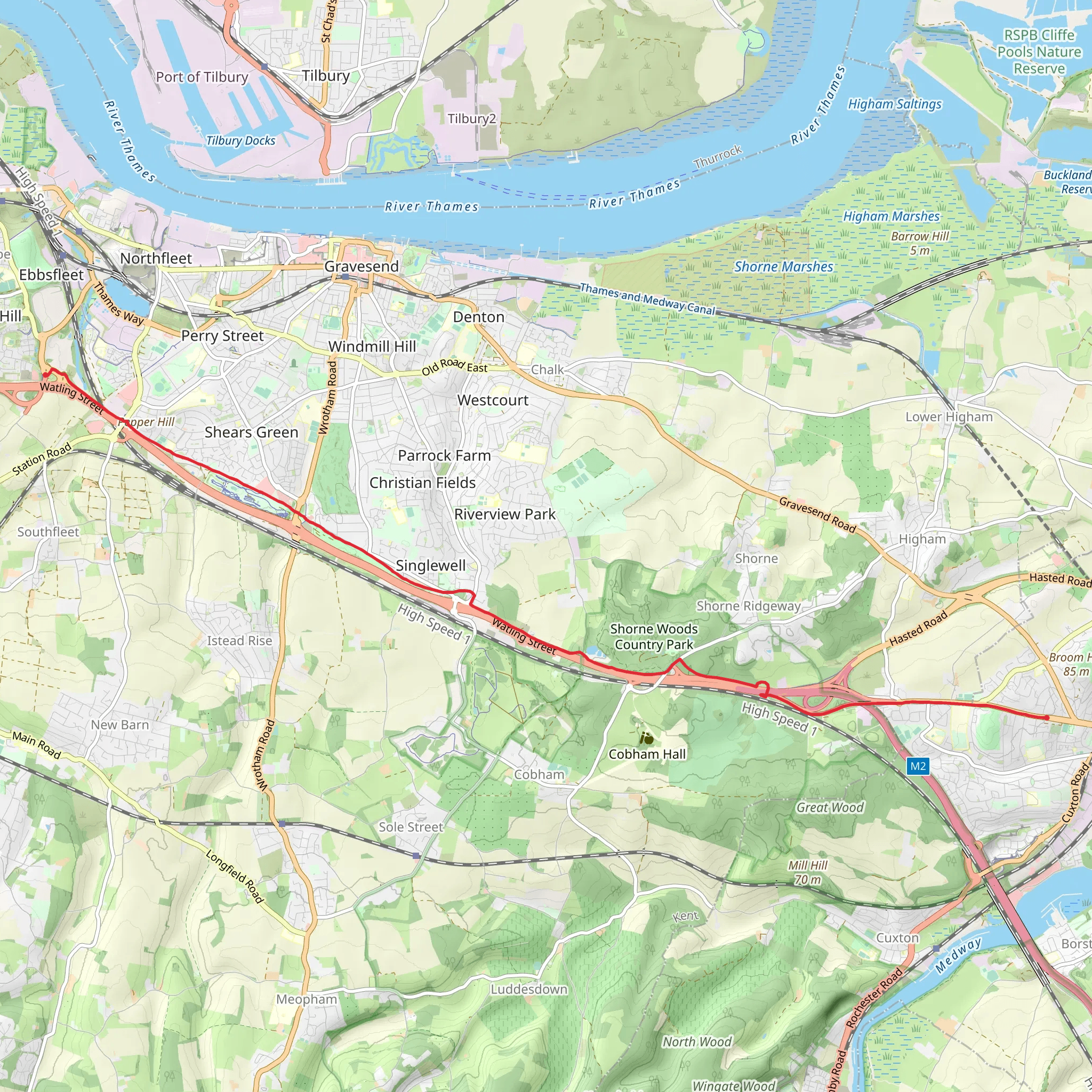
Starting near Medway, England, the Strood to Springhead Walk spans approximately 13 kilometers (around 8 miles) with an elevation gain of about 100 meters (328 feet). This point-to-point trail is estimated to be of medium difficulty, making it suitable for moderately experienced hikers.### Getting There To reach the trailhead, you can take a train to Strood Station, which is well-connected to London and other major cities. If you're driving, there are parking facilities available near the station. From Strood Station, the trailhead is just a short walk away.### Trail Overview The trail begins in Strood, a town with a rich history dating back to Roman times. As you set off, you'll pass through urban areas before quickly transitioning into more rural landscapes. The initial part of the trail is relatively flat, making for an easy start.### Significant Landmarks and Historical Sites Around the 3-kilometer (1.9-mile) mark, you'll come across the Medway Viaducts, a series of impressive bridges that span the River Medway. These structures are a testament to Victorian engineering and offer a great spot for photography.Continuing on, you'll reach the village of Cuxton at approximately 5 kilometers (3.1 miles). Cuxton is home to the historic St. Michael and All Angels Church, which dates back to the 11th century. This is a good place to take a short break and explore the local history.### Nature and Wildlife As you leave Cuxton, the trail begins to ascend gently, offering panoramic views of the surrounding countryside. This area is rich in wildlife, including various bird species such as kestrels and skylarks. Keep an eye out for these as you hike.Around the 8-kilometer (5-mile) mark, you'll enter the Ranscombe Farm Reserve. This nature reserve is known for its diverse plant life, including several species of wildflowers that bloom in the spring and summer. The reserve also offers a network of well-maintained paths, making navigation straightforward.### Final Stretch The last section of the trail takes you through the North Downs, a range of chalk hills that offer stunning views and a bit more elevation gain. The highest point of the trail is around 100 meters (328 feet) above sea level, providing a rewarding challenge for hikers.As you approach Springhead, you'll pass through ancient woodlands and open fields. The trail ends near the Springhead Enterprise Park, where you can catch a bus or arrange for a taxi to take you back to Strood or your next destination.### Navigation and Safety For navigation, it's highly recommended to use the HiiKER app, which provides detailed maps and real-time updates. Make sure to carry enough water and wear appropriate footwear, as some sections can be muddy, especially after rain.This trail offers a blend of historical landmarks, natural beauty, and moderate physical challenge, making it a rewarding experience for those who undertake it.
What to expect?
Activity types
Comments and Reviews
User comments, reviews and discussions about the Strood to Springhead Walk, England.
4.5
average rating out of 5
4 rating(s)
